Right side scores 3.0 vs left's 2.5. The right side captures the Western Cordillera drama during takeoff (steep, forested mountains rising immediately from the valley) and the Cartagena archipelago and walled city during landing. Left side offers only valley floor and open water. The route is short (under 90 minutes) over relatively modest terrain, preventing either side from reaching 3.5+, but right's combination of mountain relief and coastal-island scenery at both ends edges out left's flatter, less distinctive views.
Flown CLO to CTG? Did we get it right?
Flight Path
Cali to Cartagena is 480 miles (773 km), a flight of about 1 hour 40 minutes.
Cauca River valley running north-south; transition from inland Cauca Valley to coastal lowlands; Caribbean coastal plain with scattered towns and mangrove areas; no major mountain crossings on this route
Great circle distance and headings ›Phase by phase
Takeoff from CLO
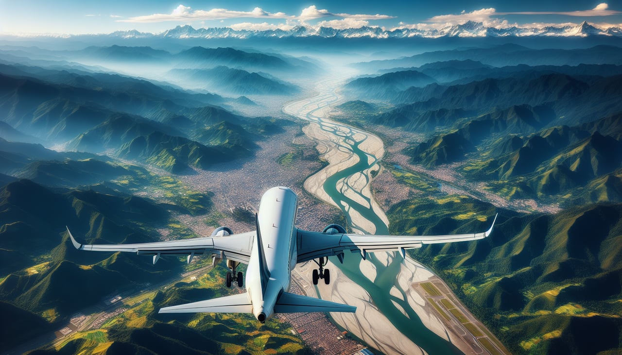
RIGHTRunway 02 departures head north up the Cauca Valley with the Western Cordillera rising immediately to the right (west). Left side shows the valley floor and distant eastern ranges. Right offers dramatic mountain relief from the moment of rotation.
Landing at CTG
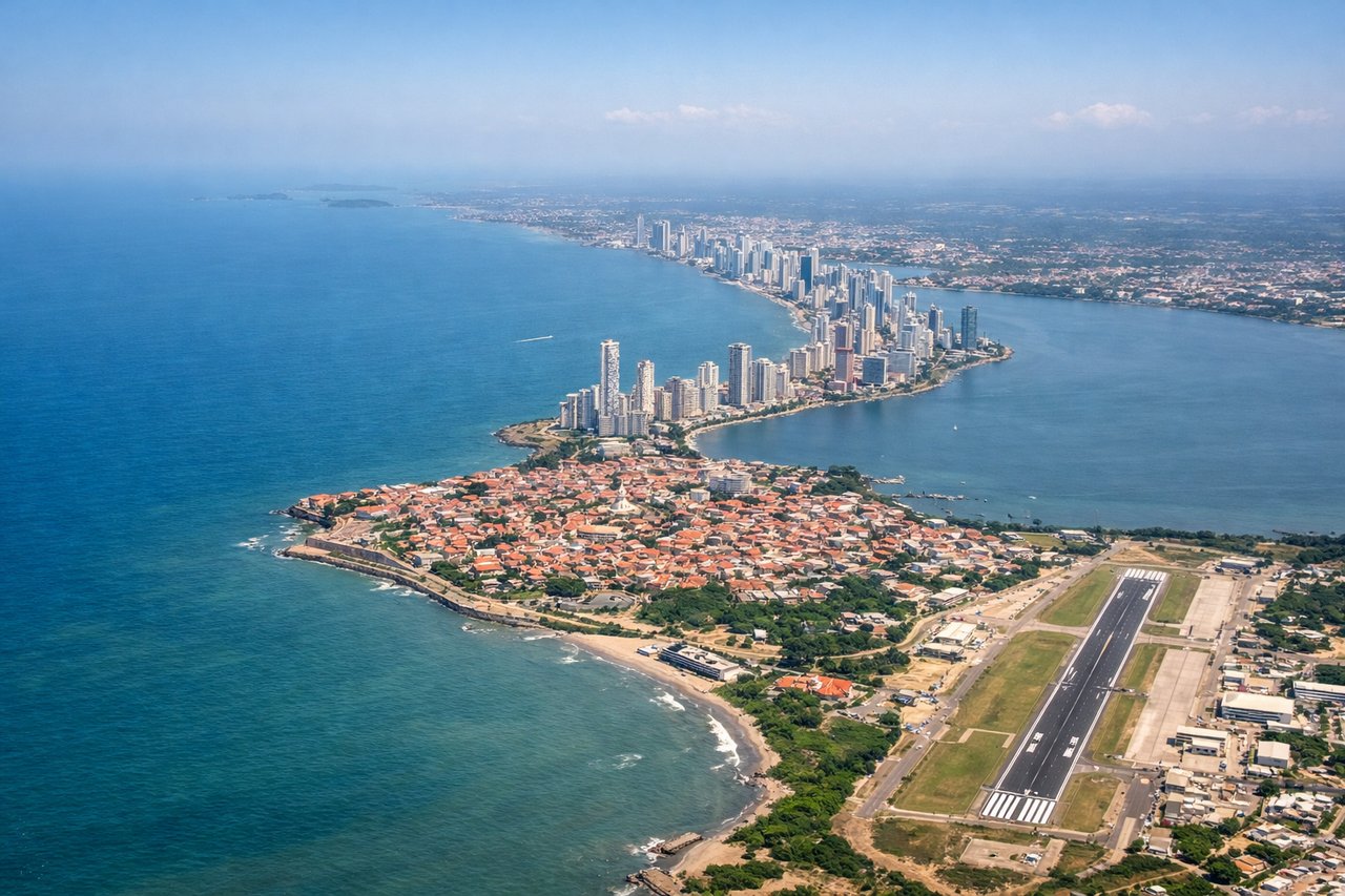
RIGHTApproach to CTG typically descends from the south over the Caribbean coast. Right side (west) shows the Cartagena harbor, walled old city, and Rosario Islands archipelago. Left side shows open Caribbean water. Right captures the urban and island geography that makes Cartagena distinctive.
Will your flight be in sunlight?
Pick a date and time in the Sun Map to watch the sun move across your whole flight.
About This Route
Which side of the plane should I sit on flying from Alfonso Bonilla Aragon International (CLO) to Rafael Nunez (CTG)?
Sit on the Right side of the plane for the best views on flights from Cali to Cartagena. Right side scores 3.0 vs left's 2.5. The right side captures the Western Cordillera drama during takeoff (steep, forested mountains rising immediately from the valley) and the Cartagena archipelago and walled city during landing. Left side offers only valley floor and open water. The route is short (under 90 minutes) over relatively modest terrain, preventing either side from reaching 3.5+, but right's combination of mountain relief and coastal-island scenery at both ends edges out left's flatter, less distinctive views.
What can I see during takeoff from Alfonso Bonilla Aragon International in Cali?
During takeoff from Alfonso Bonilla Aragon International (CLO), sit on the Right side for the best views. Runway 02 departures head north up the Cauca Valley with the Western Cordillera rising immediately to the right (west). Left side shows the valley floor and distant eastern ranges. Right offers dramatic mountain relief from the moment of rotation. Notable sights include: Western Cordillera peaks (3,000–4,500 m elevation), Cauca River valley floor, Cristo Rey ridge south of Cali.
What can I see when landing at Rafael Nunez in Cartagena?
When landing at Rafael Nunez (CTG), sit on the Right side for the best views. Approach to CTG typically descends from the south over the Caribbean coast. Right side (west) shows the Cartagena harbor, walled old city, and Rosario Islands archipelago. Left side shows open Caribbean water. Right captures the urban and island geography that makes Cartagena distinctive. Notable sights include: Cartagena walled old city (UNESCO site, visible as dense urban grid), Cartagena harbor and bay, Rosario Islands (Islas del Rosario) archipelago, Caribbean coastline.
How long is the flight from Cali to Cartagena?
The flight from Alfonso Bonilla Aragon International (CLO) to Rafael Nunez (CTG) takes about 1 hour 40 minutes. The shortest flight path between them is 480 miles (773 km); winds and air traffic control usually add a few percent.
What does the Cali to Cartagena flight path pass over?
Cauca River valley running north-south; transition from inland Cauca Valley to coastal lowlands; Caribbean coastal plain with scattered towns and mangrove areas; no major mountain crossings on this route