The right side offers a stronger combination of departure views over Copenhagen and the Öresund, a dramatic northern cruise track past Norway's coast and Greenland's ice sheet, and a scenic Golden Gate approach into SFO, while the left side stays over flatter terrain and open ocean for most of the flight.
Flight Path
Southern Norwegian coastline and fjords, the Norwegian Sea, the southern tip of Greenland's ice sheet, and the Labrador Sea before the route continues over northern Canada toward the Rockies and California coast
Great circle distance and headings ›


.jpg?width=600)

Phase by phase
Takeoff from CPH
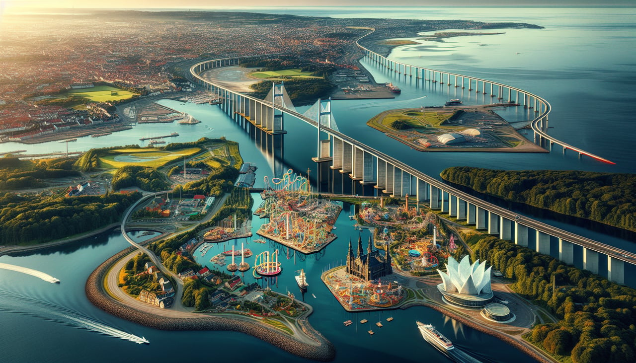
RIGHTDeparting CPH, the climb-out and turn toward the northwest puts Copenhagen's city center, the harbor, and the Øresund Strait with the Öresund Bridge toward Malmö on the right side of the aircraft. The left side mostly shows flat, rural Zealand farmland.
Landing at SFO
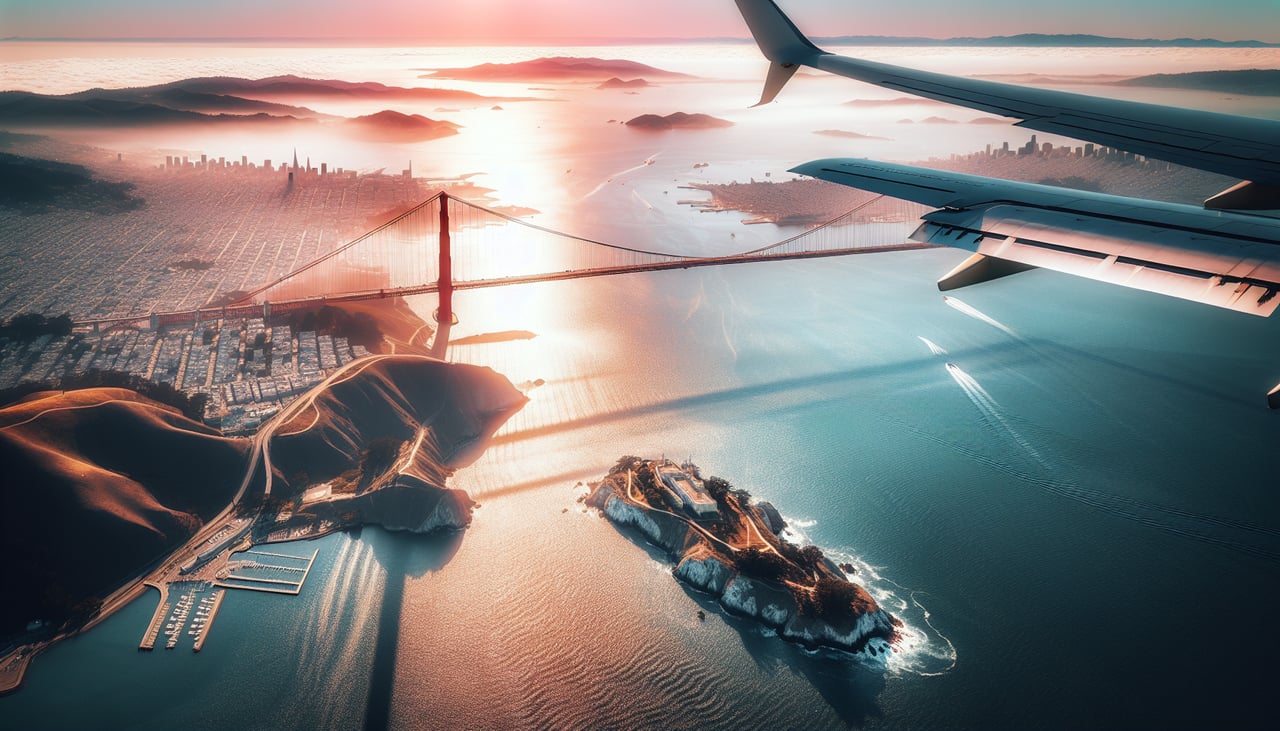
RIGHTOn the descent into SFO, typical arrivals cross the northern Bay Area before turning onto the westward runways, putting the Golden Gate Bridge, Marin Headlands, and Alcatraz Island on the right side of the aircraft. The left side mainly shows the flatter South Bay and Silicon Valley suburbs.
Landmarks on this routeAll landmarks →
Will your flight be in sunlight?
See exactly which side of the plane gets sun and shade at your departure time.
About This Route
Which side of the plane should I sit on flying from Kastrup (CPH) to San Francisco International (SFO)?
Sit on the Right side of the plane for the best views on flights from Copenhagen to San Francisco. The right side offers a stronger combination of departure views over Copenhagen and the Öresund, a dramatic northern cruise track past Norway's coast and Greenland's ice sheet, and a scenic Golden Gate approach into SFO, while the left side stays over flatter terrain and open ocean for most of the flight.
What can I see during takeoff from Kastrup in Copenhagen?
During takeoff from Kastrup (CPH), sit on the Right side for the best views. Departing CPH, the climb-out and turn toward the northwest puts Copenhagen's city center, the harbor, and the Øresund Strait with the Öresund Bridge toward Malmö on the right side of the aircraft. The left side mostly shows flat, rural Zealand farmland. Notable sights include: Copenhagen city center and harbor, Øresund Strait, Öresund Bridge, Malmö coastline.
What can I see when landing at San Francisco International in San Francisco?
When landing at San Francisco International (SFO), sit on the Right side for the best views. On the descent into SFO, typical arrivals cross the northern Bay Area before turning onto the westward runways, putting the Golden Gate Bridge, Marin Headlands, and Alcatraz Island on the right side of the aircraft. The left side mainly shows the flatter South Bay and Silicon Valley suburbs. Notable sights include: Golden Gate Bridge, Alcatraz Island, Marin Headlands, San Francisco Bay.
How long is the flight from Copenhagen to San Francisco?
The flight from Kastrup (CPH) to San Francisco International (SFO) takes 10h 55m.
What does the Copenhagen to San Francisco flight path pass over?
Southern Norwegian coastline and fjords, the Norwegian Sea, the southern tip of Greenland's ice sheet, and the Labrador Sea before the route continues over northern Canada toward the Rockies and California coast