While the DCA takeoff offers a brief glimpse of the monuments, the Denver approach delivers a sustained, dramatic view of the Rocky Mountains rising from the plains, which is the more visually striking and memorable feature of this route.
Flight Path
Appalachian ridges of Virginia and West Virginia, the Ohio River Valley, and the flat farmland of Kansas and eastern Colorado leading up to the Front Range
Great circle distance and headings ›.jpeg?width=600)

Phase by phase
Takeoff from DCA
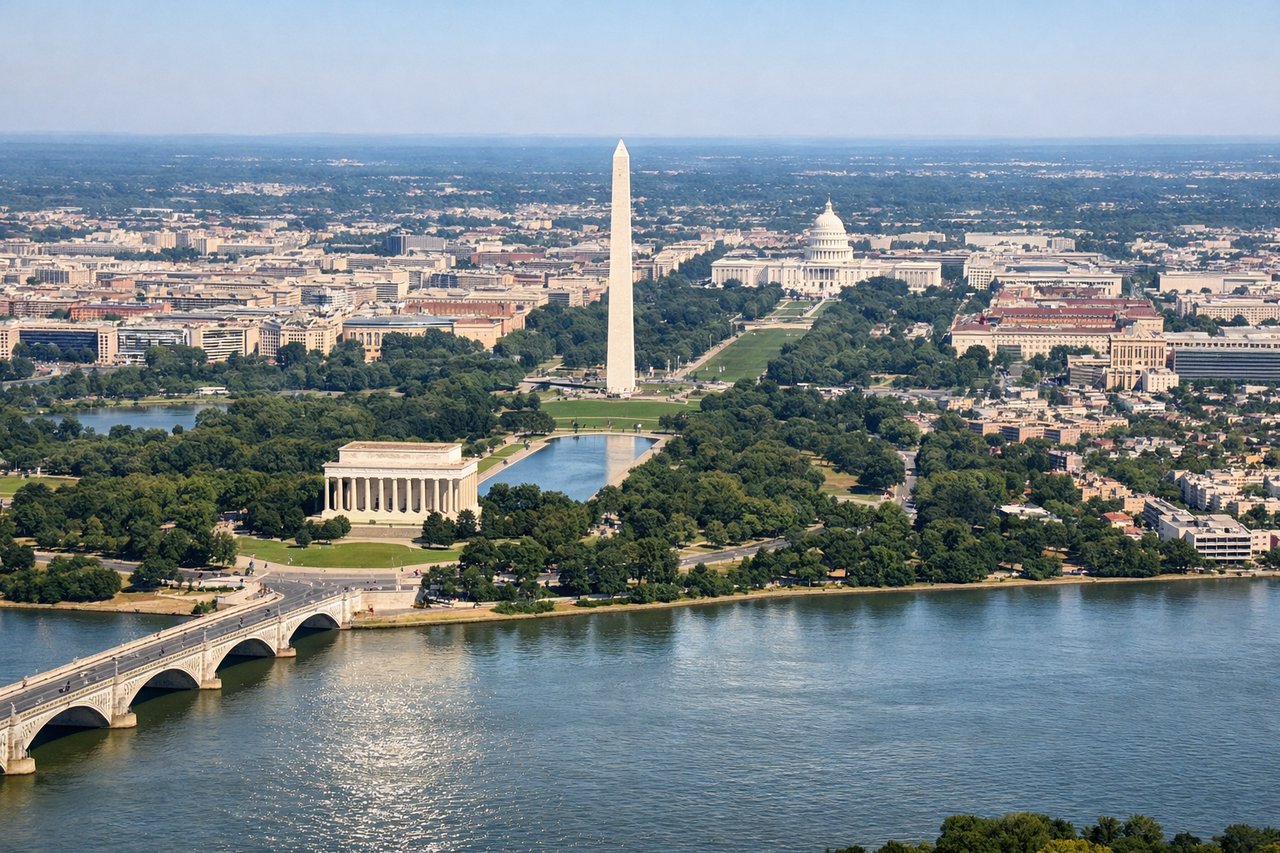
LEFTDeparting DCA on Runway 01, the aircraft climbs north over the Potomac before banking left to head west toward Denver. That left turn swings the DC monuments and downtown skyline into view on the left side briefly before the city falls behind.
Landing at DEN
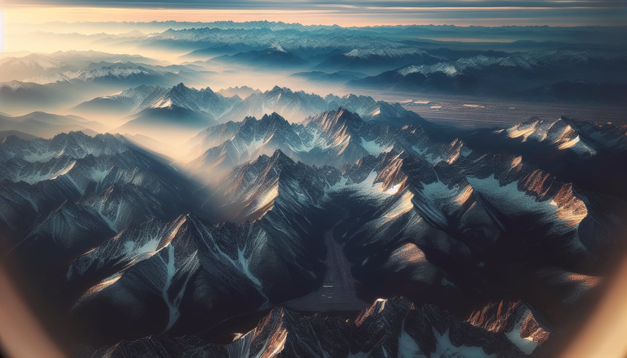
RIGHTDenver's arrivals from the east typically align with the north-south runways, putting the Rocky Mountains directly off the right side of the aircraft during final descent. The abrupt rise of the Front Range against the flat plains is a dramatic, recognizable feature.
Landmarks on this routeAll landmarks →
Will your flight be in sunlight?
See exactly which side of the plane gets sun and shade at your departure time.
About This Route
Which side of the plane should I sit on flying from Ronald Reagan Washington National (DCA) to Denver International (DEN)?
Sit on the Right side of the plane for the best views on flights from Washington to Denver. While the DCA takeoff offers a brief glimpse of the monuments, the Denver approach delivers a sustained, dramatic view of the Rocky Mountains rising from the plains, which is the more visually striking and memorable feature of this route.
What can I see during takeoff from Ronald Reagan Washington National in Washington?
During takeoff from Ronald Reagan Washington National (DCA), sit on the Left side for the best views. Departing DCA on Runway 01, the aircraft climbs north over the Potomac before banking left to head west toward Denver. That left turn swings the DC monuments and downtown skyline into view on the left side briefly before the city falls behind. Notable sights include: Washington Monument, U.S. Capitol, Potomac River, Pentagon.
What can I see when landing at Denver International in Denver?
When landing at Denver International (DEN), sit on the Right side for the best views. Denver's arrivals from the east typically align with the north-south runways, putting the Rocky Mountains directly off the right side of the aircraft during final descent. The abrupt rise of the Front Range against the flat plains is a dramatic, recognizable feature. Notable sights include: Front Range of the Rocky Mountains, Longs Peak, Denver's flat plains approach, South Platte River.
How long is the flight from Washington to Denver?
The flight from Ronald Reagan Washington National (DCA) to Denver International (DEN) takes 3h 40m.
What does the Washington to Denver flight path pass over?
Appalachian ridges of Virginia and West Virginia, the Ohio River Valley, and the flat farmland of Kansas and eastern Colorado leading up to the Front Range