The right side combines a strong departure view of the Potomac River and the National Mall with a scenic Narragansett Bay approach into Providence, while the left side offers mostly flat suburban and inland terrain for the whole flight.
Flown DCA to PVD? Did we get it right?
Flight Path
Washington to Providence is 356 miles (573 km), a flight of about 1 hour 30 minutes.
Mid-Atlantic coastal plain with the Delaware River and Bay below, distant glimpses of the Philadelphia and New York skylines, and the waters of Long Island Sound near the end of cruise.
Great circle distance and headings ›

Phase by phase
Takeoff from DCA
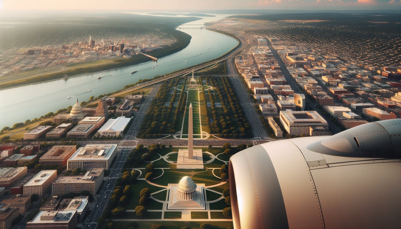
RIGHTDeparting DCA northbound and banking east toward New England, the right side gets the classic view of the Potomac River, the National Mall, the Capitol dome, and the Pentagon as the aircraft turns away from the city. The left side mostly shows Arlington's residential grid and highways.
Landing at PVD
RIGHTOn approach into PVD from the southwest, the final turn brings Narragansett Bay and the Providence skyline into view on the right side, with the bay's inlets and green shoreline standing out against the water. The left side shows mostly wooded Rhode Island and Connecticut countryside with no coastal features.
Will your flight be in sunlight?
Pick a date and time in the Sun Map to watch the sun move across your whole flight.
About This Route
Which side of the plane should I sit on flying from Ronald Reagan Washington National (DCA) to Theodore Francis Green State (PVD)?
Sit on the Right side of the plane for the best views on flights from Washington to Providence. The right side combines a strong departure view of the Potomac River and the National Mall with a scenic Narragansett Bay approach into Providence, while the left side offers mostly flat suburban and inland terrain for the whole flight.
What can I see during takeoff from Ronald Reagan Washington National in Washington?
During takeoff from Ronald Reagan Washington National (DCA), sit on the Right side for the best views. Departing DCA northbound and banking east toward New England, the right side gets the classic view of the Potomac River, the National Mall, the Capitol dome, and the Pentagon as the aircraft turns away from the city. The left side mostly shows Arlington's residential grid and highways. Notable sights include: Potomac River, U.S. Capitol and National Mall, Washington Monument, Pentagon.
What can I see when landing at Theodore Francis Green State in Providence?
When landing at Theodore Francis Green State (PVD), sit on the Right side for the best views. On approach into PVD from the southwest, the final turn brings Narragansett Bay and the Providence skyline into view on the right side, with the bay's inlets and green shoreline standing out against the water. The left side shows mostly wooded Rhode Island and Connecticut countryside with no coastal features. Notable sights include: Narragansett Bay, Providence skyline, Rocky Point shoreline, Warwick coastline.
How long is the flight from Washington to Providence?
The flight from Ronald Reagan Washington National (DCA) to Theodore Francis Green State (PVD) takes about 1 hour 30 minutes. The shortest flight path between them is 356 miles (573 km); winds and air traffic control usually add a few percent.
What does the Washington to Providence flight path pass over?
Mid-Atlantic coastal plain with the Delaware River and Bay below, distant glimpses of the Philadelphia and New York skylines, and the waters of Long Island Sound near the end of cruise.