Both sides score equally at 2.5 because this is a short, relatively flat route (approximately 1 hour 15 minutes) with limited dramatic terrain. The left side edges ahead marginally for takeoff scenery from Dehradun's valley setting, while the right side offers slightly better city views during Ahmedabad's approach. The route crosses the Gujarat plains with minimal elevation change, no major mountain ranges, no coastline, and no significant water bodies. Neither side offers compelling scenic value; this is a utilitarian regional flight over agricultural and urban terrain.
Flown DED to AMD? Did we get it right?
Flight Path
Dehra Dun to Ahmedabad is 599 miles (963 km), a flight of about 1 hour 15 minutes.
Gujarat plains with scattered towns and villages, agricultural fields, minor river valleys, flat terrain throughout with no significant elevation changes or dramatic landmarks
Great circle distance and headings ›Phase by phase
Takeoff from DED
LEFTDehradun sits in the Doon Valley surrounded by the Shivalik Range foothills to the north and east. Left-side passengers departing on runway 26 (westbound) will see the valley floor and immediate hill terrain. Right-side passengers see the same valley but with less dramatic immediate relief during the initial climb.
Landing at AMD
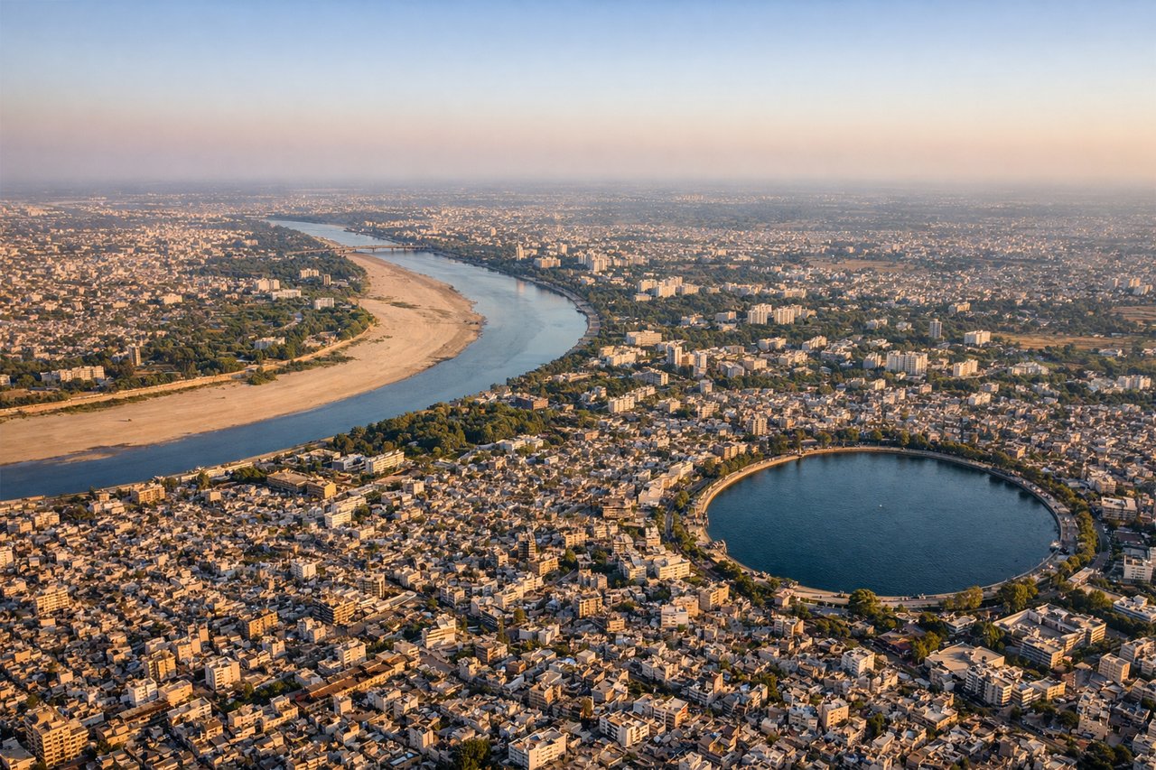
RIGHTAhmedabad's approach from the northeast (runway 05) brings aircraft over the Sabarmati River and the city's eastern industrial and residential zones. Right-side passengers descending toward runway 05 will see the river, urban sprawl, and the flat Gujarat plains. Left-side passengers see similar terrain but at a less favorable angle for city observation.
Will your flight be in sunlight?
Pick a date and time in the Sun Map to watch the sun move across your whole flight.
About This Route
Which side of the plane should I sit on flying from Dehradun (DED) to Ahmedabad (AMD)?
Sit on the Left side of the plane for the best views on flights from Dehra Dun to Ahmedabad. Both sides score equally at 2.5 because this is a short, relatively flat route (approximately 1 hour 15 minutes) with limited dramatic terrain. The left side edges ahead marginally for takeoff scenery from Dehradun's valley setting, while the right side offers slightly better city views during Ahmedabad's approach. The route crosses the Gujarat plains with minimal elevation change, no major mountain ranges, no coastline, and no significant water bodies. Neither side offers compelling scenic value; this is a utilitarian regional flight over agricultural and urban terrain.
What can I see during takeoff from Dehradun in Dehra Dun?
During takeoff from Dehradun (DED), sit on the Left side for the best views. Dehradun sits in the Doon Valley surrounded by the Shivalik Range foothills to the north and east. Left-side passengers departing on runway 26 (westbound) will see the valley floor and immediate hill terrain. Right-side passengers see the same valley but with less dramatic immediate relief during the initial climb. Notable sights include: Shivalik Range foothills, Doon Valley floor, Rispana River valley, Dehradun city grid.
What can I see when landing at Ahmedabad in Ahmedabad?
When landing at Ahmedabad (AMD), sit on the Right side for the best views. Ahmedabad's approach from the northeast (runway 05) brings aircraft over the Sabarmati River and the city's eastern industrial and residential zones. Right-side passengers descending toward runway 05 will see the river, urban sprawl, and the flat Gujarat plains. Left-side passengers see similar terrain but at a less favorable angle for city observation. Notable sights include: Sabarmati River, Ahmedabad city sprawl, Gujarat plains, industrial zones east of city center.
How long is the flight from Dehra Dun to Ahmedabad?
The flight from Dehradun (DED) to Ahmedabad (AMD) takes about 1 hour 15 minutes. The shortest flight path between them is 599 miles (963 km); winds and air traffic control usually add a few percent.
What does the Dehra Dun to Ahmedabad flight path pass over?
Gujarat plains with scattered towns and villages, agricultural fields, minor river valleys, flat terrain throughout with no significant elevation changes or dramatic landmarks