Denver to Reno is 802 miles (1,291 km), a flight of about 1 hour 55 minutes.
The left side wins for both takeoff and landing, bookending the flight with dramatic mountain scenery — the Front Range on departure and the Sierra Nevada escarpment on arrival — while the right side mostly shows featureless high desert and basin-and-range terrain for most of the route.
Flight Path
The route crosses the Great Basin of Nevada, including the Ruby Mountains and numerous isolated north-south trending mountain ranges separated by flat desert valleys typical of the Basin and Range Province.
Great circle distance and headings ›.jpg?width=600)

Phase by phase
Takeoff from DEN
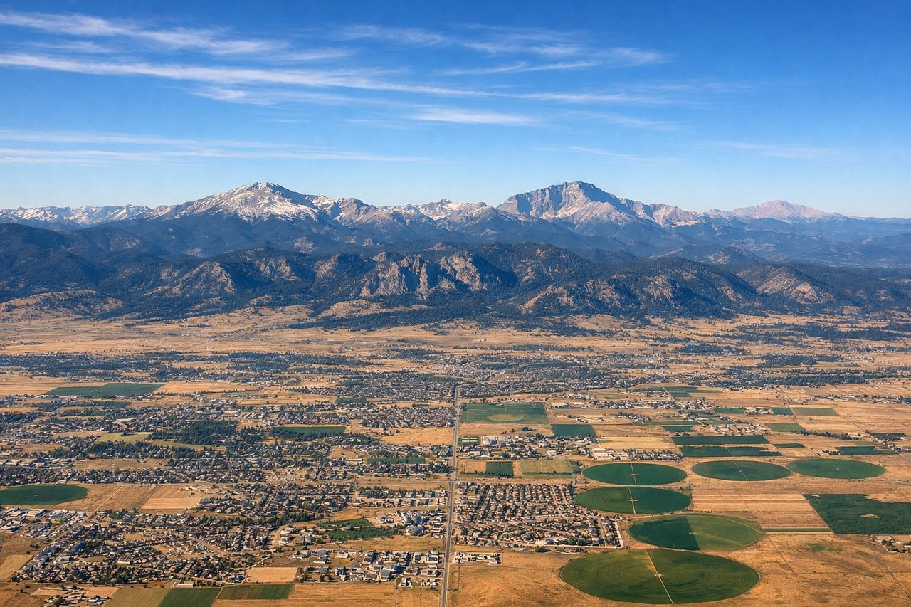
LEFTDeparting DEN westbound, the left side gives a clear view back at the Front Range of the Rockies, including the Denver foothills and peaks like Longs Peak, as the plane climbs and banks over the plains before turning west.
Landing at RNO
LEFTOn approach into Reno from the east, the left side offers views of the eastern Sierra Nevada escarpment and the high desert basins of Nevada, with the Truckee River valley visible just before touchdown.
Landmarks on this routeAll landmarks →
Will your flight be in sunlight?
Pick a date and time in the Sun Map to watch the sun move across your whole flight.
About This Route
Which side of the plane should I sit on flying from Denver International (DEN) to Reno Tahoe International (RNO)?
Sit on the Left side of the plane for the best views on flights from Denver to Reno. The left side wins for both takeoff and landing, bookending the flight with dramatic mountain scenery — the Front Range on departure and the Sierra Nevada escarpment on arrival — while the right side mostly shows featureless high desert and basin-and-range terrain for most of the route.
What can I see during takeoff from Denver International in Denver?
During takeoff from Denver International (DEN), sit on the Left side for the best views. Departing DEN westbound, the left side gives a clear view back at the Front Range of the Rockies, including the Denver foothills and peaks like Longs Peak, as the plane climbs and banks over the plains before turning west. Notable sights include: Front Range foothills, Longs Peak, Denver metro area, South Platte River valley.
What can I see when landing at Reno Tahoe International in Reno?
When landing at Reno Tahoe International (RNO), sit on the Left side for the best views. On approach into Reno from the east, the left side offers views of the eastern Sierra Nevada escarpment and the high desert basins of Nevada, with the Truckee River valley visible just before touchdown. Notable sights include: Sierra Nevada eastern escarpment, Truckee River, Peavine Peak, Reno-Sparks valley.
How long is the flight from Denver to Reno?
The flight from Denver International (DEN) to Reno Tahoe International (RNO) takes about 1 hour 55 minutes. The shortest flight path between them is 802 miles (1,291 km); winds and air traffic control usually add a few percent.
What does the Denver to Reno flight path pass over?
The route crosses the Great Basin of Nevada, including the Ruby Mountains and numerous isolated north-south trending mountain ranges separated by flat desert valleys typical of the Basin and Range Province.