The left side tracks the more dramatic terrain for most of the flight: the Gulf of Aqaba and Sinai's mountainous interior near St. Catherine, the Red Sea's Gulf of Suez coastline, and finally the Nile and Giza pyramids on the Cairo approach, giving far more variety than the right side's largely flat Arabian interior and distant Mediterranean glimpse.
Flight Path
Northern Saudi Arabian desert plateau near Ha'il and Tabuk, including the dark basalt Harrat lava fields bordering the edge of the An Nafud sand desert
Great circle distance and headings ›

.JPG?width=600)
.jpg?width=600)


Phase by phase

Takeoff from DOH
RIGHTDeparting DOH toward the northwest, the aircraft banks slightly left onto its westbound routing, putting Doha's skyline and coastline on the right side just before the city gives way to open desert.
Landing at CAI
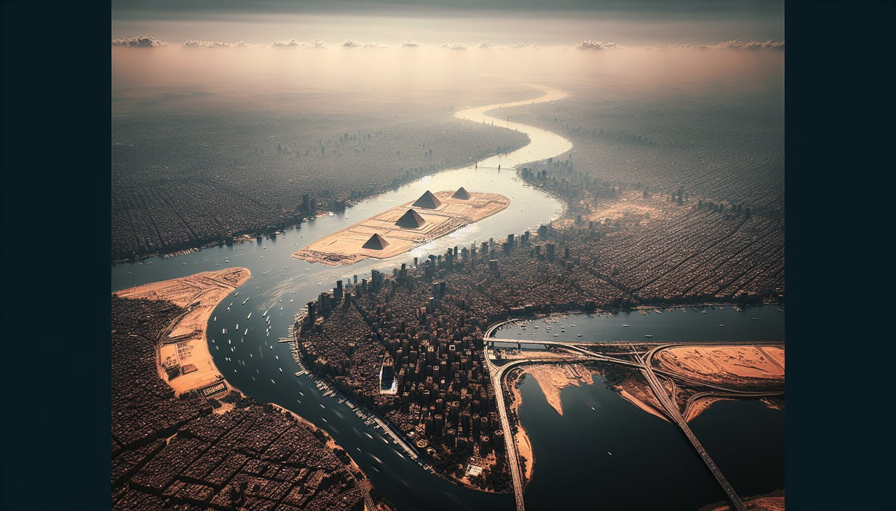
LEFTArrivals into Cairo typically loop south of the city to align with the northeast-facing runway, giving left-side passengers a clear view of the Nile winding through central Cairo with the Giza pyramid plateau visible just beyond it.
Landmarks on this routeAll landmarks →
Will your flight be in sunlight?
See exactly which side of the plane gets sun and shade at your departure time.
About This Route
Which side of the plane should I sit on flying from Hamad International Airport (DOH) to Cairo International (CAI)?
Sit on the Left side of the plane for the best views on flights from Doha to Cairo. The left side tracks the more dramatic terrain for most of the flight: the Gulf of Aqaba and Sinai's mountainous interior near St. Catherine, the Red Sea's Gulf of Suez coastline, and finally the Nile and Giza pyramids on the Cairo approach, giving far more variety than the right side's largely flat Arabian interior and distant Mediterranean glimpse.
What can I see during takeoff from Hamad International Airport in Doha?
During takeoff from Hamad International Airport (DOH), sit on the Right side for the best views. Departing DOH toward the northwest, the aircraft banks slightly left onto its westbound routing, putting Doha's skyline and coastline on the right side just before the city gives way to open desert. Notable sights include: West Bay tower skyline, The Pearl-Qatar artificial island, Doha corniche and turquoise Gulf waters, Qatari coastal sabkha flats.
What can I see when landing at Cairo International in Cairo?
When landing at Cairo International (CAI), sit on the Left side for the best views. Arrivals into Cairo typically loop south of the city to align with the northeast-facing runway, giving left-side passengers a clear view of the Nile winding through central Cairo with the Giza pyramid plateau visible just beyond it. Notable sights include: Nile River through Cairo, Giza Pyramids and plateau, Cairo cityscape and bridges, Eastern Desert escarpment.
How long is the flight from Doha to Cairo?
The flight from Hamad International Airport (DOH) to Cairo International (CAI) takes 3h 40m.
What does the Doha to Cairo flight path pass over?
Northern Saudi Arabian desert plateau near Ha'il and Tabuk, including the dark basalt Harrat lava fields bordering the edge of the An Nafud sand desert