While right offers good takeoff views of Detroit and Lake St. Clair, the left side provides superior landing scenery with Madison's distinctive two-lake geography and downtown isthmus—a more visually interesting finale to the flight.
Flown DTW to MSN? Did we get it right?
Flight Path
Detroit to Madison is 311 miles (500 km), a flight of about 1 hour 15 minutes.
The flight path crosses central Michigan and southern Wisconsin. Notable features include the transition from Michigan's lake-dotted landscape to Wisconsin's agricultural terrain, with the general path taking you over rural areas between the two metro regions. Lake Michigan remains distant to the west throughout the flight. The landscape gradually transitions from the industrial/suburban character around Detroit to increasingly rural farmland as you approach Madison.
Great circle distance and headings ›Phase by phase
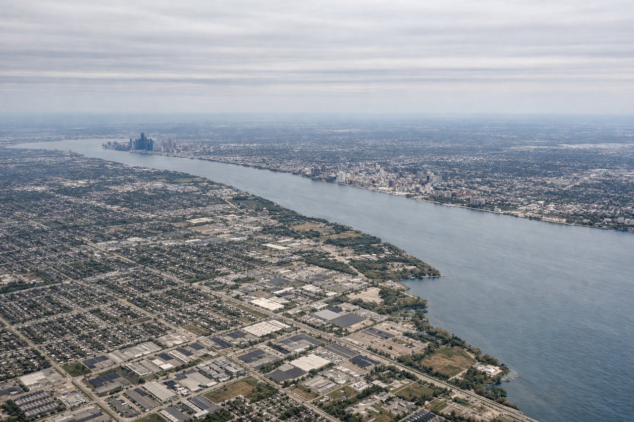
Takeoff from DTW
RIGHTRight side offers views of the Detroit metropolitan area and the western shoreline of Lake St. Clair as the aircraft climbs northwest. You'll see the urban sprawl of Detroit and its suburbs receding below, with the lake's distinctive shape becoming apparent.
Landing at MSN
LEFTLeft side provides views of the Yahara River valley and the lakes surrounding Madison (Lake Mendota and Lake Monona) during descent. These water features are distinctive and frame the city nicely as you approach from the east.
Will your flight be in sunlight?
Pick a date and time in the Sun Map to watch the sun move across your whole flight.
About This Route
Which side of the plane should I sit on flying from Detroit Metro Wayne Co (DTW) to Dane Co Rgnl Truax Fld (MSN)?
Sit on the Left side of the plane for the best views on flights from Detroit to Madison. While right offers good takeoff views of Detroit and Lake St. Clair, the left side provides superior landing scenery with Madison's distinctive two-lake geography and downtown isthmus—a more visually interesting finale to the flight.
What can I see during takeoff from Detroit Metro Wayne Co in Detroit?
During takeoff from Detroit Metro Wayne Co (DTW), sit on the Right side for the best views. Right side offers views of the Detroit metropolitan area and the western shoreline of Lake St. Clair as the aircraft climbs northwest. You'll see the urban sprawl of Detroit and its suburbs receding below, with the lake's distinctive shape becoming apparent. Notable sights include: Lake St. Clair, Detroit metropolitan area, Rouge River valley, Pontiac area to the northwest.
What can I see when landing at Dane Co Rgnl Truax Fld in Madison?
When landing at Dane Co Rgnl Truax Fld (MSN), sit on the Left side for the best views. Left side provides views of the Yahara River valley and the lakes surrounding Madison (Lake Mendota and Lake Monona) during descent. These water features are distinctive and frame the city nicely as you approach from the east. Notable sights include: Lake Mendota, Lake Monona, Yahara River, Madison downtown isthmus.
How long is the flight from Detroit to Madison?
The flight from Detroit Metro Wayne Co (DTW) to Dane Co Rgnl Truax Fld (MSN) takes about 1 hour 15 minutes. The shortest flight path between them is 311 miles (500 km); winds and air traffic control usually add a few percent.
What does the Detroit to Madison flight path pass over?
The flight path crosses central Michigan and southern Wisconsin. Notable features include the transition from Michigan's lake-dotted landscape to Wisconsin's agricultural terrain, with the general path taking you over rural areas between the two metro regions. Lake Michigan remains distant to the west throughout the flight. The landscape gradually transitions from the industrial/suburban character around Detroit to increasingly rural farmland as you approach Madison.