While Dublin's takeoff offers a nice coastal and mountain glimpse, the Rocky Mountain views on Denver's approach are far more dramatic and memorable, giving the right side the edge despite both sides sharing the same featureless mid-Atlantic and Canadian plains cruise.
Flown DUB to DEN? Did we get it right?
Flight Path
Dublin to Denver is 4,380 miles (7,049 km), a flight of about 9 hours 45 minutes.
North Atlantic Ocean, southern Greenland's coastal ice fringe (weather permitting), Labrador coastline, and the vast flat expanse of the Canadian prairies and northern U.S. Great Plains
Great circle distance and headings ›Phase by phase
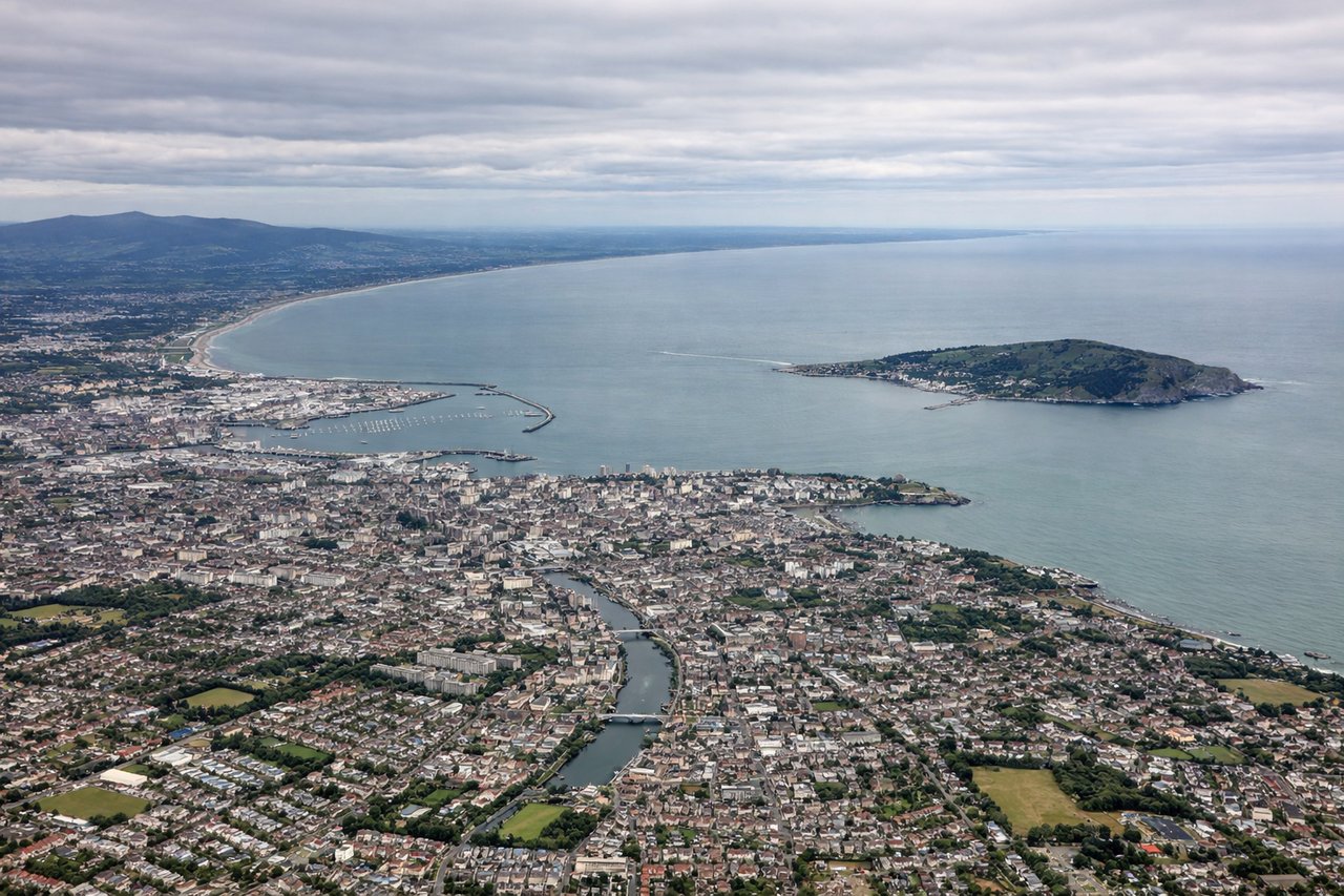
Takeoff from DUB
LEFTDeparting Dublin on runway 28 heads west, and the initial climb puts Dublin Bay, the city center, and the Wicklow Mountains on the southern (left) side of the aircraft. The right side shows mostly flat farmland toward the Irish midlands.
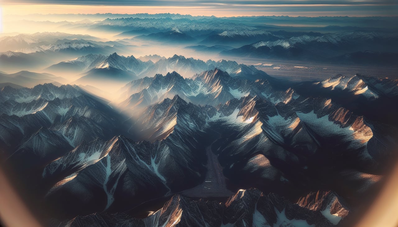
Landing at DEN
RIGHTDenver arrivals typically favor the south-facing 17-series runways, meaning the final approach faces south with the Front Range of the Rocky Mountains visible off the right side of the aircraft. The left side during descent shows only the flat eastern Colorado plains.
Will your flight be in sunlight?
Pick a date and time in the Sun Map to watch the sun move across your whole flight.
About This Route
Which side of the plane should I sit on flying from Dublin (DUB) to Denver International (DEN)?
Sit on the Right side of the plane for the best views on flights from Dublin to Denver. While Dublin's takeoff offers a nice coastal and mountain glimpse, the Rocky Mountain views on Denver's approach are far more dramatic and memorable, giving the right side the edge despite both sides sharing the same featureless mid-Atlantic and Canadian plains cruise.
What can I see during takeoff from Dublin in Dublin?
During takeoff from Dublin (DUB), sit on the Left side for the best views. Departing Dublin on runway 28 heads west, and the initial climb puts Dublin Bay, the city center, and the Wicklow Mountains on the southern (left) side of the aircraft. The right side shows mostly flat farmland toward the Irish midlands. Notable sights include: Dublin Bay, Dublin city skyline, Wicklow Mountains, River Liffey estuary.
What can I see when landing at Denver International in Denver?
When landing at Denver International (DEN), sit on the Right side for the best views. Denver arrivals typically favor the south-facing 17-series runways, meaning the final approach faces south with the Front Range of the Rocky Mountains visible off the right side of the aircraft. The left side during descent shows only the flat eastern Colorado plains. Notable sights include: Front Range of the Rocky Mountains, Longs Peak area, Denver metro skyline, South Platte River valley.
How long is the flight from Dublin to Denver?
The flight from Dublin (DUB) to Denver International (DEN) takes about 9 hours 45 minutes. The shortest flight path between them is 4,380 miles (7,049 km); winds and air traffic control usually add a few percent.
What does the Dublin to Denver flight path pass over?
North Atlantic Ocean, southern Greenland's coastal ice fringe (weather permitting), Labrador coastline, and the vast flat expanse of the Canadian prairies and northern U.S. Great Plains