While the takeoff offers interesting Buenos Aires views, the landing approach over the Weald and North Downs provides more visually distinctive and varied scenery. The patchwork farmland and chalk ridge topography are more photogenic than the flat estuary and pampas.
Flight Path
South Atlantic Ocean (no landmarks for ~8 hours), West African coast near Senegal/Mauritania (Sahara Desert edge visible), Atlas Mountains in Morocco, Iberian Peninsula (Spain/Portugal), Bay of Biscay, English Channel approach
Great circle distance and headings ›_(cropped).jpg?width=600)

.jpeg?width=600)
Phase by phase

Takeoff from EZE
LEFTLeft seats face northwest over the Río de la Plata estuary and the Buenos Aires metropolitan area during initial climb. You'll see the wide brown waters of the estuary, the city grid spreading inland, and the flat pampas extending to the horizon.
Landing at LGW
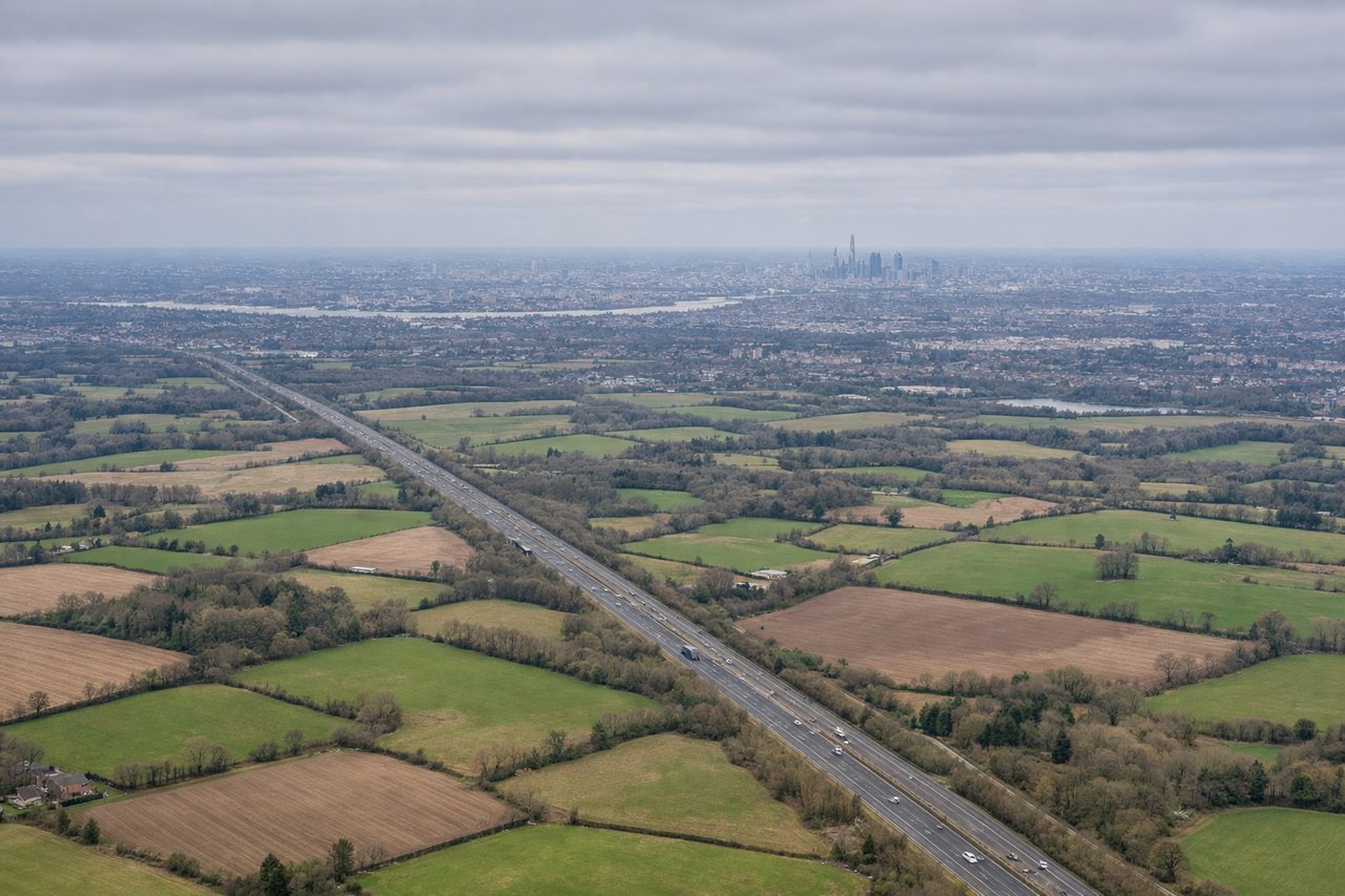
RIGHTRight seats face south and southwest during approach to Gatwick. You'll see the North Downs ridge, the Weald's patchwork farmland, and the approach path over Surrey's green belt before touchdown.
Landmarks on this routeAll landmarks →
Will your flight be in sunlight?
See exactly which side of the plane gets sun and shade at your departure time.
About This Route
Which side of the plane should I sit on flying from Ezeiza Ministro Pistarini (EZE) to Gatwick (LGW)?
Sit on the Right side of the plane for the best views on flights from Buenos Aires to London. While the takeoff offers interesting Buenos Aires views, the landing approach over the Weald and North Downs provides more visually distinctive and varied scenery. The patchwork farmland and chalk ridge topography are more photogenic than the flat estuary and pampas.
What can I see during takeoff from Ezeiza Ministro Pistarini in Buenos Aires?
During takeoff from Ezeiza Ministro Pistarini (EZE), sit on the Left side for the best views. Left seats face northwest over the Río de la Plata estuary and the Buenos Aires metropolitan area during initial climb. You'll see the wide brown waters of the estuary, the city grid spreading inland, and the flat pampas extending to the horizon. Notable sights include: Río de la Plata estuary, Buenos Aires city center and suburbs, Paraná River delta to the north, flat Argentine pampas.
What can I see when landing at Gatwick in London?
When landing at Gatwick (LGW), sit on the Right side for the best views. Right seats face south and southwest during approach to Gatwick. You'll see the North Downs ridge, the Weald's patchwork farmland, and the approach path over Surrey's green belt before touchdown. Notable sights include: North Downs chalk ridge, Weald agricultural landscape, Surrey towns and villages, English Channel coast (distant).
How long is the flight from Buenos Aires to London?
The flight from Ezeiza Ministro Pistarini (EZE) to Gatwick (LGW) takes 12h 15m.
What does the Buenos Aires to London flight path pass over?
South Atlantic Ocean (no landmarks for ~8 hours), West African coast near Senegal/Mauritania (Sahara Desert edge visible), Atlas Mountains in Morocco, Iberian Peninsula (Spain/Portugal), Bay of Biscay, English Channel approach