While the takeoff offers excellent coastal and mountain views, the landing approach into DCA provides more dramatic and recognizable scenery: the Potomac River's distinctive curves, the nation's capital landmarks, and the Appalachian foothills create a more visually rewarding final descent than the midpoint ocean crossing.
Flight Path
Over the Atlantic Ocean, the flight path crosses the Mid-Atlantic Ridge region (not visible at altitude). Approaching North America, passengers may see the Appalachian Mountain chain's northern ridges, the Great Lakes region (depending on routing), and the Ohio River valley. If routed via a northern corridor, the Canadian Shield and Hudson Bay region are possible. The eastern seaboard's coastal features become visible during descent into the Washington D.C. area, including the Chesapeake Bay and its tributaries.
Great circle distance and headings ›


.jpeg?width=600)
Phase by phase
Takeoff from GOI
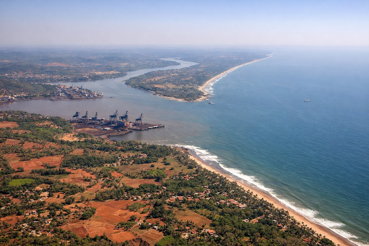
LEFTLeft side offers views of the Arabian Sea coastline and Goa's beach landscape during initial climb. The aircraft departs westward over water before turning north, giving left-seat passengers clear sightlines of the coastal terrain and the Western Ghats escarpment rising inland.
Landing at DCA
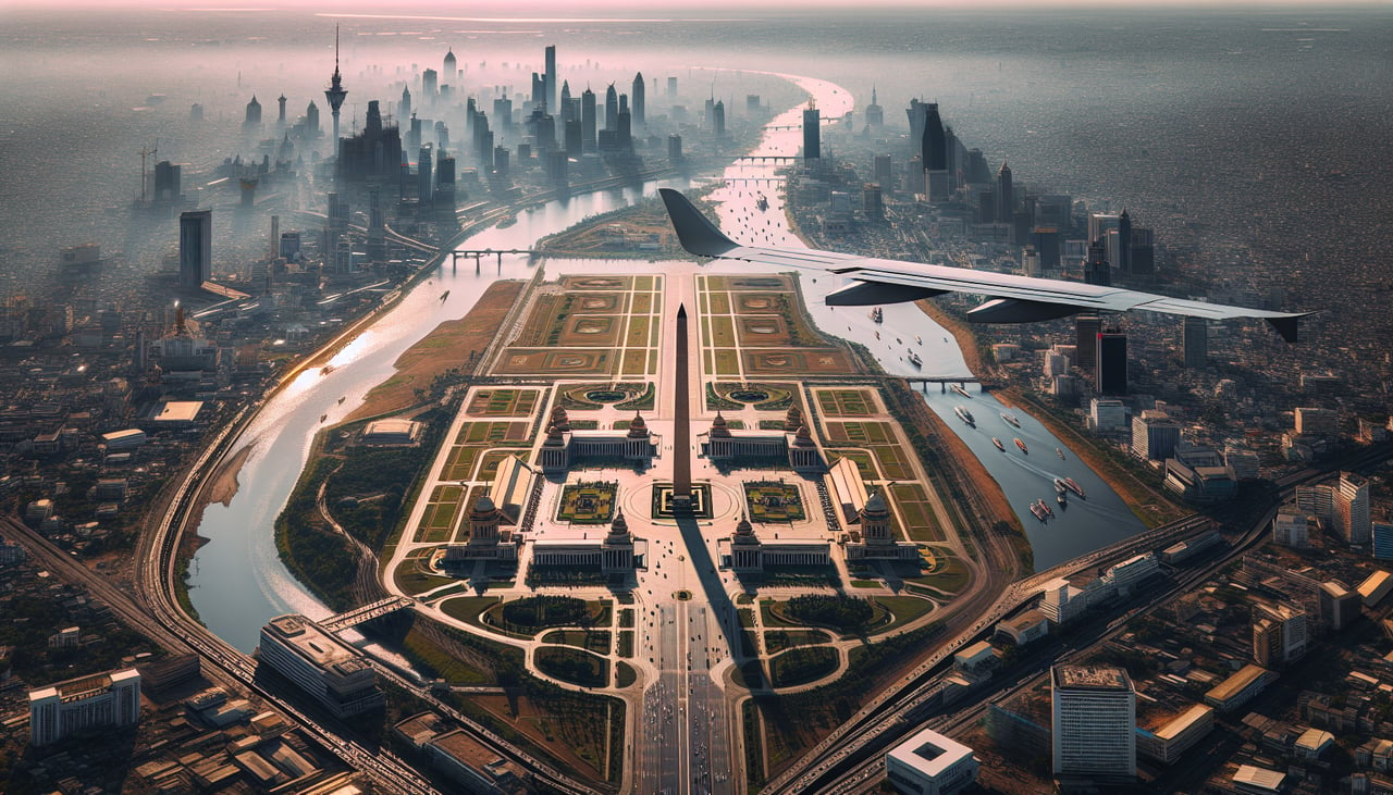
RIGHTRight side provides views of the Potomac River, the Appalachian foothills, and Washington D.C.'s urban landscape during descent into DCA. The aircraft approaches from the west, and right-seat passengers see the river's distinctive curves and the city's monuments and federal buildings spread across the terrain.
Landmarks on this routeAll landmarks →
Will your flight be in sunlight?
See exactly which side of the plane gets sun and shade at your departure time.
About This Route
Which side of the plane should I sit on flying from Goa Dabolim International Airport (GOI) to Ronald Reagan Washington National (DCA)?
Sit on the Right side of the plane for the best views on flights from Goa to Washington. While the takeoff offers excellent coastal and mountain views, the landing approach into DCA provides more dramatic and recognizable scenery: the Potomac River's distinctive curves, the nation's capital landmarks, and the Appalachian foothills create a more visually rewarding final descent than the midpoint ocean crossing.
What can I see during takeoff from Goa Dabolim International Airport in Goa?
During takeoff from Goa Dabolim International Airport (GOI), sit on the Left side for the best views. Left side offers views of the Arabian Sea coastline and Goa's beach landscape during initial climb. The aircraft departs westward over water before turning north, giving left-seat passengers clear sightlines of the coastal terrain and the Western Ghats escarpment rising inland. Notable sights include: Arabian Sea, Goa's coastal plains, Western Ghats mountain range, Mandovi River estuary.
What can I see when landing at Ronald Reagan Washington National in Washington?
When landing at Ronald Reagan Washington National (DCA), sit on the Right side for the best views. Right side provides views of the Potomac River, the Appalachian foothills, and Washington D.C.'s urban landscape during descent into DCA. The aircraft approaches from the west, and right-seat passengers see the river's distinctive curves and the city's monuments and federal buildings spread across the terrain. Notable sights include: Potomac River, Appalachian Mountains (Blue Ridge foothills), Washington D.C. downtown district, Arlington and Alexandria urban areas.
How long is the flight from Goa to Washington?
The flight from Goa Dabolim International Airport (GOI) to Ronald Reagan Washington National (DCA) takes Approximately 16-17 hours with one or two stops (this route typically requires a connection via Middle East or European hub; direct service is not available).
What does the Goa to Washington flight path pass over?
Over the Atlantic Ocean, the flight path crosses the Mid-Atlantic Ridge region (not visible at altitude). Approaching North America, passengers may see the Appalachian Mountain chain's northern ridges, the Great Lakes region (depending on routing), and the Ohio River valley. If routed via a northern corridor, the Canadian Shield and Hudson Bay region are possible. The eastern seaboard's coastal features become visible during descent into the Washington D.C. area, including the Chesapeake Bay and its tributaries.