The takeoff from Goa offers more dramatic and immediately striking scenery—the Arabian Sea and Western Ghats escarpment are visually distinctive and geographically significant. While the Washington Dulles approach provides good Appalachian views, the Goa departure has stronger visual impact.
Flight Path
The flight path crosses the Middle East (Persian Gulf region visible on left side during westbound cruise), then over Turkey and Eastern Europe. Notable features include the Zagros Mountains in Iran, the Caucasus range, and the Alps or Carpathians depending on exact routing. Over the Atlantic, you may see Greenland's ice sheet on the left (north) side during the transatlantic portion, and the Canadian Maritime provinces approaching North America.
Great circle distance and headings ›


.jpeg?width=600)
Phase by phase
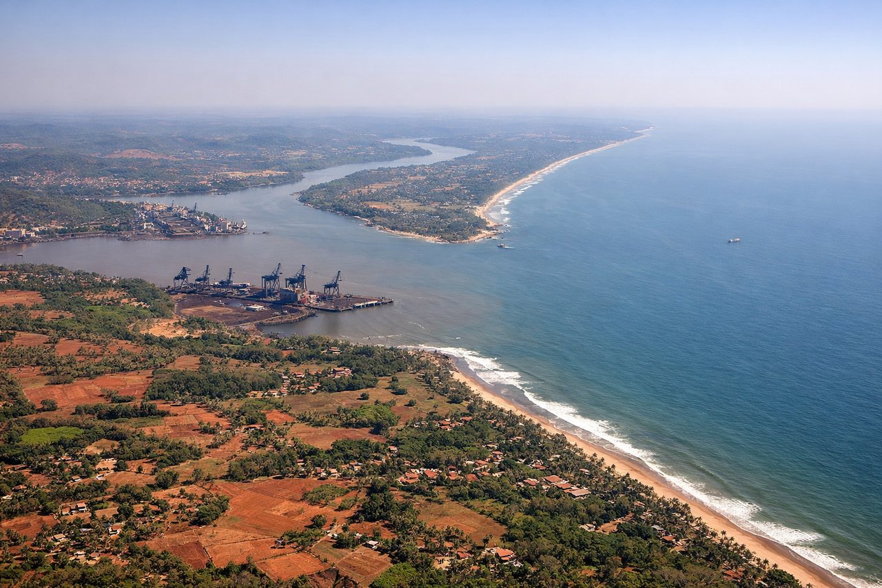
Takeoff from GOI
LEFTLeft side captures the Arabian Sea coastline and the Western Ghats escarpment as you climb out westward from Goa. The sea provides immediate visual contrast, and the mountain range's steep western face is distinctive from altitude.

Landing at IAD
RIGHTRight side offers views of the Appalachian Mountains and the Piedmont region as you descend into Washington Dulles from the west. The terrain transitions from forested ridges to suburban sprawl, providing clear geographic context for the approach.
Landmarks on this routeAll landmarks →
Will your flight be in sunlight?
See exactly which side of the plane gets sun and shade at your departure time.
About This Route
Which side of the plane should I sit on flying from Goa Dabolim International Airport (GOI) to Washington Dulles International (IAD)?
Sit on the Left side of the plane for the best views on flights from Goa to Washington. The takeoff from Goa offers more dramatic and immediately striking scenery—the Arabian Sea and Western Ghats escarpment are visually distinctive and geographically significant. While the Washington Dulles approach provides good Appalachian views, the Goa departure has stronger visual impact.
What can I see during takeoff from Goa Dabolim International Airport in Goa?
During takeoff from Goa Dabolim International Airport (GOI), sit on the Left side for the best views. Left side captures the Arabian Sea coastline and the Western Ghats escarpment as you climb out westward from Goa. The sea provides immediate visual contrast, and the mountain range's steep western face is distinctive from altitude. Notable sights include: Arabian Sea, Western Ghats mountain range, Goa's coastal plain, Mormugao Harbor.
What can I see when landing at Washington Dulles International in Washington?
When landing at Washington Dulles International (IAD), sit on the Right side for the best views. Right side offers views of the Appalachian Mountains and the Piedmont region as you descend into Washington Dulles from the west. The terrain transitions from forested ridges to suburban sprawl, providing clear geographic context for the approach. Notable sights include: Blue Ridge Mountains, Shenandoah Valley, Piedmont plateau, Northern Virginia suburban development.
How long is the flight from Goa to Washington?
The flight from Goa Dabolim International Airport (GOI) to Washington Dulles International (IAD) takes 15h 30m.
What does the Goa to Washington flight path pass over?
The flight path crosses the Middle East (Persian Gulf region visible on left side during westbound cruise), then over Turkey and Eastern Europe. Notable features include the Zagros Mountains in Iran, the Caucasus range, and the Alps or Carpathians depending on exact routing. Over the Atlantic, you may see Greenland's ice sheet on the left (north) side during the transatlantic portion, and the Canadian Maritime provinces approaching North America.