Right-side seats capture the most dramatic geography: the Serra da Cantareira and São Paulo basin during departure, then the transition across the Brazilian plateau, and finally the Río Grande and cerrado landscape during approach. Left seats miss the northern mountains at takeoff.
Flown GRU to VVI? Did we get it right?
Flight Path
Sao Paulo to Santa Cruz is 1,149 miles (1,849 km), a flight of about 3 hours.
The flight path crosses the Brazilian plateau (Planalto Paulista) heading west-southwest. Notable features include the Paraná River valley (visible around 1 hour into flight, marking the São Paulo-Paraná border), scattered cerrado vegetation and agricultural zones in Mato Grosso do Sul, and the gradual transition from subtropical forest remnants to open grassland savanna as the aircraft approaches Bolivia. The terrain becomes progressively flatter and more open westward. No major mountain ranges block this route—the Serra da Mantiqueira and Serra Geral remain to the south and east of the flight path.
Great circle distance and headings ›Phase by phase

Takeoff from GRU
RIGHTGRU typically departs on runway 27L or 27R (westbound). Right-side seats face north during initial climb, offering views of the Serra da Cantareira and the sprawling São Paulo metropolitan area before turning southwest toward Bolivia.
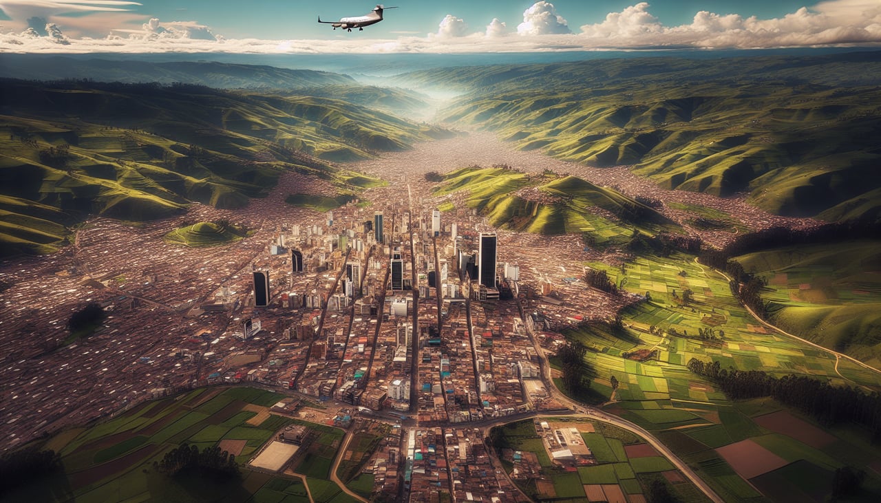
Landing at VVI
LEFTVVI uses runway 02/20; approaches typically come from the east. Left-side seats during descent face south and southwest, revealing the Río Grande (Paraguay River) and the transition from cerrado grasslands into Santa Cruz's agricultural zones and urban development.
Will your flight be in sunlight?
Pick a date and time in the Sun Map to watch the sun move across your whole flight.
About This Route
Which side of the plane should I sit on flying from Guarulhos (GRU) to Viru Viru International (VVI)?
Sit on the Right side of the plane for the best views on flights from Sao Paulo to Santa Cruz. Right-side seats capture the most dramatic geography: the Serra da Cantareira and São Paulo basin during departure, then the transition across the Brazilian plateau, and finally the Río Grande and cerrado landscape during approach. Left seats miss the northern mountains at takeoff.
What can I see during takeoff from Guarulhos in Sao Paulo?
During takeoff from Guarulhos (GRU), sit on the Right side for the best views. GRU typically departs on runway 27L or 27R (westbound). Right-side seats face north during initial climb, offering views of the Serra da Cantareira and the sprawling São Paulo metropolitan area before turning southwest toward Bolivia. Notable sights include: Serra da Cantareira (northern mountain range), Tietê River valley, São Paulo urban sprawl extending north and east, Guarulhos city grid.
What can I see when landing at Viru Viru International in Santa Cruz?
When landing at Viru Viru International (VVI), sit on the Left side for the best views. VVI uses runway 02/20; approaches typically come from the east. Left-side seats during descent face south and southwest, revealing the Río Grande (Paraguay River) and the transition from cerrado grasslands into Santa Cruz's agricultural zones and urban development. Notable sights include: Río Grande (Paraguay River) defining Bolivia-Paraguay border, cerrado savanna landscape with scattered vegetation, Santa Cruz city sprawl, agricultural grid patterns of soy and cattle ranches.
How long is the flight from Sao Paulo to Santa Cruz?
The flight from Guarulhos (GRU) to Viru Viru International (VVI) takes about 3 hours. The shortest flight path between them is 1,149 miles (1,849 km); winds and air traffic control usually add a few percent.
What does the Sao Paulo to Santa Cruz flight path pass over?
The flight path crosses the Brazilian plateau (Planalto Paulista) heading west-southwest. Notable features include the Paraná River valley (visible around 1 hour into flight, marking the São Paulo-Paraná border), scattered cerrado vegetation and agricultural zones in Mato Grosso do Sul, and the gradual transition from subtropical forest remnants to open grassland savanna as the aircraft approaches Bolivia. The terrain becomes progressively flatter and more open westward. No major mountain ranges block this route—the Serra da Mantiqueira and Serra Geral remain to the south and east of the flight path.