The left side bookends the long Pacific crossing with the two best views available on this route: Oahu's south shore and Diamond Head at departure, and Mount Fuji rising over Tokyo Bay on arrival. The right side offers comparatively flat coastal and bay scenery at both ends.
Flight Path
Open North Pacific Ocean with no land visible; the great-circle track bows up toward roughly 34-35°N near the International Date Line, well north of the Marshall and Marianas island chains, over deep water for most of the crossing
Great circle distance and headings ›


Phase by phase
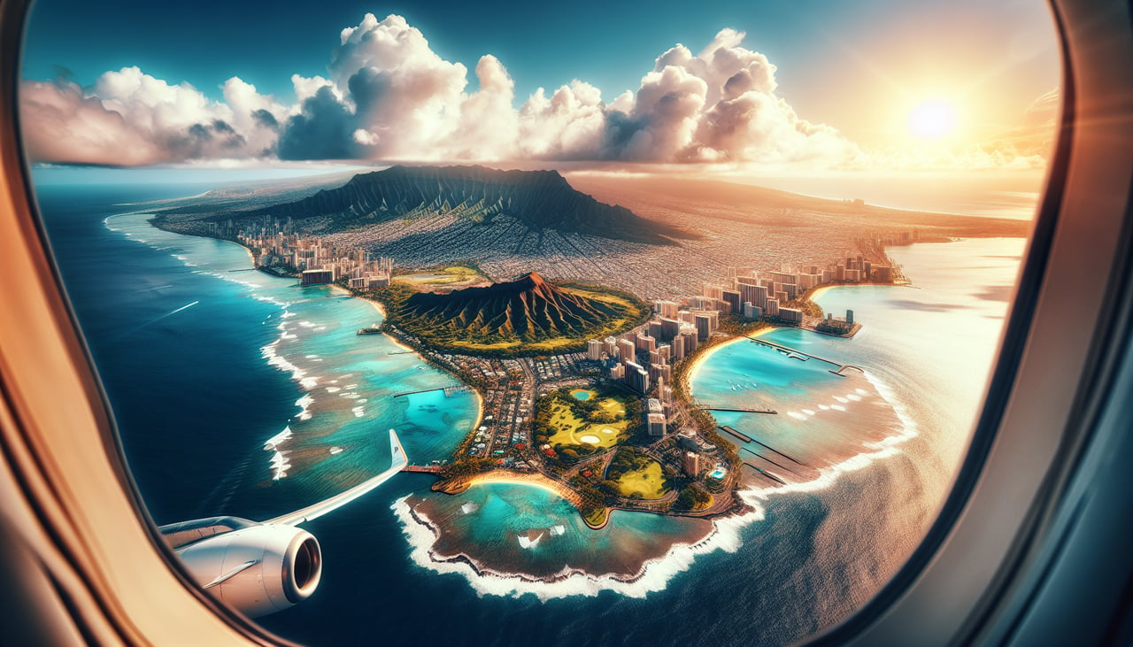
Takeoff from HNL
LEFTDepartures off HNL's Reef Runway head out over the south shore before curving northwest onto the Japan track, and that turn sweeps Diamond Head, Waikiki, and downtown Honolulu across the left side of the aircraft. The right side mostly shows open ocean and Pearl Harbor's inlets fading behind.
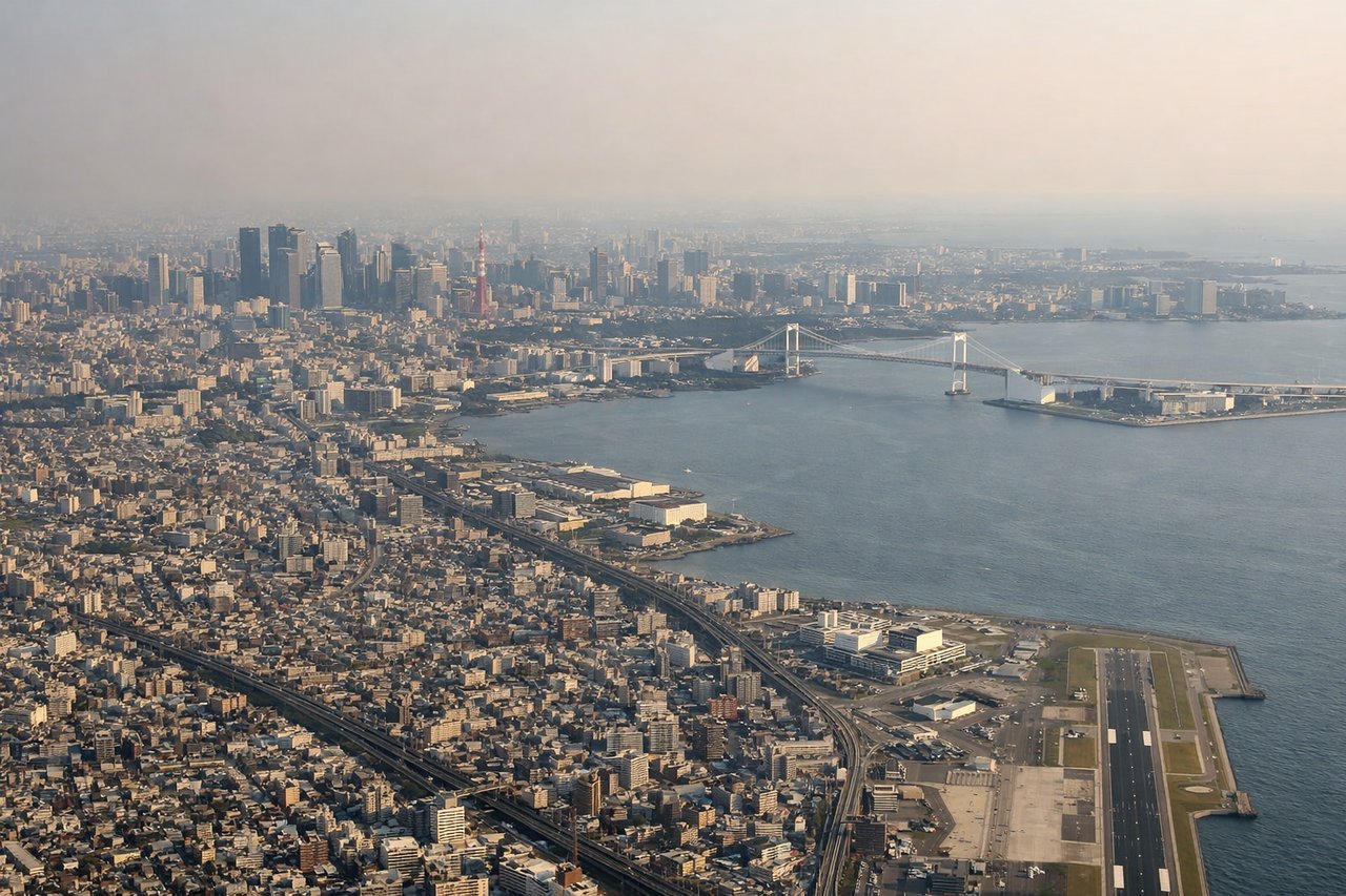
Landing at HND
LEFTOn the common south-wind arrival into Haneda, aircraft track north up Tokyo Bay to land on 34L/34R, and Mount Fuji's snow-capped cone sits off to the west on the left side during this final approach. The right side instead faces the flatter Chiba shoreline and bay industrial areas.
Landmarks on this routeAll landmarks →
Will your flight be in sunlight?
See exactly which side of the plane gets sun and shade at your departure time.
About This Route
Which side of the plane should I sit on flying from Honolulu International (HNL) to Tokyo International (HND)?
Sit on the Left side of the plane for the best views on flights from Honolulu to Tokyo. The left side bookends the long Pacific crossing with the two best views available on this route: Oahu's south shore and Diamond Head at departure, and Mount Fuji rising over Tokyo Bay on arrival. The right side offers comparatively flat coastal and bay scenery at both ends.
What can I see during takeoff from Honolulu International in Honolulu?
During takeoff from Honolulu International (HNL), sit on the Left side for the best views. Departures off HNL's Reef Runway head out over the south shore before curving northwest onto the Japan track, and that turn sweeps Diamond Head, Waikiki, and downtown Honolulu across the left side of the aircraft. The right side mostly shows open ocean and Pearl Harbor's inlets fading behind. Notable sights include: Diamond Head crater, Waikiki Beach and hotel skyline, downtown Honolulu, Ko'olau mountain ridgeline.
What can I see when landing at Tokyo International in Tokyo?
When landing at Tokyo International (HND), sit on the Left side for the best views. On the common south-wind arrival into Haneda, aircraft track north up Tokyo Bay to land on 34L/34R, and Mount Fuji's snow-capped cone sits off to the west on the left side during this final approach. The right side instead faces the flatter Chiba shoreline and bay industrial areas. Notable sights include: Mount Fuji, Miura Peninsula, Tokyo Bay shoreline, Yokohama coastline.
How long is the flight from Honolulu to Tokyo?
The flight from Honolulu International (HNL) to Tokyo International (HND) takes 8h 20m.
What does the Honolulu to Tokyo flight path pass over?
Open North Pacific Ocean with no land visible; the great-circle track bows up toward roughly 34-35°N near the International Date Line, well north of the Marshall and Marianas island chains, over deep water for most of the crossing