While takeoff from Indianapolis favors the right, the landing approach into Seattle from the left provides views of Mount Rainier and the Cascade Range—the most visually dramatic geography on this entire route. The mountain scenery outweighs the takeoff advantage.
Flown IND to BFI? Did we get it right?
Flight Path
Indianapolis to Seattle is 1,861 miles (2,995 km), a flight of about 4 hours 15 minutes.
The flight path crosses the High Plains of Wyoming and Montana, passing east of the Bighorn Mountains and north of the Wind River Range. Around the midpoint near southern Montana, the Rocky Mountain front becomes visible on the left (north) side of the aircraft. The Columbia River basin and Blue Mountains of Oregon appear in the final descent phase before entering the Cascade approach corridor into Seattle.
Great circle distance and headings ›

Phase by phase
Takeoff from IND
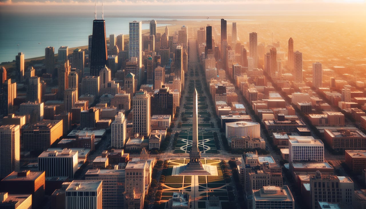
RIGHTRight side offers views of downtown Indianapolis and the White River valley as you climb northwest. Left side faces industrial areas and suburban sprawl with less geographic interest.
Landing at BFI
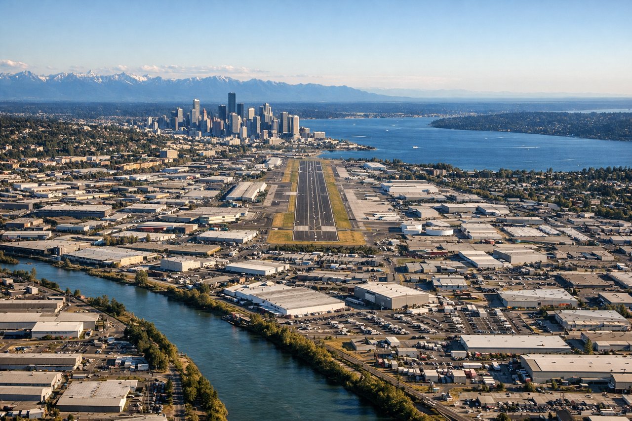
LEFTLeft side provides excellent views of the Cascade Range and Mount Rainier during descent into Seattle. Right side faces Puget Sound but lacks the dramatic mountain backdrop that makes this route visually distinctive.
Will your flight be in sunlight?
Pick a date and time in the Sun Map to watch the sun move across your whole flight.
About This Route
Which side of the plane should I sit on flying from Indianapolis International (IND) to Boeing Fld King Co International (BFI)?
Sit on the Left side of the plane for the best views on flights from Indianapolis to Seattle. While takeoff from Indianapolis favors the right, the landing approach into Seattle from the left provides views of Mount Rainier and the Cascade Range—the most visually dramatic geography on this entire route. The mountain scenery outweighs the takeoff advantage.
What can I see during takeoff from Indianapolis International in Indianapolis?
During takeoff from Indianapolis International (IND), sit on the Right side for the best views. Right side offers views of downtown Indianapolis and the White River valley as you climb northwest. Left side faces industrial areas and suburban sprawl with less geographic interest. Notable sights include: Downtown Indianapolis skyline, White River winding through the city, Indianapolis Motor Speedway (visible as oval structure 5 miles west), suburban grid extending toward the horizon.
What can I see when landing at Boeing Fld King Co International in Seattle?
When landing at Boeing Fld King Co International (BFI), sit on the Left side for the best views. Left side provides excellent views of the Cascade Range and Mount Rainier during descent into Seattle. Right side faces Puget Sound but lacks the dramatic mountain backdrop that makes this route visually distinctive. Notable sights include: Mount Rainier (dominant peak on the horizon), Cascade Range ridgeline, Puget Sound waters, Seattle-Tacoma urban area sprawl.
How long is the flight from Indianapolis to Seattle?
The flight from Indianapolis International (IND) to Boeing Fld King Co International (BFI) takes about 4 hours 15 minutes. The shortest flight path between them is 1,861 miles (2,995 km); winds and air traffic control usually add a few percent.
What does the Indianapolis to Seattle flight path pass over?
The flight path crosses the High Plains of Wyoming and Montana, passing east of the Bighorn Mountains and north of the Wind River Range. Around the midpoint near southern Montana, the Rocky Mountain front becomes visible on the left (north) side of the aircraft. The Columbia River basin and Blue Mountains of Oregon appear in the final descent phase before entering the Cascade approach corridor into Seattle.