The left side wins on both ends of the flight: the Bosphorus and Istanbul cityscape at departure, and the greener, more textured Kent/Sussex countryside on approach into Gatwick, compared to the flatter, less distinctive northern views on the right.
Flown IST to LGW? Did we get it right?
Flight Path
Istanbul to London is 1,528 miles (2,460 km), a flight of about 4 hours 5 minutes.
Balkan uplands including the Rhodope and Carpathian foothills, the Danube river plain across Serbia and Hungary, and the flat agricultural expanses of central Europe before crossing into northern France and the English Channel
Great circle distance and headings ›


Phase by phase
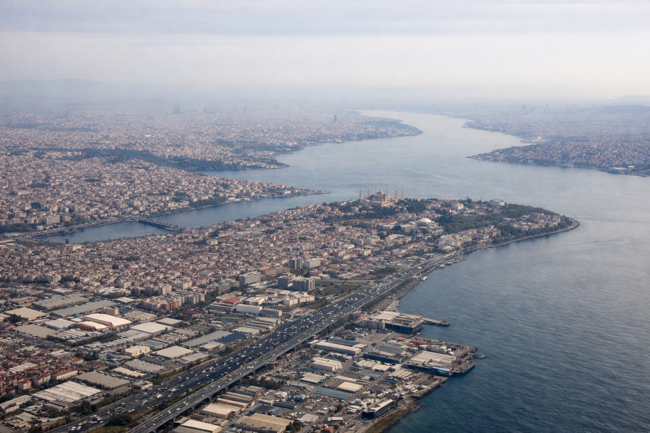
Takeoff from IST
LEFTDeparting IST toward the northwest, the initial turn puts the left side facing south toward the city, giving passengers a sweeping view of the Bosphorus strait, the Sea of Marmara, and Istanbul's dense urban sprawl before the aircraft climbs away from the coast.
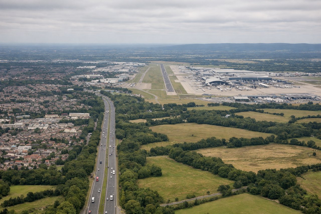
Landing at LGW
LEFTOn a typical westerly approach into LGW (runway 26), the descent path crosses Kent and Sussex, and the left side faces south toward the rolling North Downs and glimpses of the English Channel coastline near Brighton before the final turn onto the runway.
Will your flight be in sunlight?
Pick a date and time in the Sun Map to watch the sun move across your whole flight.
About This Route
Which side of the plane should I sit on flying from İstanbul Airport (IST) to Gatwick (LGW)?
Sit on the Left side of the plane for the best views on flights from Istanbul to London. The left side wins on both ends of the flight: the Bosphorus and Istanbul cityscape at departure, and the greener, more textured Kent/Sussex countryside on approach into Gatwick, compared to the flatter, less distinctive northern views on the right.
What can I see during takeoff from İstanbul Airport in Istanbul?
During takeoff from İstanbul Airport (IST), sit on the Left side for the best views. Departing IST toward the northwest, the initial turn puts the left side facing south toward the city, giving passengers a sweeping view of the Bosphorus strait, the Sea of Marmara, and Istanbul's dense urban sprawl before the aircraft climbs away from the coast. Notable sights include: Bosphorus Strait, Sea of Marmara, Istanbul skyline, Princes' Islands.
What can I see when landing at Gatwick in London?
When landing at Gatwick (LGW), sit on the Left side for the best views. On a typical westerly approach into LGW (runway 26), the descent path crosses Kent and Sussex, and the left side faces south toward the rolling North Downs and glimpses of the English Channel coastline near Brighton before the final turn onto the runway. Notable sights include: North Downs and Weald countryside, patchwork farmland, distant English Channel coastline, River Mole valley.
How long is the flight from Istanbul to London?
The flight from İstanbul Airport (IST) to Gatwick (LGW) takes about 4 hours 5 minutes. The shortest flight path between them is 1,528 miles (2,460 km); winds and air traffic control usually add a few percent.
What does the Istanbul to London flight path pass over?
Balkan uplands including the Rhodope and Carpathian foothills, the Danube river plain across Serbia and Hungary, and the flat agricultural expanses of central Europe before crossing into northern France and the English Channel