Jorhat to Calcutta is 457 miles (735 km), a flight of about 1 hour 15 minutes.
Right-seat passengers gain the most consistent geographic interest: the Brahmaputra valley on departure, then the Ganges delta and Hooghly River on approach. Left-seat passengers see good delta views but miss the dramatic river departure.
Flight Path
The flight path crosses central Assam and then enters West Bengal. Notable midpoint features include the Assam-Meghalaya border region (Khasi Hills visible to the south around 25.5°N), the transition from Brahmaputra valley to the Ganges plain, and the Rajmahal Hills (low, ancient range visible to the south around 24.5°N). The landscape shifts from tea gardens and river valleys to agricultural plains and then to the delta's wetland complexity.
Great circle distance and headings ›Phase by phase
Takeoff from JRH
RIGHTJorhat typically operates on runway 03/21. Departing eastbound (runway 03) gives right-seat passengers views of the Brahmaputra River valley and the Assam plains stretching toward Bangladesh. Westbound departures (runway 21) offer less distinctive terrain.
Landing at CCU
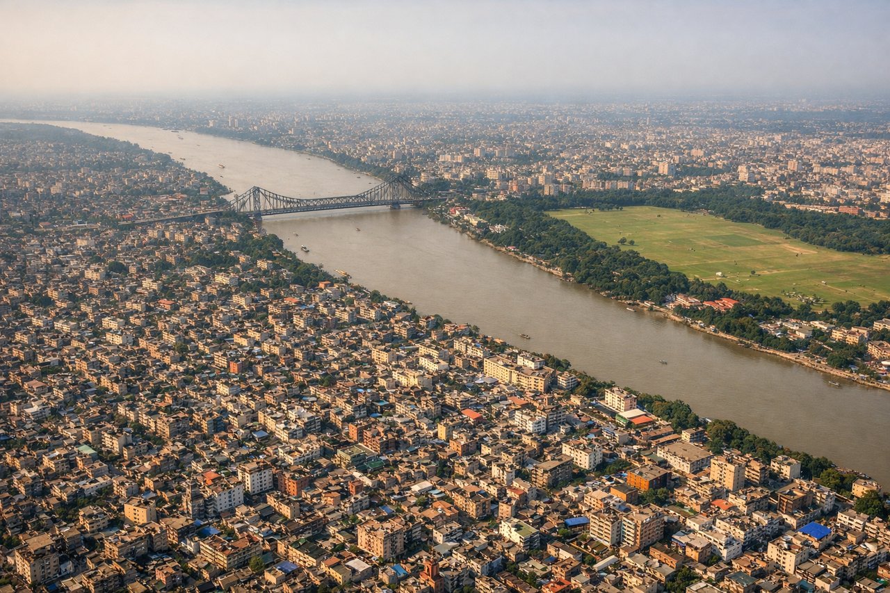
LEFTApproaching Kolkata from the northeast (typical arrival routing), left-seat passengers see the Hooghly River, the Ganges delta wetlands, and the city's eastern sprawl. The descent path over the delta provides extended views of this geographically distinctive region.
Landmarks on this routeAll landmarks →
Will your flight be in sunlight?
Pick a date and time in the Sun Map to watch the sun move across your whole flight.
About This Route
Which side of the plane should I sit on flying from Jorhat (JRH) to Netaji Subhash Chandra Bose International (CCU)?
Sit on the Right side of the plane for the best views on flights from Jorhat to Calcutta. Right-seat passengers gain the most consistent geographic interest: the Brahmaputra valley on departure, then the Ganges delta and Hooghly River on approach. Left-seat passengers see good delta views but miss the dramatic river departure.
What can I see during takeoff from Jorhat in Jorhat?
During takeoff from Jorhat (JRH), sit on the Right side for the best views. Jorhat typically operates on runway 03/21. Departing eastbound (runway 03) gives right-seat passengers views of the Brahmaputra River valley and the Assam plains stretching toward Bangladesh. Westbound departures (runway 21) offer less distinctive terrain. Notable sights include: Brahmaputra River (wide, meandering, clearly visible below), Assam tea gardens (patchwork of cultivated fields), Nagaland hills (distant eastern horizon), Mikir Hills (southern ridgeline).
What can I see when landing at Netaji Subhash Chandra Bose International in Calcutta?
When landing at Netaji Subhash Chandra Bose International (CCU), sit on the Left side for the best views. Approaching Kolkata from the northeast (typical arrival routing), left-seat passengers see the Hooghly River, the Ganges delta wetlands, and the city's eastern sprawl. The descent path over the delta provides extended views of this geographically distinctive region. Notable sights include: Hooghly River (major waterway through Kolkata), Ganges delta wetlands (intricate water channels and islands), Sundarbans mangrove forests (southern horizon, dark green), Kolkata urban sprawl (eastern districts).
How long is the flight from Jorhat to Calcutta?
The flight from Jorhat (JRH) to Netaji Subhash Chandra Bose International (CCU) takes about 1 hour 15 minutes. The shortest flight path between them is 457 miles (735 km); winds and air traffic control usually add a few percent.
What does the Jorhat to Calcutta flight path pass over?
The flight path crosses central Assam and then enters West Bengal. Notable midpoint features include the Assam-Meghalaya border region (Khasi Hills visible to the south around 25.5°N), the transition from Brahmaputra valley to the Ganges plain, and the Rajmahal Hills (low, ancient range visible to the south around 24.5°N). The landscape shifts from tea gardens and river valleys to agricultural plains and then to the delta's wetland complexity.