Takeoff views of Iceland's volcanic landscape are more visually distinctive and geographically dramatic than landing views of a Midwestern city. The Reykjanes Peninsula's lava fields and geothermal features provide unique aerial perspective unavailable on most routes.
Flight Path
Keflavik to Minneapolis is 2,936 miles (4,726 km), a flight of about 6 hours.
The flight path crosses the North Atlantic at high altitude (typically FL350-FL380). Midpoint features include the Denmark Strait (between Greenland and Iceland, visible if routing permits), Greenland's ice sheet edge (if track passes west), and the Canadian Arctic archipelago's islands (if northern routing). Most of the transatlantic crossing offers open ocean with occasional cloud formations. As the flight approaches North America, the Canadian Shield's lakes and boreal forest become visible, followed by the Great Lakes region before descent into Minnesota.
Great circle distance and headings ›Phase by phase
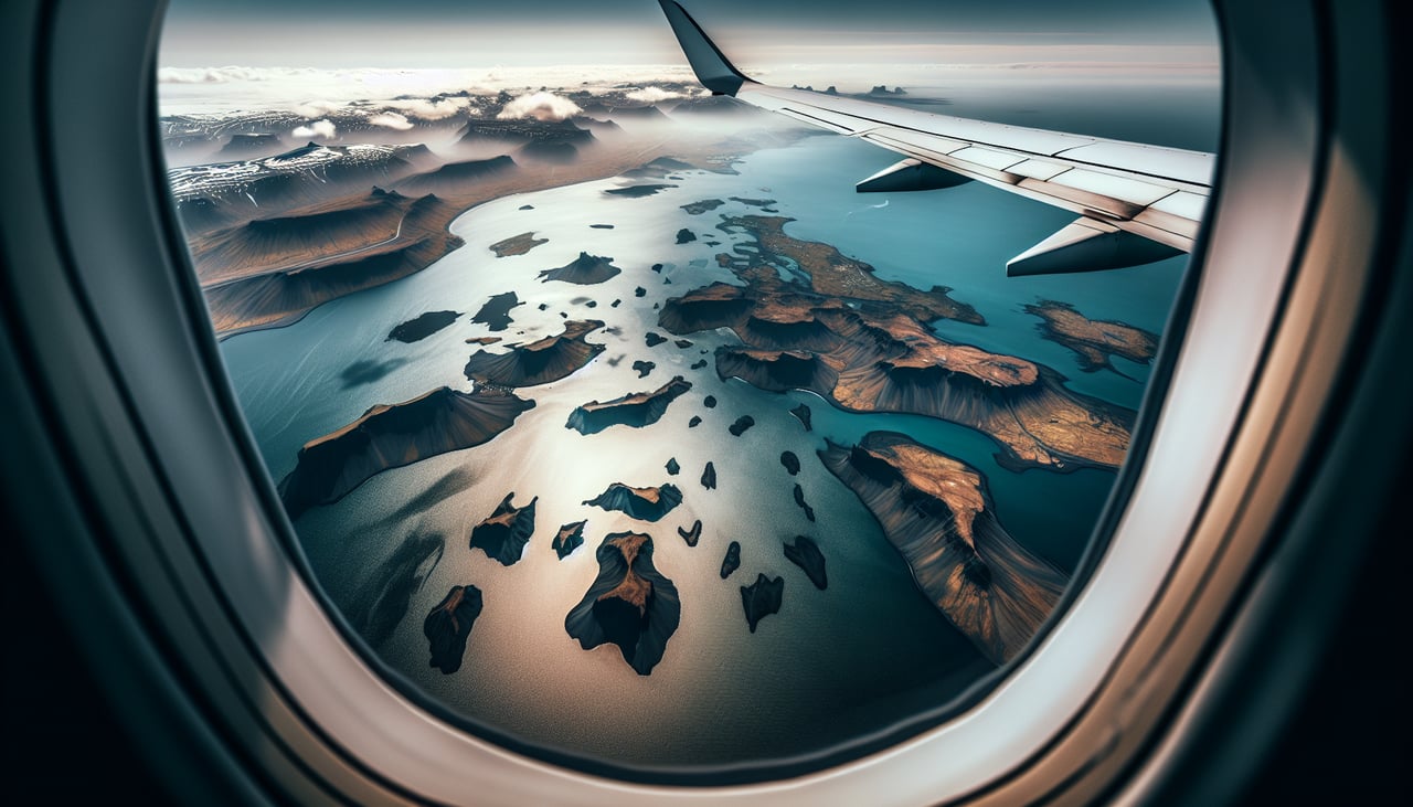
Takeoff from KEF
RIGHTKEF typically departs runway 02 (northbound) or 20 (southbound). Right-side seats offer views of Iceland's southwestern coast and the Reykjanes Peninsula's volcanic terrain during initial climb. The geothermal features and lava fields are distinctive from altitude.

Landing at MSP
LEFTMSP uses runways 04L/22R and 04R/22L. Approaching from the northeast (typical transatlantic routing), left-side seats provide views of the Minnesota River valley, downtown Minneapolis skyline, and the Mississippi River's distinctive meanders through the Twin Cities. These urban features are sharp and recognizable during descent.
Landmarks on this routeAll landmarks →
Will your flight be in sunlight?
Pick a date and time in the Sun Map to watch the sun move across your whole flight.
About This Route
Which side of the plane should I sit on flying from Keflavik Nas (KEF) to Minneapolis St Paul International (MSP)?
Sit on the Right side of the plane for the best views on flights from Keflavik to Minneapolis. Takeoff views of Iceland's volcanic landscape are more visually distinctive and geographically dramatic than landing views of a Midwestern city. The Reykjanes Peninsula's lava fields and geothermal features provide unique aerial perspective unavailable on most routes.
What can I see during takeoff from Keflavik Nas in Keflavik?
During takeoff from Keflavik Nas (KEF), sit on the Right side for the best views. KEF typically departs runway 02 (northbound) or 20 (southbound). Right-side seats offer views of Iceland's southwestern coast and the Reykjanes Peninsula's volcanic terrain during initial climb. The geothermal features and lava fields are distinctive from altitude. Notable sights include: Reykjanes Peninsula lava fields, Atlantic Ocean to the west, Fagradalsfjall volcanic region, Reykjavik city lights (if departing at dawn/dusk).
What can I see when landing at Minneapolis St Paul International in Minneapolis?
When landing at Minneapolis St Paul International (MSP), sit on the Left side for the best views. MSP uses runways 04L/22R and 04R/22L. Approaching from the northeast (typical transatlantic routing), left-side seats provide views of the Minnesota River valley, downtown Minneapolis skyline, and the Mississippi River's distinctive meanders through the Twin Cities. These urban features are sharp and recognizable during descent. Notable sights include: Mississippi River with visible meanders, downtown Minneapolis skyline, Minnesota River confluence, Chain of Lakes (southwest of downtown).
How long is the flight from Keflavik to Minneapolis?
The flight from Keflavik Nas (KEF) to Minneapolis St Paul International (MSP) takes about 6 hours. The shortest flight path between them is 2,936 miles (4,726 km); winds and air traffic control usually add a few percent.
What does the Keflavik to Minneapolis flight path pass over?
The flight path crosses the North Atlantic at high altitude (typically FL350-FL380). Midpoint features include the Denmark Strait (between Greenland and Iceland, visible if routing permits), Greenland's ice sheet edge (if track passes west), and the Canadian Arctic archipelago's islands (if northern routing). Most of the transatlantic crossing offers open ocean with occasional cloud formations. As the flight approaches North America, the Canadian Shield's lakes and boreal forest become visible, followed by the Great Lakes region before descent into Minnesota.