Kanazawa to Sapporo is 523 miles (841 km), a flight of about 1 hour 15 minutes.
The takeoff from Komatsu on the right side provides superior scenic value with Hakusan and the Kuzuryu River. While landing favors the left, the northbound flight path means the right side captures more of the dramatic volcanic landscape and coastal transitions that define this route.
Flight Path
The flight crosses the Japan Sea coast near Noto Peninsula, then tracks inland over Ishikawa and Toyama prefectures. Notable midpoint features include the Toyama Bay coastline (visible from altitude), the transition from coastal plains to the Hida Mountains on the right (east), and the gradual approach to Hokkaido's Ishikari Plain. The Daisetsu volcanic massif becomes visible on the horizon during the final 20 minutes of descent into Sapporo.
Great circle distance and headings ›Phase by phase
Takeoff from KMQ
RIGHTClimbing northeast from Komatsu, the right side offers views of the Kuzuryu River valley and the transition from the Kaga Plain toward the Hakusan volcanic massif. The left side faces inland toward less distinctive terrain.
Landing at CTS
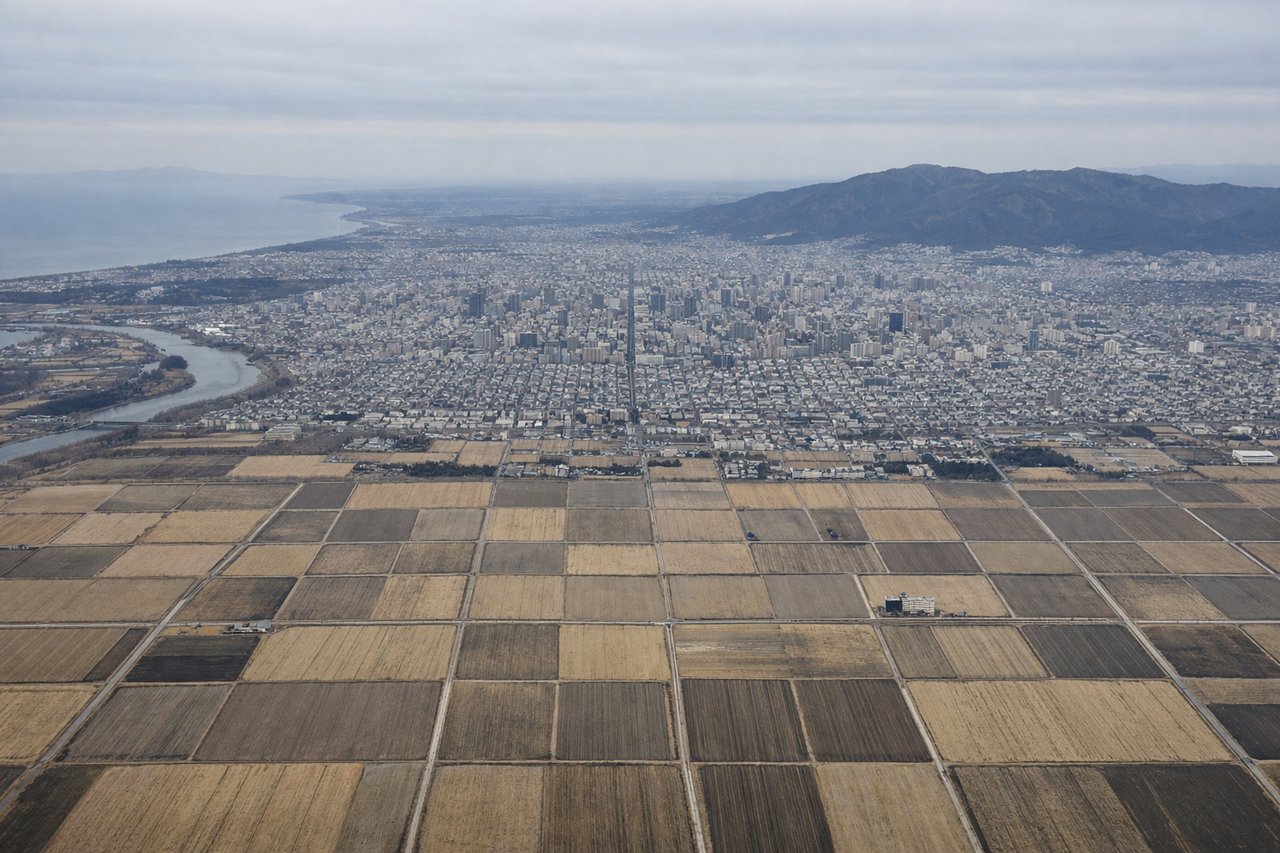
LEFTDescending into Chitose from the southwest, the left side captures the Ishikari River plain and the transition into Sapporo's urban sprawl. The right side faces less populated terrain and offers fewer distinctive landmarks during final approach.
Will your flight be in sunlight?
Pick a date and time in the Sun Map to watch the sun move across your whole flight.
About This Route
Which side of the plane should I sit on flying from Komatsu (KMQ) to Chitose International Airport (CTS)?
Sit on the Right side of the plane for the best views on flights from Kanazawa to Sapporo. The takeoff from Komatsu on the right side provides superior scenic value with Hakusan and the Kuzuryu River. While landing favors the left, the northbound flight path means the right side captures more of the dramatic volcanic landscape and coastal transitions that define this route.
What can I see during takeoff from Komatsu in Kanazawa?
During takeoff from Komatsu (KMQ), sit on the Right side for the best views. Climbing northeast from Komatsu, the right side offers views of the Kuzuryu River valley and the transition from the Kaga Plain toward the Hakusan volcanic massif. The left side faces inland toward less distinctive terrain. Notable sights include: Kuzuryu River (visible as a silvery thread below), Hakusan mountain (distant peak on horizon), Kanazawa city grid (receding behind), Japan Sea coastline (far right edge).
What can I see when landing at Chitose International Airport in Sapporo?
When landing at Chitose International Airport (CTS), sit on the Left side for the best views. Descending into Chitose from the southwest, the left side captures the Ishikari River plain and the transition into Sapporo's urban sprawl. The right side faces less populated terrain and offers fewer distinctive landmarks during final approach. Notable sights include: Ishikari River (wide braided channels), Sapporo city grid (expanding urban area), Maruyama forested hills (west of city), Daisetsu mountain range (distant backdrop).
How long is the flight from Kanazawa to Sapporo?
The flight from Komatsu (KMQ) to Chitose International Airport (CTS) takes about 1 hour 15 minutes. The shortest flight path between them is 523 miles (841 km); winds and air traffic control usually add a few percent.
What does the Kanazawa to Sapporo flight path pass over?
The flight crosses the Japan Sea coast near Noto Peninsula, then tracks inland over Ishikawa and Toyama prefectures. Notable midpoint features include the Toyama Bay coastline (visible from altitude), the transition from coastal plains to the Hida Mountains on the right (east), and the gradual approach to Hokkaido's Ishikari Plain. The Daisetsu volcanic massif becomes visible on the horizon during the final 20 minutes of descent into Sapporo.