Sapporo to Kanazawa is 523 miles (841 km), a flight of about 1 hour 15 minutes.
While takeoff offers coastal views, the landing approach provides more dramatic and visually distinctive scenery: Hakusan volcano, the Kuzuryu River system, and the Noto Peninsula are far more striking than the relatively flat Yufutsu Plain. Left-side seats capture the best of the flight's geography.
Flight Path
Crossing the Ishikari Mountains and foothills; transition from Hokkaido's coastal plains to central Honshu's mountainous terrain; views of the Japan Sea coast and inland valleys as the flight progresses southwestward toward the Kanazawa region
Great circle distance and headings ›Phase by phase
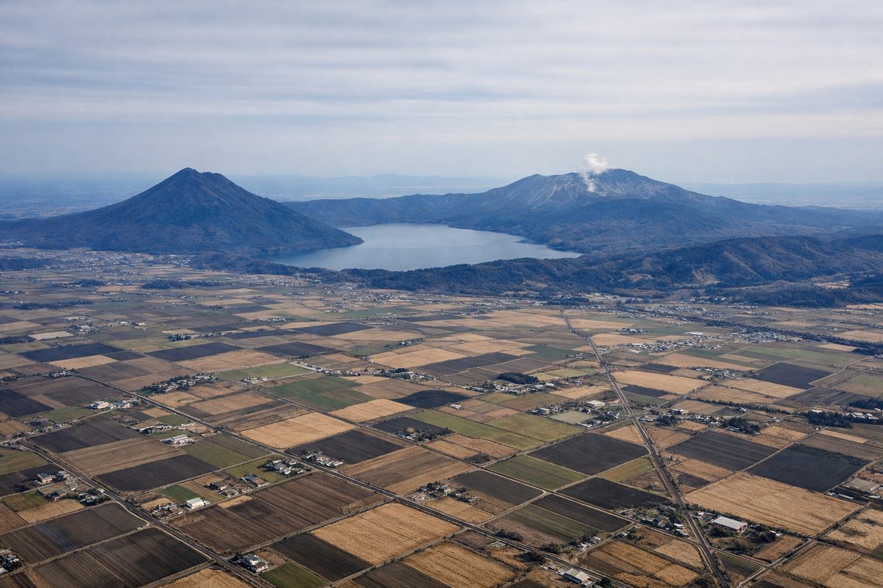
Takeoff from CTS
RIGHTRight-side seats offer views of Ishikari Bay and the coastal plains south of Sapporo during the initial climb. The aircraft typically departs southwestward, making the right wing the scenic side for water and lowland terrain.
Landing at KMQ
LEFTLeft-side seats provide excellent views of the Kuzuryu River valley, Hakusan volcano, and the Noto Peninsula during descent into Komatsu. The approach typically comes from the north, making the left wing ideal for these western landmarks.
Will your flight be in sunlight?
Pick a date and time in the Sun Map to watch the sun move across your whole flight.
About This Route
Which side of the plane should I sit on flying from Chitose International Airport (CTS) to Komatsu (KMQ)?
Sit on the Left side of the plane for the best views on flights from Sapporo to Kanazawa. While takeoff offers coastal views, the landing approach provides more dramatic and visually distinctive scenery: Hakusan volcano, the Kuzuryu River system, and the Noto Peninsula are far more striking than the relatively flat Yufutsu Plain. Left-side seats capture the best of the flight's geography.
What can I see during takeoff from Chitose International Airport in Sapporo?
During takeoff from Chitose International Airport (CTS), sit on the Right side for the best views. Right-side seats offer views of Ishikari Bay and the coastal plains south of Sapporo during the initial climb. The aircraft typically departs southwestward, making the right wing the scenic side for water and lowland terrain. Notable sights include: Ishikari Bay (immediate offshore), Sapporo urban area (receding northward), Yufutsu Plain (extending south), foothills of the Ishikari Mountains (distant southwest horizon).
What can I see when landing at Komatsu in Kanazawa?
When landing at Komatsu (KMQ), sit on the Left side for the best views. Left-side seats provide excellent views of the Kuzuryu River valley, Hakusan volcano, and the Noto Peninsula during descent into Komatsu. The approach typically comes from the north, making the left wing ideal for these western landmarks. Notable sights include: Hakusan (3,067 m, visible as a prominent snow-capped or dark peak), Kuzuryu River valley (wide river corridor with visible meanders), Noto Peninsula (extending northward into the Sea of Japan), Kanazawa city area (urban sprawl visible to the south).
How long is the flight from Sapporo to Kanazawa?
The flight from Chitose International Airport (CTS) to Komatsu (KMQ) takes about 1 hour 15 minutes. The shortest flight path between them is 523 miles (841 km); winds and air traffic control usually add a few percent.
What does the Sapporo to Kanazawa flight path pass over?
Crossing the Ishikari Mountains and foothills; transition from Hokkaido's coastal plains to central Honshu's mountainous terrain; views of the Japan Sea coast and inland valleys as the flight progresses southwestward toward the Kanazawa region