Both sides score equally at 2.5 due to the flight's short duration and limited terrain drama. However, Right wins marginally for the full experience: superior takeoff views of Kuwait's waterfront and harbor provide stronger opening scenery, while the landing approach on either side is comparable. The route crosses relatively flat terrain with the Caspian Sea as the primary geographic feature, limiting dramatic mountain or coastal variety. Right's takeoff advantage gives it the edge for overall passenger experience.
Flight Path
Flat desert plateau of central Iraq and eastern Iraq-Iran border region, Tigris River valley (distant, not directly overflown on typical routing), transition from Arabian Desert to Mesopotamian plains, approach to Caspian Sea basin with gradual elevation increase toward Caucasus foothills north of Baku
Great circle distance and headings ›Phase by phase
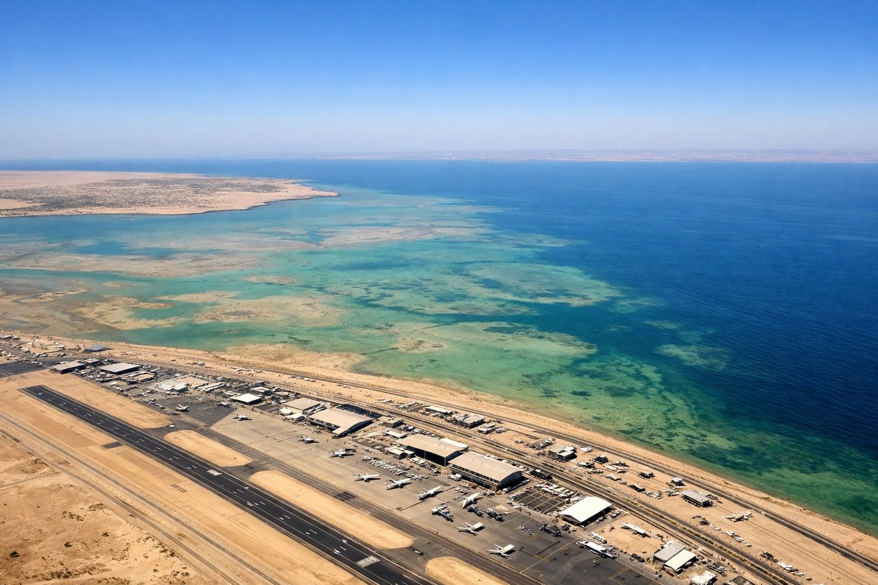
Takeoff from KWI
RIGHTRight side captures Kuwait City's waterfront and harbor during initial climb, with the Persian Gulf coastline visible. Left side shows inland desert and industrial areas with less visual interest during departure.
Landing at GYD
LEFTLeft side offers superior approach views into Baku, including the Caspian Sea coastline, the Absheron Peninsula's distinctive geography, and Baku's hillside urban sprawl. Right side shows open Caspian water and less dramatic terrain during descent.
Landmarks on this routeAll landmarks →
Will your flight be in sunlight?
See exactly which side of the plane gets sun and shade at your departure time.
About This Route
Which side of the plane should I sit on flying from Kuwait International Airport (KWI) to Heydar Aliyev International Airport (GYD)?
Sit on the Right side of the plane for the best views on flights from Kuwait to Baku. Both sides score equally at 2.5 due to the flight's short duration and limited terrain drama. However, Right wins marginally for the full experience: superior takeoff views of Kuwait's waterfront and harbor provide stronger opening scenery, while the landing approach on either side is comparable. The route crosses relatively flat terrain with the Caspian Sea as the primary geographic feature, limiting dramatic mountain or coastal variety. Right's takeoff advantage gives it the edge for overall passenger experience.
What can I see during takeoff from Kuwait International Airport in Kuwait?
During takeoff from Kuwait International Airport (KWI), sit on the Right side for the best views. Right side captures Kuwait City's waterfront and harbor during initial climb, with the Persian Gulf coastline visible. Left side shows inland desert and industrial areas with less visual interest during departure. Notable sights include: Kuwait City skyline and Shuwaikh Harbor, Persian Gulf coastline, Kuwait Bay, inland desert plateau.
What can I see when landing at Heydar Aliyev International Airport in Baku?
When landing at Heydar Aliyev International Airport (GYD), sit on the Left side for the best views. Left side offers superior approach views into Baku, including the Caspian Sea coastline, the Absheron Peninsula's distinctive geography, and Baku's hillside urban sprawl. Right side shows open Caspian water and less dramatic terrain during descent. Notable sights include: Caspian Sea, Absheron Peninsula, Baku's hillside cityscape, oil derricks and industrial infrastructure on the peninsula.
How long is the flight from Kuwait to Baku?
The flight from Kuwait International Airport (KWI) to Heydar Aliyev International Airport (GYD) takes 1h 25m.
What does the Kuwait to Baku flight path pass over?
Flat desert plateau of central Iraq and eastern Iraq-Iran border region, Tigris River valley (distant, not directly overflown on typical routing), transition from Arabian Desert to Mesopotamian plains, approach to Caspian Sea basin with gradual elevation increase toward Caucasus foothills north of Baku