Left side wins at both ends of the flight. The Andean departure view is genuinely spectacular and the Boston Harbor approach on the left is the classic arrival experience. During the long overwater cruise the views are similar on both sides, but the bookend experiences favor left.
Flown LIM to BOS? Did we get it right?
Flight Path
Lima to Boston is 3,777 miles (6,079 km), a flight of about 8 hours 30 minutes.
The flight tracks north-northwest over the Pacific Ocean off the Colombian and Central American coasts, then crosses the Caribbean Sea near Cuba or Hispaniola depending on routing. It then crosses the Bahamas and enters the US East Coast over Florida or the Carolinas, tracking up the Eastern Seaboard past the Outer Banks and Mid-Atlantic coast before descending into Boston. The Amazon basin is not overflown on this routing. The Caribbean islands — Cuba, Hispaniola, Puerto Rico — may be visible as low landmasses on clear days.
Great circle distance and headings ›

Phase by phase
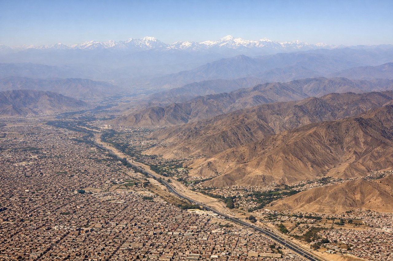
Takeoff from LIM
LEFTJorge Chavez typically departs on runway 15 heading southeast, then aircraft turn northward over the Pacific. The left side faces east toward the Andes, giving a clear view of the dramatic escarpment rising from the coastal desert. The right side looks out over the featureless Pacific Ocean.
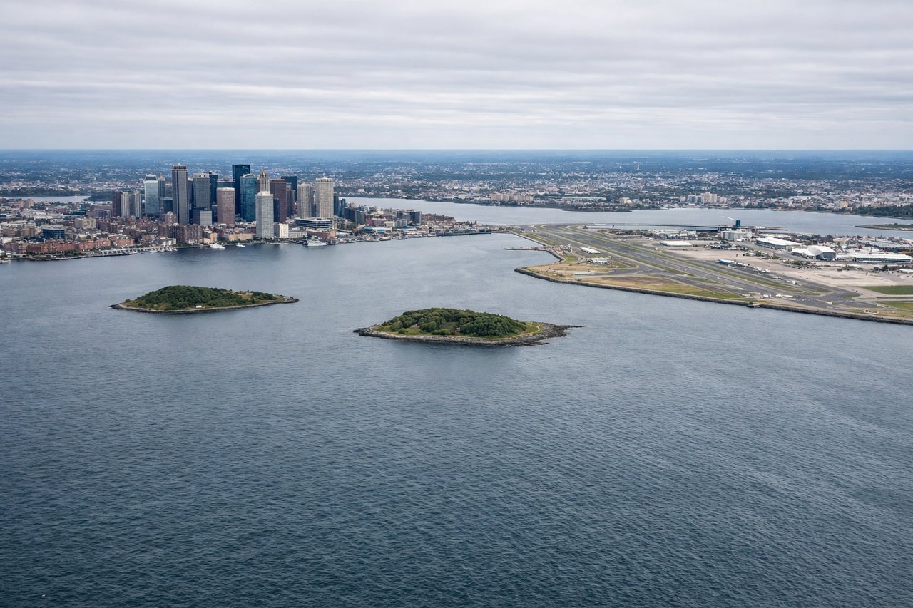
Landing at BOS
LEFTLogan Airport sits on a peninsula in Boston Harbor, and aircraft typically approach from the south or southwest on runway 22L/22R or 33L. A left-side seat on approach from the south gives views over Boston Harbor, the downtown skyline, and the Charles River. The right side faces toward the South Shore suburbs with less visual interest.
Will your flight be in sunlight?
Pick a date and time in the Sun Map to watch the sun move across your whole flight.
About This Route
Which side of the plane should I sit on flying from Jorge Chávez International Airport (LIM) to General Edward Lawrence Logan International (BOS)?
Sit on the Left side of the plane for the best views on flights from Lima to Boston. Left side wins at both ends of the flight. The Andean departure view is genuinely spectacular and the Boston Harbor approach on the left is the classic arrival experience. During the long overwater cruise the views are similar on both sides, but the bookend experiences favor left.
What can I see during takeoff from Jorge Chávez International Airport in Lima?
During takeoff from Jorge Chávez International Airport (LIM), sit on the Left side for the best views. Jorge Chavez typically departs on runway 15 heading southeast, then aircraft turn northward over the Pacific. The left side faces east toward the Andes, giving a clear view of the dramatic escarpment rising from the coastal desert. The right side looks out over the featureless Pacific Ocean. Notable sights include: Andean Cordillera Occidental rising sharply from the coastal plain, Lima's urban sprawl across the desert terraces, the Rio Rimac valley cutting into the foothills, Cerro San Cristobal visible above the city center.
What can I see when landing at General Edward Lawrence Logan International in Boston?
When landing at General Edward Lawrence Logan International (BOS), sit on the Left side for the best views. Logan Airport sits on a peninsula in Boston Harbor, and aircraft typically approach from the south or southwest on runway 22L/22R or 33L. A left-side seat on approach from the south gives views over Boston Harbor, the downtown skyline, and the Charles River. The right side faces toward the South Shore suburbs with less visual interest. Notable sights include: Boston downtown skyline including the Prudential Tower and John Hancock Tower, Boston Harbor and its islands, the Charles River separating Boston from Cambridge, Logan Airport's waterfront position on the East Boston peninsula.
How long is the flight from Lima to Boston?
The flight from Jorge Chávez International Airport (LIM) to General Edward Lawrence Logan International (BOS) takes about 8 hours 30 minutes. The shortest flight path between them is 3,777 miles (6,079 km); winds and air traffic control usually add a few percent.
What does the Lima to Boston flight path pass over?
The flight tracks north-northwest over the Pacific Ocean off the Colombian and Central American coasts, then crosses the Caribbean Sea near Cuba or Hispaniola depending on routing. It then crosses the Bahamas and enters the US East Coast over Florida or the Carolinas, tracking up the Eastern Seaboard past the Outer Banks and Mid-Atlantic coast before descending into Boston. The Amazon basin is not overflown on this routing. The Caribbean islands — Cuba, Hispaniola, Puerto Rico — may be visible as low landmasses on clear days.