While takeoff favors left seats for Andes views, the landing approach to BWI is the more visually distinctive segment of this route. Right seats provide superior views of the Patapsco estuary and Baltimore Harbor during the critical descent phase, which is more memorable than the coastal climb-out from Lima.
Flown LIM to BWI? Did we get it right?
Flight Path
Lima to Baltimore is 3,538 miles (5,693 km), a flight of about 7 hours 15 minutes.
The flight path crosses the Caribbean (no major landmarks visible at cruise altitude), then passes over the Yucatan Peninsula (visible as a low, flat landmass with lagoons if flying at lower altitudes or during dawn/dusk), continues over the Gulf of Mexico, and approaches the southeastern United States. The Appalachian Mountains become visible on the eastern horizon during descent into the mid-Atlantic region, appearing as a low, forested ridge running northeast-southwest.
Great circle distance and headings ›


Phase by phase
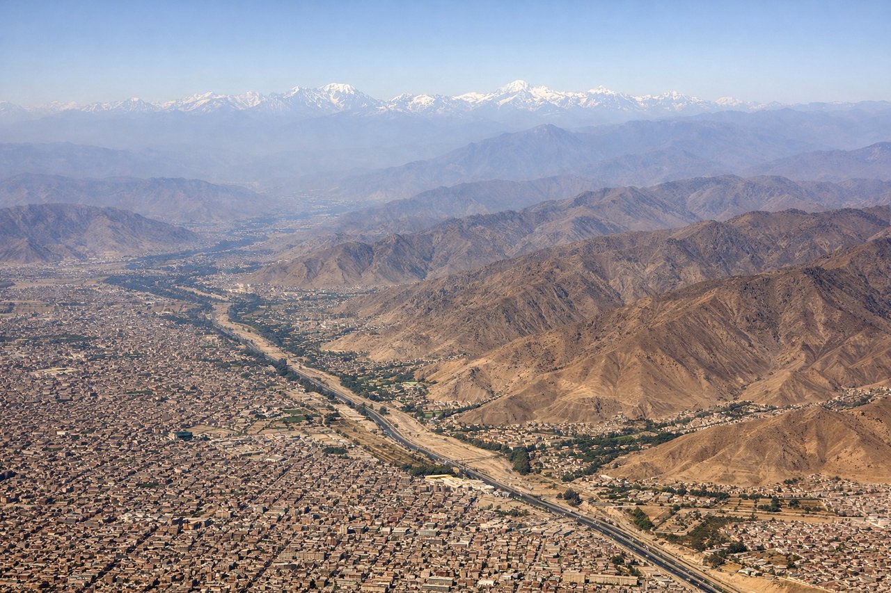
Takeoff from LIM
LEFTLIM typically departs runway 03 (northbound) or 15 (southbound). Left seats offer views of the Andes foothills rising inland and the Pacific coastline receding westward. Right seats face the flat coastal plain and industrial areas.
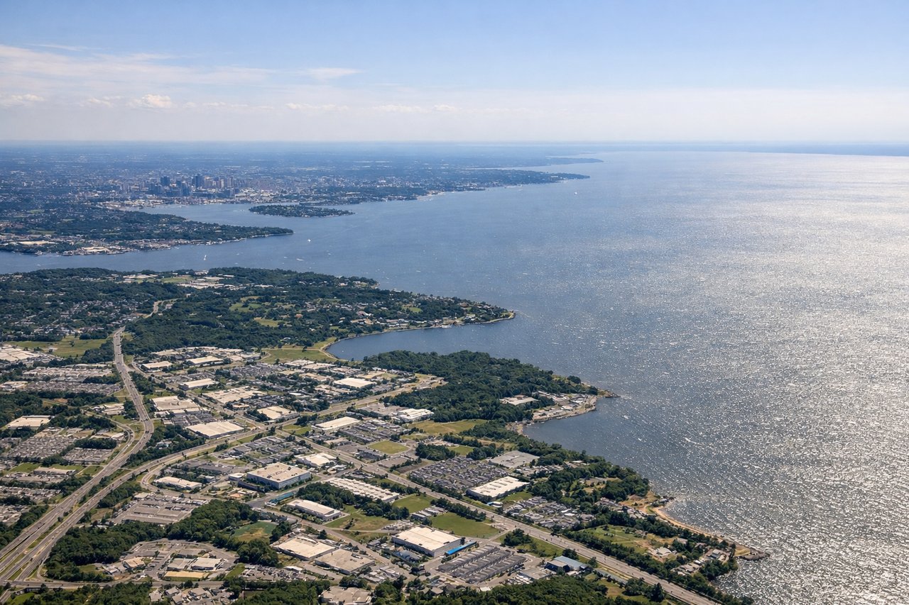
Landing at BWI
RIGHTBWI uses runways 10L/10R (eastbound) or 28L/28R (westbound). Approach vectors typically bring aircraft from the south or southwest. Right seats capture the Patapsco River estuary, Baltimore Harbor, and the Inner Harbor's distinctive layout as you descend into the final approach corridor.
Will your flight be in sunlight?
Pick a date and time in the Sun Map to watch the sun move across your whole flight.
About This Route
Which side of the plane should I sit on flying from Jorge Chávez International Airport (LIM) to Baltimore Washington International (BWI)?
Sit on the Right side of the plane for the best views on flights from Lima to Baltimore. While takeoff favors left seats for Andes views, the landing approach to BWI is the more visually distinctive segment of this route. Right seats provide superior views of the Patapsco estuary and Baltimore Harbor during the critical descent phase, which is more memorable than the coastal climb-out from Lima.
What can I see during takeoff from Jorge Chávez International Airport in Lima?
During takeoff from Jorge Chávez International Airport (LIM), sit on the Left side for the best views. LIM typically departs runway 03 (northbound) or 15 (southbound). Left seats offer views of the Andes foothills rising inland and the Pacific coastline receding westward. Right seats face the flat coastal plain and industrial areas. Notable sights include: Pacific Ocean (immediate west), Andes Mountains (eastern horizon, 40+ miles inland), Lima urban sprawl (south and southeast), Callao port district (north).
What can I see when landing at Baltimore Washington International in Baltimore?
When landing at Baltimore Washington International (BWI), sit on the Right side for the best views. BWI uses runways 10L/10R (eastbound) or 28L/28R (westbound). Approach vectors typically bring aircraft from the south or southwest. Right seats capture the Patapsco River estuary, Baltimore Harbor, and the Inner Harbor's distinctive layout as you descend into the final approach corridor. Notable sights include: Patapsco River estuary (immediate below during descent), Baltimore Inner Harbor (north of runway), Chesapeake Bay (northeast, visible on clear days), Fort McHenry (small but iconic, south of Inner Harbor).
How long is the flight from Lima to Baltimore?
The flight from Jorge Chávez International Airport (LIM) to Baltimore Washington International (BWI) takes about 7 hours 15 minutes. The shortest flight path between them is 3,538 miles (5,693 km); winds and air traffic control usually add a few percent.
What does the Lima to Baltimore flight path pass over?
The flight path crosses the Caribbean (no major landmarks visible at cruise altitude), then passes over the Yucatan Peninsula (visible as a low, flat landmass with lagoons if flying at lower altitudes or during dawn/dusk), continues over the Gulf of Mexico, and approaches the southeastern United States. The Appalachian Mountains become visible on the eastern horizon during descent into the mid-Atlantic region, appearing as a low, forested ridge running northeast-southwest.