Takeoff from Lima offers more dramatic scenery with immediate Andes views, while landing approaches the lower Sierras de Córdoba. Left seats capture the more visually striking departure sequence over Peru's coastal-to-mountain transition.
Flown LIM to COR? Did we get it right?
Flight Path
Lima to Cordoba is 1,566 miles (2,521 km), a flight of about 3 hours 15 minutes.
The flight path crosses the high Andes plateau (Altiplano) at approximately 13,000–15,000 feet, passing over the Bolivian highlands with sparse vegetation and salt flats. Lake Titicaca lies to the southeast of the direct route. The terrain transitions from Peru's western cordillera through the central highlands into Argentina's northwestern provinces (Jujuy, Salta), where the mountains gradually lower. The Río Grande valley and scattered Andean peaks mark the mid-flight zone before descent into the Argentine Pampas.
Great circle distance and headings ›

Phase by phase
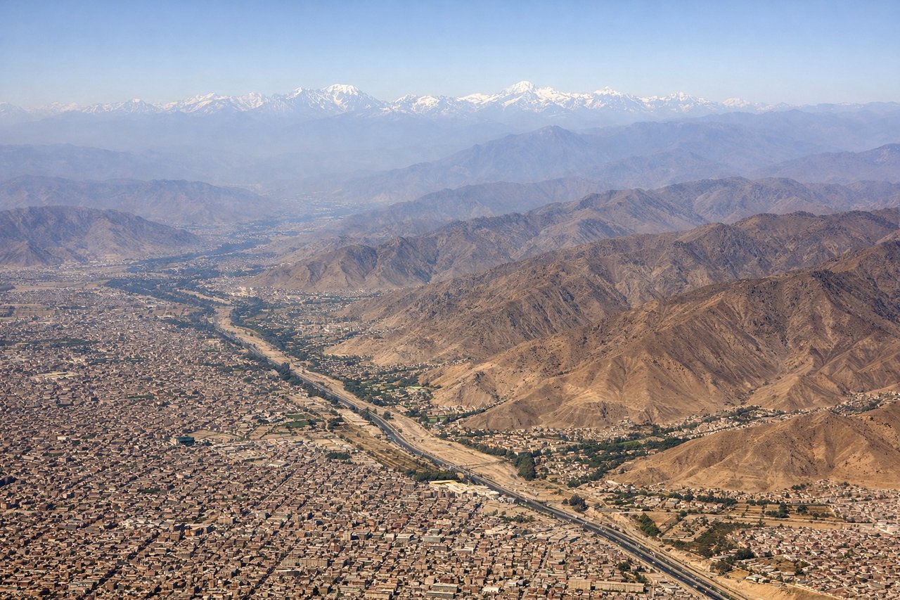
Takeoff from LIM
LEFTLeft seats offer views of the Andes foothills rising inland from Lima's coastal plain. The aircraft climbs southeast initially, so left-side passengers see the mountain escarpment that defines Peru's geography immediately after departure.
Landing at COR
RIGHTRight seats provide views of the Sierras de Córdoba as the aircraft descends from the northwest. These low mountains are the dominant terrain feature approaching Córdoba, and right-side passengers see them clearly during the final descent phase.
Will your flight be in sunlight?
Pick a date and time in the Sun Map to watch the sun move across your whole flight.
About This Route
Which side of the plane should I sit on flying from Jorge Chávez International Airport (LIM) to Ambrosio L V Taravella (COR)?
Sit on the Left side of the plane for the best views on flights from Lima to Cordoba. Takeoff from Lima offers more dramatic scenery with immediate Andes views, while landing approaches the lower Sierras de Córdoba. Left seats capture the more visually striking departure sequence over Peru's coastal-to-mountain transition.
What can I see during takeoff from Jorge Chávez International Airport in Lima?
During takeoff from Jorge Chávez International Airport (LIM), sit on the Left side for the best views. Left seats offer views of the Andes foothills rising inland from Lima's coastal plain. The aircraft climbs southeast initially, so left-side passengers see the mountain escarpment that defines Peru's geography immediately after departure. Notable sights include: Andes Mountains (eastern horizon), Pacific Ocean (receding westward), Lima urban sprawl (directly below during initial climb), Rimac River valley (cutting through coastal plain).
What can I see when landing at Ambrosio L V Taravella in Cordoba?
When landing at Ambrosio L V Taravella (COR), sit on the Right side for the best views. Right seats provide views of the Sierras de Córdoba as the aircraft descends from the northwest. These low mountains are the dominant terrain feature approaching Córdoba, and right-side passengers see them clearly during the final descent phase. Notable sights include: Sierras de Córdoba (low mountain range, eastern approach), Pampas grassland (flat terrain surrounding the city), Córdoba city center (visible during final approach), Suquía River (running through the city).
How long is the flight from Lima to Cordoba?
The flight from Jorge Chávez International Airport (LIM) to Ambrosio L V Taravella (COR) takes about 3 hours 15 minutes. The shortest flight path between them is 1,566 miles (2,521 km); winds and air traffic control usually add a few percent.
What does the Lima to Cordoba flight path pass over?
The flight path crosses the high Andes plateau (Altiplano) at approximately 13,000–15,000 feet, passing over the Bolivian highlands with sparse vegetation and salt flats. Lake Titicaca lies to the southeast of the direct route. The terrain transitions from Peru's western cordillera through the central highlands into Argentina's northwestern provinces (Jujuy, Salta), where the mountains gradually lower. The Río Grande valley and scattered Andean peaks mark the mid-flight zone before descent into the Argentine Pampas.