Right seats capture the dramatic Cascade Range and Mount Hood on approach into Portland, which is the most visually distinctive segment of this route. The takeoff over Lima's Pacific cliffs is secondary to the volcanic landscape reward on arrival.
Flown LIM to PDX? Did we get it right?
Flight Path
Lima to Portland is 4,882 miles (7,858 km), a flight of about 9 hours 40 minutes.
The flight path crosses the Pacific Ocean for roughly 2,500 nautical miles. Notable geographic features include: the Peruvian coastal desert and Andes (visible during climb-out), the open Pacific with no major landmarks for the bulk of the flight, the California coast near the Oregon border (visible during descent), and the Cascade Range volcanic arc including Mount Shasta (visible from altitude during the final 200 miles of approach into Portland).
Great circle distance and headings ›


Phase by phase
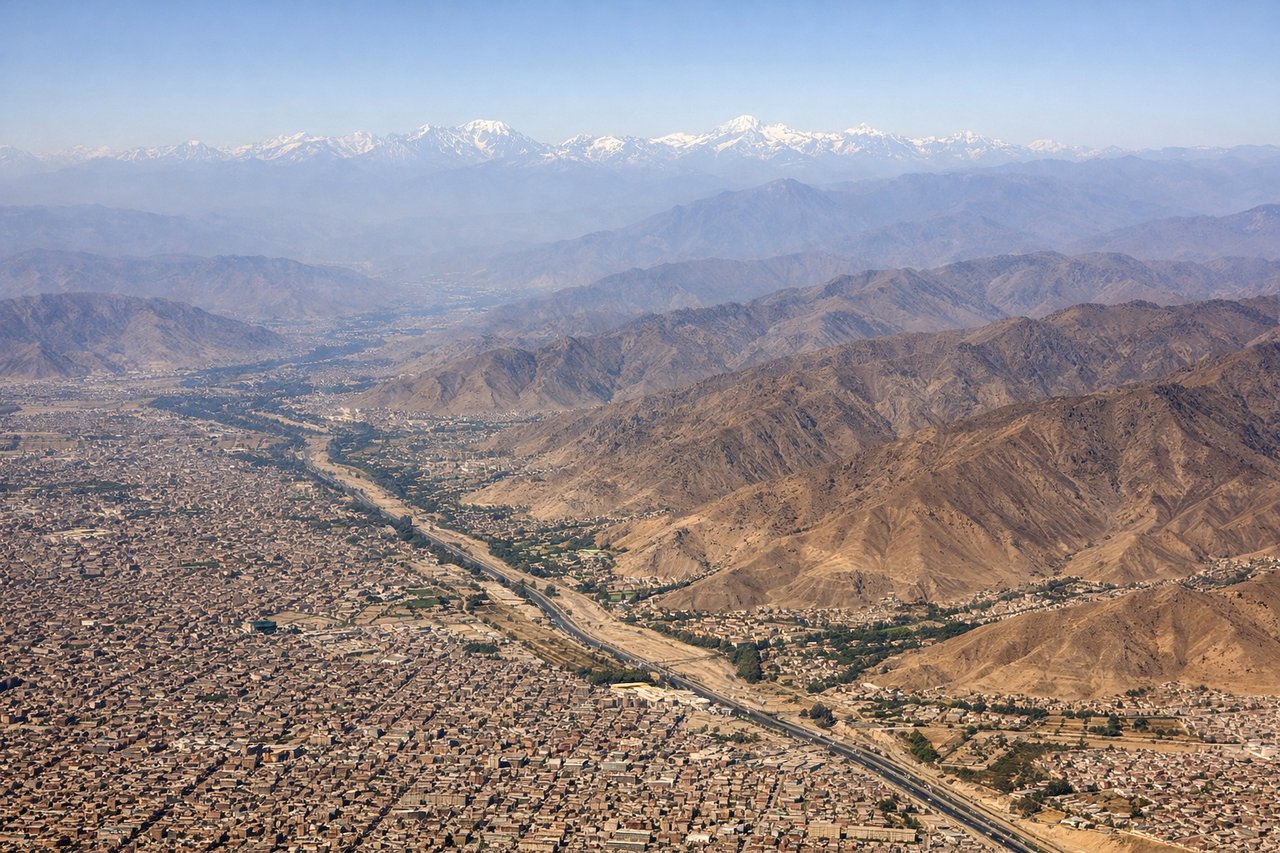
Takeoff from LIM
LEFTLima typically departs runway 03 (northbound). Left seats face west over the Pacific Ocean and the coastal cliffs of Miraflores and Barranco districts, offering dramatic views of Peru's western escarpment rising from the ocean.
Landing at PDX
RIGHTPortland typically lands runway 28L or 28R (westbound). Right seats on approach face south toward Mount Hood, the dominant visual landmark. The Cascade Range and Hood's 11,240-foot snow-capped peak are unmistakable from 15,000+ feet during descent.
Will your flight be in sunlight?
Pick a date and time in the Sun Map to watch the sun move across your whole flight.
About This Route
Which side of the plane should I sit on flying from Jorge Chávez International Airport (LIM) to Portland International (PDX)?
Sit on the Right side of the plane for the best views on flights from Lima to Portland. Right seats capture the dramatic Cascade Range and Mount Hood on approach into Portland, which is the most visually distinctive segment of this route. The takeoff over Lima's Pacific cliffs is secondary to the volcanic landscape reward on arrival.
What can I see during takeoff from Jorge Chávez International Airport in Lima?
During takeoff from Jorge Chávez International Airport (LIM), sit on the Left side for the best views. Lima typically departs runway 03 (northbound). Left seats face west over the Pacific Ocean and the coastal cliffs of Miraflores and Barranco districts, offering dramatic views of Peru's western escarpment rising from the ocean. Notable sights include: Pacific Ocean coastline, Miraflores cliffsides, Barranco district urban grid, Andes foothills receding inland.
What can I see when landing at Portland International in Portland?
When landing at Portland International (PDX), sit on the Right side for the best views. Portland typically lands runway 28L or 28R (westbound). Right seats on approach face south toward Mount Hood, the dominant visual landmark. The Cascade Range and Hood's 11,240-foot snow-capped peak are unmistakable from 15,000+ feet during descent. Notable sights include: Mount Hood (Cascade Range), Willamette River valley, Portland urban area, Columbia River to the north.
How long is the flight from Lima to Portland?
The flight from Jorge Chávez International Airport (LIM) to Portland International (PDX) takes about 9 hours 40 minutes. The shortest flight path between them is 4,882 miles (7,858 km); winds and air traffic control usually add a few percent.
What does the Lima to Portland flight path pass over?
The flight path crosses the Pacific Ocean for roughly 2,500 nautical miles. Notable geographic features include: the Peruvian coastal desert and Andes (visible during climb-out), the open Pacific with no major landmarks for the bulk of the flight, the California coast near the Oregon border (visible during descent), and the Cascade Range volcanic arc including Mount Shasta (visible from altitude during the final 200 miles of approach into Portland).