Lima to Santa Cruz is 1,011 miles (1,627 km), a flight of about 2 hours 15 minutes.
Right side offers the most dramatic geography: the Andes climb-out from Lima is visually superior to the flat approach into Santa Cruz. The eastern Cordillera and high plateau features visible during the cruise phase are best seen from the right.
Flight Path
The flight path crosses the Andes at roughly 13,500 feet elevation, passing over the high plateau (altiplano) region. The Cochabamba valley and surrounding mountain ranges are visible during cruise. The terrain transitions from coastal desert (west) through high mountains to lowland tropical forest (east). The Rio Beni and its tributaries become visible as you descend into the Santa Cruz basin.
Great circle distance and headings ›

Phase by phase

Takeoff from LIM
RIGHTRight side captures the Pacific coastline and the Andes foothills as you climb out eastbound. Lima's urban sprawl and the coastal cliffs near Callao are visible initially, then the western slopes of the Andes dominate the view during climb.
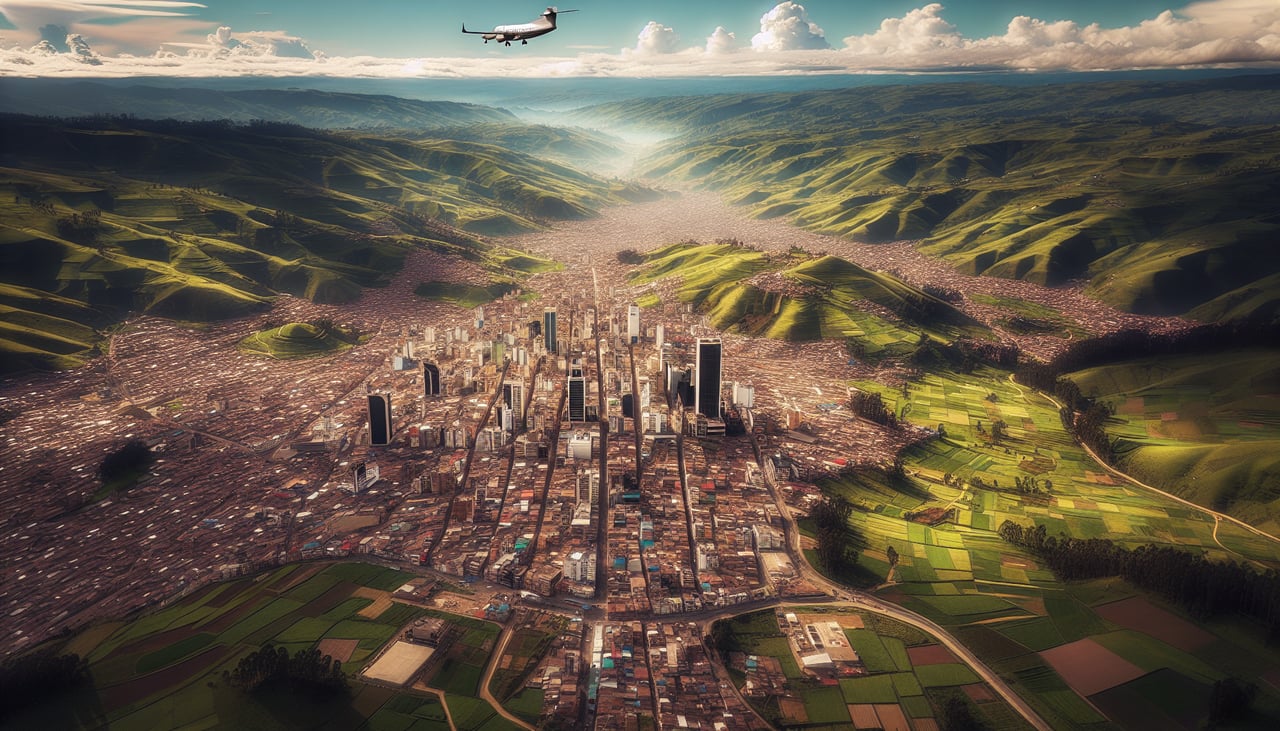
Landing at VVI
LEFTLeft side provides views of Santa Cruz's urban approach and the surrounding lowland terrain. As you descend westbound into Viru Viru, the left side shows the city's grid layout and the flat Chiquitano forest landscape that characterizes the region.
Landmarks on this routeAll landmarks →
Will your flight be in sunlight?
Pick a date and time in the Sun Map to watch the sun move across your whole flight.
About This Route
Which side of the plane should I sit on flying from Jorge Chávez International Airport (LIM) to Viru Viru International (VVI)?
Sit on the Right side of the plane for the best views on flights from Lima to Santa Cruz. Right side offers the most dramatic geography: the Andes climb-out from Lima is visually superior to the flat approach into Santa Cruz. The eastern Cordillera and high plateau features visible during the cruise phase are best seen from the right.
What can I see during takeoff from Jorge Chávez International Airport in Lima?
During takeoff from Jorge Chávez International Airport (LIM), sit on the Right side for the best views. Right side captures the Pacific coastline and the Andes foothills as you climb out eastbound. Lima's urban sprawl and the coastal cliffs near Callao are visible initially, then the western slopes of the Andes dominate the view during climb. Notable sights include: Pacific Ocean and Callao port (west), Andes western escarpment (east), Lima metropolitan area (south), coastal desert plain.
What can I see when landing at Viru Viru International in Santa Cruz?
When landing at Viru Viru International (VVI), sit on the Left side for the best views. Left side provides views of Santa Cruz's urban approach and the surrounding lowland terrain. As you descend westbound into Viru Viru, the left side shows the city's grid layout and the flat Chiquitano forest landscape that characterizes the region. Notable sights include: Santa Cruz city center (urban grid), Chiquitano forest canopy (green expanse), Rio Grande (visible as a linear feature), flat lowland terrain.
How long is the flight from Lima to Santa Cruz?
The flight from Jorge Chávez International Airport (LIM) to Viru Viru International (VVI) takes about 2 hours 15 minutes. The shortest flight path between them is 1,011 miles (1,627 km); winds and air traffic control usually add a few percent.
What does the Lima to Santa Cruz flight path pass over?
The flight path crosses the Andes at roughly 13,500 feet elevation, passing over the high plateau (altiplano) region. The Cochabamba valley and surrounding mountain ranges are visible during cruise. The terrain transitions from coastal desert (west) through high mountains to lowland tropical forest (east). The Rio Beni and its tributaries become visible as you descend into the Santa Cruz basin.