Left side wins at both ends of the flight. Departure gives you the Andes and Lima, arrival gives you Lake Ontario and the Toronto skyline. During the cruise over Central America and the Caribbean, the left side also faces east toward the Gulf of Mexico and Caribbean coastlines.
Flight Path
After departing Lima the route tracks northwest over the Pacific briefly before crossing Ecuador and Colombia. The flight then passes over Central America including Panama, Costa Rica, and Guatemala, where the Pacific coastal mountain ranges are occasionally visible. Over Mexico the Sierra Madre Occidental appears to the east. The Gulf of Mexico is crossed, followed by the southeastern United States including the Appalachian ridgelines in the distance. The final leg crosses Lake Erie before descending into Toronto.
Great circle distance and headings ›.jpg?width=600)

.jpeg?width=600)

Phase by phase
Takeoff from LIM
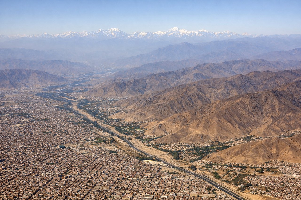
LEFTJorge Chavez typically departs runway 15 heading south, then aircraft turn right (northward) over the Pacific. A left seat faces east toward the Andes as the plane climbs and banks. You get a clear view of Lima's urban sprawl against the desert coast and the Andean foothills rising dramatically behind the city.
Landing at YYZ
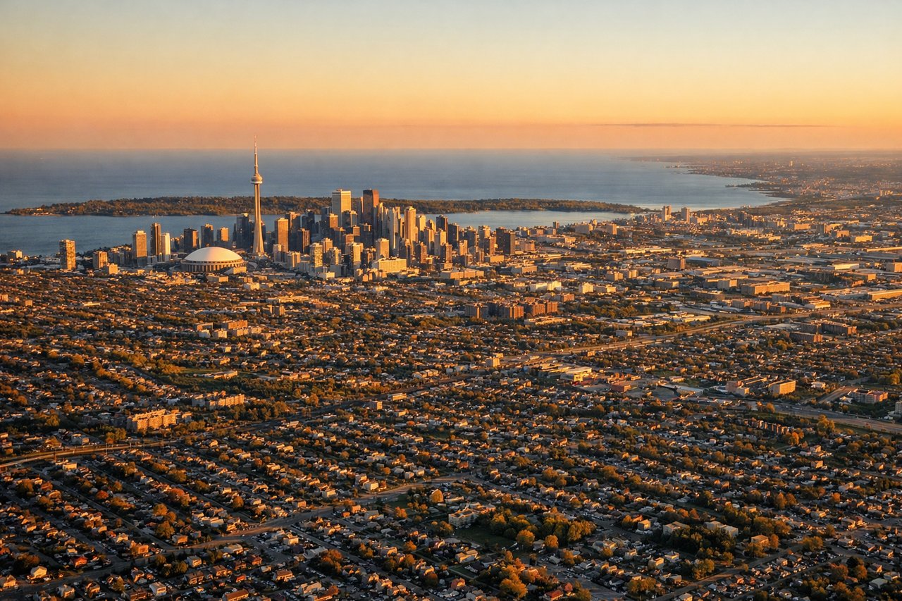
LEFTPearson's most common arrival is runway 05 or 06L/06R from the southwest, meaning the aircraft approaches from over Lake Ontario. A left seat faces south over the lake and then gives a clear view of downtown Toronto's skyline including the CN Tower as you cross the lakeshore on short final.
Landmarks on this routeAll landmarks →
Will your flight be in sunlight?
See exactly which side of the plane gets sun and shade at your departure time.
About This Route
Which side of the plane should I sit on flying from Jorge Chávez International Airport (LIM) to Lester B Pearson International (YYZ)?
Sit on the Left side of the plane for the best views on flights from Lima to Toronto. Left side wins at both ends of the flight. Departure gives you the Andes and Lima, arrival gives you Lake Ontario and the Toronto skyline. During the cruise over Central America and the Caribbean, the left side also faces east toward the Gulf of Mexico and Caribbean coastlines.
What can I see during takeoff from Jorge Chávez International Airport in Lima?
During takeoff from Jorge Chávez International Airport (LIM), sit on the Left side for the best views. Jorge Chavez typically departs runway 15 heading south, then aircraft turn right (northward) over the Pacific. A left seat faces east toward the Andes as the plane climbs and banks. You get a clear view of Lima's urban sprawl against the desert coast and the Andean foothills rising dramatically behind the city. Notable sights include: Andes foothills east of Lima, Rio Rimac valley, Lima metropolitan grid extending to the coast, Callao port district.
What can I see when landing at Lester B Pearson International in Toronto?
When landing at Lester B Pearson International (YYZ), sit on the Left side for the best views. Pearson's most common arrival is runway 05 or 06L/06R from the southwest, meaning the aircraft approaches from over Lake Ontario. A left seat faces south over the lake and then gives a clear view of downtown Toronto's skyline including the CN Tower as you cross the lakeshore on short final. Notable sights include: Lake Ontario, Toronto downtown skyline and CN Tower, Humber Bay shoreline, Highway 401 corridor.
How long is the flight from Lima to Toronto?
The flight from Jorge Chávez International Airport (LIM) to Lester B Pearson International (YYZ) takes Approximately 8 to 9 hours.
What does the Lima to Toronto flight path pass over?
After departing Lima the route tracks northwest over the Pacific briefly before crossing Ecuador and Colombia. The flight then passes over Central America including Panama, Costa Rica, and Guatemala, where the Pacific coastal mountain ranges are occasionally visible. Over Mexico the Sierra Madre Occidental appears to the east. The Gulf of Mexico is crossed, followed by the southeastern United States including the Appalachian ridgelines in the distance. The final leg crosses Lake Erie before descending into Toronto.