The right side (Tangier approach) scores significantly higher due to the dramatic Rif Mountains, the visually striking Strait of Gibraltar crossing, and Tangier's scenic harbor approach. While Madrid's departure is moderately interesting, the central Spanish plateau dominates most of the flight with flat, repetitive terrain. The landing sequence on the right side provides far superior scenery and geographic drama.
Flown MAD to TNG? Did we get it right?
Flight Path
Madrid to Tanger is 353 miles (568 km), a flight of about 1 hour 15 minutes.
Central Spanish plateau (flat, agricultural), Sierra Morena mountains (low ridges, southern Spain), Guadalquivir River valley, transition from Spanish interior to Andalusian coastal plains, Strait of Gibraltar narrowing, Rif Mountains rising steeply
Great circle distance and headings ›

Phase by phase
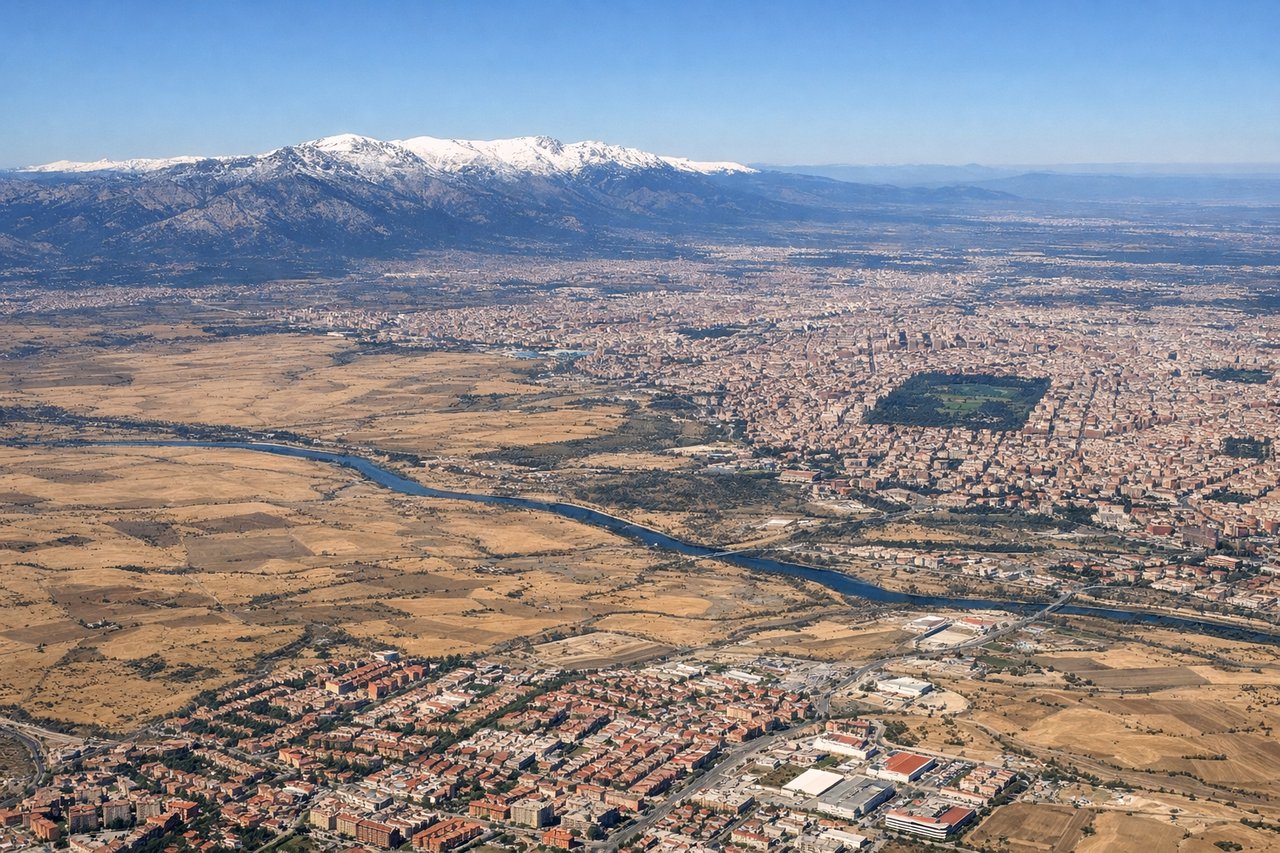
Takeoff from MAD
LEFTMadrid's urban sprawl and surrounding plateau terrain provide moderate interest during climb-out. The city's grid pattern and the Guadarrama Mountains to the northwest offer some visual structure, though the landscape quickly becomes monotonous central Spanish plains.
Landing at TNG
RIGHTTangier's approach offers superior scenery: the Strait of Gibraltar narrows dramatically, the Rif Mountains dominate the landscape with steep, rugged terrain, and the Mediterranean coastline with its distinctive white cliffs and harbor create a visually compelling finale. The contrast between African mountains and European coast across the strait is striking.
Will your flight be in sunlight?
Pick a date and time in the Sun Map to watch the sun move across your whole flight.
About This Route
Which side of the plane should I sit on flying from Barajas (MAD) to Ibn Batouta (TNG)?
Sit on the Right side of the plane for the best views on flights from Madrid to Tanger. The right side (Tangier approach) scores significantly higher due to the dramatic Rif Mountains, the visually striking Strait of Gibraltar crossing, and Tangier's scenic harbor approach. While Madrid's departure is moderately interesting, the central Spanish plateau dominates most of the flight with flat, repetitive terrain. The landing sequence on the right side provides far superior scenery and geographic drama.
What can I see during takeoff from Barajas in Madrid?
During takeoff from Barajas (MAD), sit on the Left side for the best views. Madrid's urban sprawl and surrounding plateau terrain provide moderate interest during climb-out. The city's grid pattern and the Guadarrama Mountains to the northwest offer some visual structure, though the landscape quickly becomes monotonous central Spanish plains. Notable sights include: Madrid city center and suburbs, Guadarrama Mountains (northwest), Tagus River valley, central Meseta plateau.
What can I see when landing at Ibn Batouta in Tanger?
When landing at Ibn Batouta (TNG), sit on the Right side for the best views. Tangier's approach offers superior scenery: the Strait of Gibraltar narrows dramatically, the Rif Mountains dominate the landscape with steep, rugged terrain, and the Mediterranean coastline with its distinctive white cliffs and harbor create a visually compelling finale. The contrast between African mountains and European coast across the strait is striking. Notable sights include: Rif Mountains (steep, forested ridges), Strait of Gibraltar (narrow water passage), Tangier's white medina and harbor, Cape Spartel headland.
How long is the flight from Madrid to Tanger?
The flight from Barajas (MAD) to Ibn Batouta (TNG) takes about 1 hour 15 minutes. The shortest flight path between them is 353 miles (568 km); winds and air traffic control usually add a few percent.
What does the Madrid to Tanger flight path pass over?
Central Spanish plateau (flat, agricultural), Sierra Morena mountains (low ridges, southern Spain), Guadalquivir River valley, transition from Spanish interior to Andalusian coastal plains, Strait of Gibraltar narrowing, Rif Mountains rising steeply