While takeoff offers excellent atoll views, the landing approach into Honolulu provides more dramatic and sustained scenery—the Ko'olau's steep windward cliffs, verdant valleys, and Pearl Harbor are far more visually striking than the open ocean that dominates most of the flight.
Flight Path
Open North Pacific Ocean with no significant landmarks; flight path crosses approximately 1,200 nautical miles of featureless deep ocean between Majuro and Hawaii. No islands, atolls, or visible geographic features exist along the typical great-circle route. Occasional cloud formations and ocean swells may be visible, but no fixed landmarks.
Great circle distance and headings ›Phase by phase
Takeoff from MAJ
RIGHTRight-side seats offer views of Majuro Atoll's lagoon and reef system during climb-out heading northeast. The atoll's distinctive circular structure and turquoise lagoon are clearly visible from 5,000–15,000 feet before the aircraft turns northwest toward Hawaii.
Landing at HNL
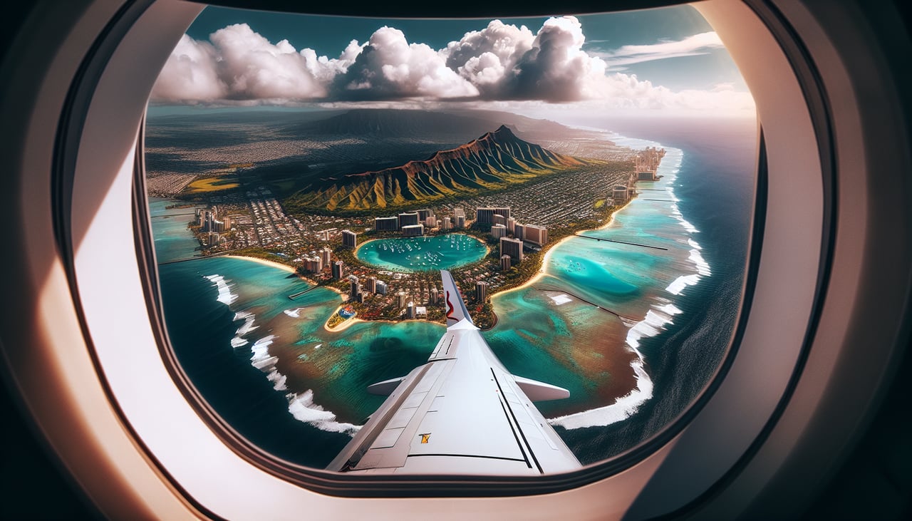
LEFTLeft-side seats provide views of the Hawaiian Islands' windward coastlines and interior valleys during descent into Honolulu. The Ko'olau and Waianae mountain ranges dominate the approach, with Oahu's dramatic pali (cliff faces) and lush valleys visible on the left side as the aircraft descends toward HNL.
Landmarks on this routeAll landmarks →
Will your flight be in sunlight?
See exactly which side of the plane gets sun and shade at your departure time.
About This Route
Which side of the plane should I sit on flying from Marshall Islands International (MAJ) to Honolulu International (HNL)?
Sit on the Left side of the plane for the best views on flights from Majuro to Honolulu. While takeoff offers excellent atoll views, the landing approach into Honolulu provides more dramatic and sustained scenery—the Ko'olau's steep windward cliffs, verdant valleys, and Pearl Harbor are far more visually striking than the open ocean that dominates most of the flight.
What can I see during takeoff from Marshall Islands International in Majuro?
During takeoff from Marshall Islands International (MAJ), sit on the Right side for the best views. Right-side seats offer views of Majuro Atoll's lagoon and reef system during climb-out heading northeast. The atoll's distinctive circular structure and turquoise lagoon are clearly visible from 5,000–15,000 feet before the aircraft turns northwest toward Hawaii. Notable sights include: Majuro Atoll lagoon (bright turquoise enclosed water), outer reef line (white breaker zone), Laura Island (largest landmass on atoll's eastern rim), surrounding Pacific Ocean.
What can I see when landing at Honolulu International in Honolulu?
When landing at Honolulu International (HNL), sit on the Left side for the best views. Left-side seats provide views of the Hawaiian Islands' windward coastlines and interior valleys during descent into Honolulu. The Ko'olau and Waianae mountain ranges dominate the approach, with Oahu's dramatic pali (cliff faces) and lush valleys visible on the left side as the aircraft descends toward HNL. Notable sights include: Ko'olau mountain range (windward Oahu, jagged ridgeline with deep valleys), Waianae mountain range (leeward Oahu, lower and more rounded), Pearl Harbor (visible as geometric waterway and naval installations), Honolulu city and urban sprawl.
How long is the flight from Majuro to Honolulu?
The flight from Marshall Islands International (MAJ) to Honolulu International (HNL) takes 5h 15m.
What does the Majuro to Honolulu flight path pass over?
Open North Pacific Ocean with no significant landmarks; flight path crosses approximately 1,200 nautical miles of featureless deep ocean between Majuro and Hawaii. No islands, atolls, or visible geographic features exist along the typical great-circle route. Occasional cloud formations and ocean swells may be visible, but no fixed landmarks.