The right side offers the only real terrain variation on this short flight — the Peak District hills at takeoff — while the rest of the route over flat English Midlands, a brief Channel crossing, and Belgian lowlands is largely featureless on both sides.
Flight Path
Flat farmland of the English Midlands giving way to the English Channel near Kent, then the low-lying coastal plains of Belgium
Great circle distance and headings ›Phase by phase
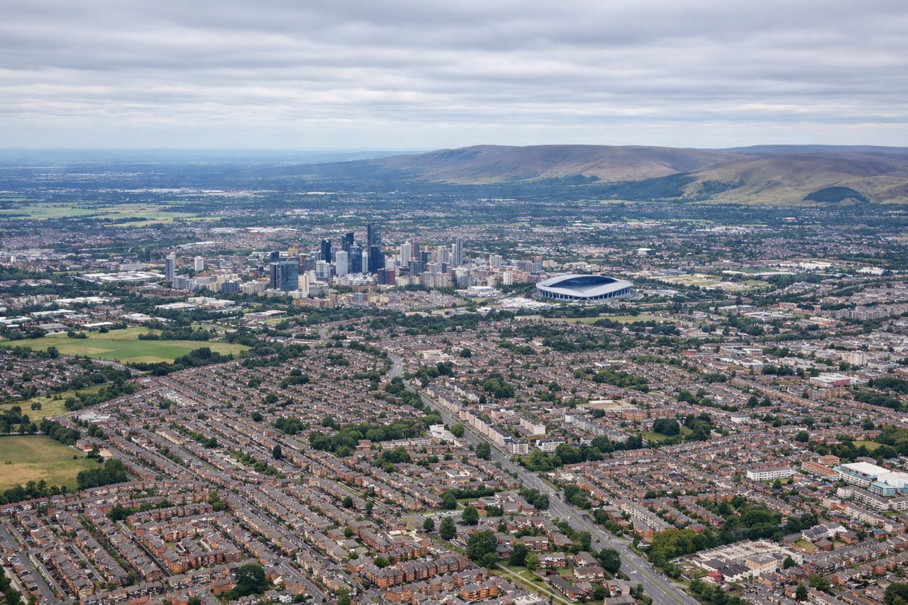
Takeoff from MAN
RIGHTAfter departing runway 23 to the southwest, the aircraft banks left to head southeast toward the Continent, briefly exposing the rolling hills and gritstone edges of the Peak District on the right side before the terrain flattens out toward the Midlands.
Landing at CRL
LEFTOn approach into Charleroi's runway 24 from the northeast, the descent path swings the aircraft south of Brussels, giving left-side passengers a distant glimpse of the city's skyline and the flat Belgian farmland beyond before the final turn onto the runway.
Will your flight be in sunlight?
See exactly which side of the plane gets sun and shade at your departure time.
About This Route
Which side of the plane should I sit on flying from Manchester (MAN) to Brussels South (CRL)?
Sit on the Right side of the plane for the best views on flights from Manchester to Charleroi. The right side offers the only real terrain variation on this short flight — the Peak District hills at takeoff — while the rest of the route over flat English Midlands, a brief Channel crossing, and Belgian lowlands is largely featureless on both sides.
What can I see during takeoff from Manchester in Manchester?
During takeoff from Manchester (MAN), sit on the Right side for the best views. After departing runway 23 to the southwest, the aircraft banks left to head southeast toward the Continent, briefly exposing the rolling hills and gritstone edges of the Peak District on the right side before the terrain flattens out toward the Midlands. Notable sights include: Peak District hills, Cheshire Plain, outskirts of Manchester, Derwent Valley reservoirs.
What can I see when landing at Brussels South in Charleroi?
When landing at Brussels South (CRL), sit on the Left side for the best views. On approach into Charleroi's runway 24 from the northeast, the descent path swings the aircraft south of Brussels, giving left-side passengers a distant glimpse of the city's skyline and the flat Belgian farmland beyond before the final turn onto the runway. Notable sights include: Distant Brussels skyline, Sambre river valley, Belgian farmland patchwork, Charleroi outskirts.
How long is the flight from Manchester to Charleroi?
The flight from Manchester (MAN) to Brussels South (CRL) takes 1h 20m.
What does the Manchester to Charleroi flight path pass over?
Flat farmland of the English Midlands giving way to the English Channel near Kent, then the low-lying coastal plains of Belgium