While the left side wins the Jamaica departure, the right side offers the more varied and memorable overall experience: turquoise Bahamian shallows and Cuban coastline visible during the mid-flight leg, followed by a genuinely scenic Lake Ontario approach with the Toronto skyline coming into view before landing.
Flown MBJ to YYZ? Did we get it right?
Flight Path
Montego Bay to Toronto is 1,742 miles (2,804 km), a flight of about 3 hours 45 minutes.
The route crosses the northern Caribbean near Cuba, then traverses the Bahamas' shallow turquoise banks before continuing north over the western Atlantic seaboard toward the Great Lakes region and Lake Ontario.
Great circle distance and headings ›

Phase by phase
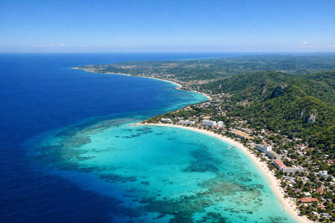
Takeoff from MBJ
LEFTDeparting MBJ on runway 07, the aircraft climbs out over the Caribbean and banks north, giving left-side passengers a last look at Montego Bay's coastline, coral reefs, and the forested limestone hills of Cockpit Country before the turn levels out over open water.

Landing at YYZ
RIGHTOn approach into YYZ from the south, the descent path crosses Lake Ontario, giving right-side passengers a clear view of the Toronto skyline, CN Tower, and the harbor before the final turn onto the runway.
Will your flight be in sunlight?
Pick a date and time in the Sun Map to watch the sun move across your whole flight.
About This Route
Which side of the plane should I sit on flying from Sangster International (MBJ) to Lester B Pearson International (YYZ)?
Sit on the Right side of the plane for the best views on flights from Montego Bay to Toronto. While the left side wins the Jamaica departure, the right side offers the more varied and memorable overall experience: turquoise Bahamian shallows and Cuban coastline visible during the mid-flight leg, followed by a genuinely scenic Lake Ontario approach with the Toronto skyline coming into view before landing.
What can I see during takeoff from Sangster International in Montego Bay?
During takeoff from Sangster International (MBJ), sit on the Left side for the best views. Departing MBJ on runway 07, the aircraft climbs out over the Caribbean and banks north, giving left-side passengers a last look at Montego Bay's coastline, coral reefs, and the forested limestone hills of Cockpit Country before the turn levels out over open water. Notable sights include: Montego Bay coastline, Cockpit Country hills, Caribbean reef shallows, Jamaica's north shore beaches.
What can I see when landing at Lester B Pearson International in Toronto?
When landing at Lester B Pearson International (YYZ), sit on the Right side for the best views. On approach into YYZ from the south, the descent path crosses Lake Ontario, giving right-side passengers a clear view of the Toronto skyline, CN Tower, and the harbor before the final turn onto the runway. Notable sights include: CN Tower, downtown Toronto skyline, Toronto Islands, Lake Ontario shoreline.
How long is the flight from Montego Bay to Toronto?
The flight from Sangster International (MBJ) to Lester B Pearson International (YYZ) takes about 3 hours 45 minutes. The shortest flight path between them is 1,742 miles (2,804 km); winds and air traffic control usually add a few percent.
What does the Montego Bay to Toronto flight path pass over?
The route crosses the northern Caribbean near Cuba, then traverses the Bahamas' shallow turquoise banks before continuing north over the western Atlantic seaboard toward the Great Lakes region and Lake Ontario.