Montpelier to Vancouver is 2,378 miles (3,827 km), a flight of about 6 hours 15 minutes.
While the takeoff offers Green and White Mountain views on the left, the landing approach on the right provides more dramatic scenery with the North Shore Mountains and Strait of Georgia. The right side captures the most visually distinctive portion of this transcontinental route.
Flight Path
Great Lakes region (Lake Ontario, Lake Erie visible on northern route), Appalachian ridges transitioning to Great Plains, Rocky Mountains (Canadian Rockies near destination), Flathead Lake area, Columbia River valley
Great circle distance and headings ›.jpeg?width=600)

Phase by phase
Takeoff from MPV
LEFTClimbing northwest from Montpelier, left-side seats face the Green Mountains and White Mountains as you gain altitude. The terrain rises immediately to the west and north, making this the scenic side during initial climb.
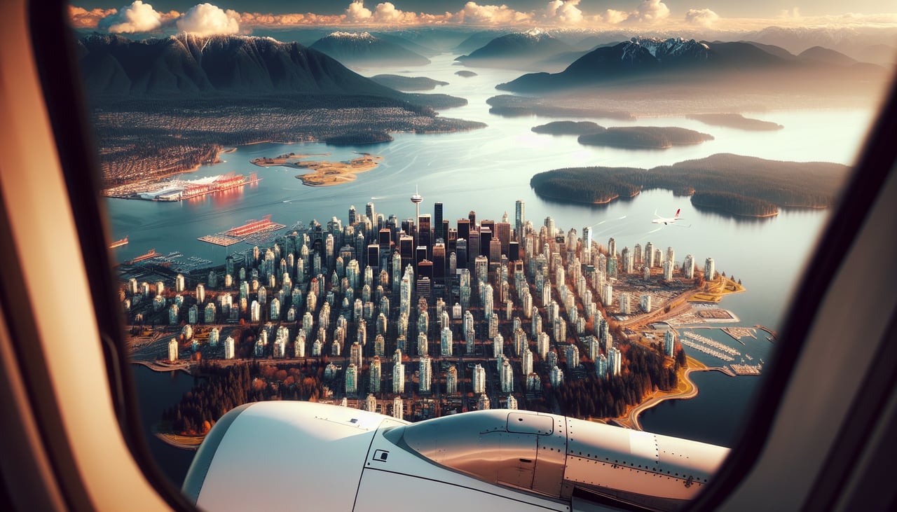
Landing at YVR
RIGHTDescending into Vancouver from the southeast, right-side seats offer views of the Cascade Range and North Shore Mountains as you approach. The final descent path brings these peaks into clear view on the right side before turning final toward the airport.
Landmarks on this routeAll landmarks →
Will your flight be in sunlight?
Pick a date and time in the Sun Map to watch the sun move across your whole flight.
About This Route
Which side of the plane should I sit on flying from Edward F Knapp State (MPV) to Vancouver International (YVR)?
Sit on the Right side of the plane for the best views on flights from Montpelier to Vancouver. While the takeoff offers Green and White Mountain views on the left, the landing approach on the right provides more dramatic scenery with the North Shore Mountains and Strait of Georgia. The right side captures the most visually distinctive portion of this transcontinental route.
What can I see during takeoff from Edward F Knapp State in Montpelier?
During takeoff from Edward F Knapp State (MPV), sit on the Left side for the best views. Climbing northwest from Montpelier, left-side seats face the Green Mountains and White Mountains as you gain altitude. The terrain rises immediately to the west and north, making this the scenic side during initial climb. Notable sights include: Green Mountains (Vermont), White Mountains (New Hampshire), Connecticut River valley, Lake Champlain (distant northwest).
What can I see when landing at Vancouver International in Vancouver?
When landing at Vancouver International (YVR), sit on the Right side for the best views. Descending into Vancouver from the southeast, right-side seats offer views of the Cascade Range and North Shore Mountains as you approach. The final descent path brings these peaks into clear view on the right side before turning final toward the airport. Notable sights include: North Shore Mountains (Grouse, Seymour, Cypress peaks), Cascade Range (distant), Strait of Georgia, Vancouver city grid.
How long is the flight from Montpelier to Vancouver?
The flight from Edward F Knapp State (MPV) to Vancouver International (YVR) takes about 6 hours 15 minutes. The shortest flight path between them is 2,378 miles (3,827 km); winds and air traffic control usually add a few percent.
What does the Montpelier to Vancouver flight path pass over?
Great Lakes region (Lake Ontario, Lake Erie visible on northern route), Appalachian ridges transitioning to Great Plains, Rocky Mountains (Canadian Rockies near destination), Flathead Lake area, Columbia River valley