Right side scores higher due to superior landing approach scenery with Piedmont topography, river valleys, and urban landmarks visible during descent. While left side offers compelling takeoff views of the Mississippi delta and New Orleans, the cruise segment over flat coastal plains and the landing approach over featureless terrain significantly reduce its overall score. Right side provides more consistent visual interest across the full flight duration.
Flown MSY to RDU? Did we get it right?
Flight Path
New Orleans to Raleigh-Durham is 779 miles (1,254 km), a flight of about 2 hours 15 minutes.
Coastal plains of Mississippi and Alabama, Mobile Bay area, Georgia-South Carolina border region with transition from flat coastal terrain to Piedmont foothills, Savannah River valley
Great circle distance and headings ›

Phase by phase
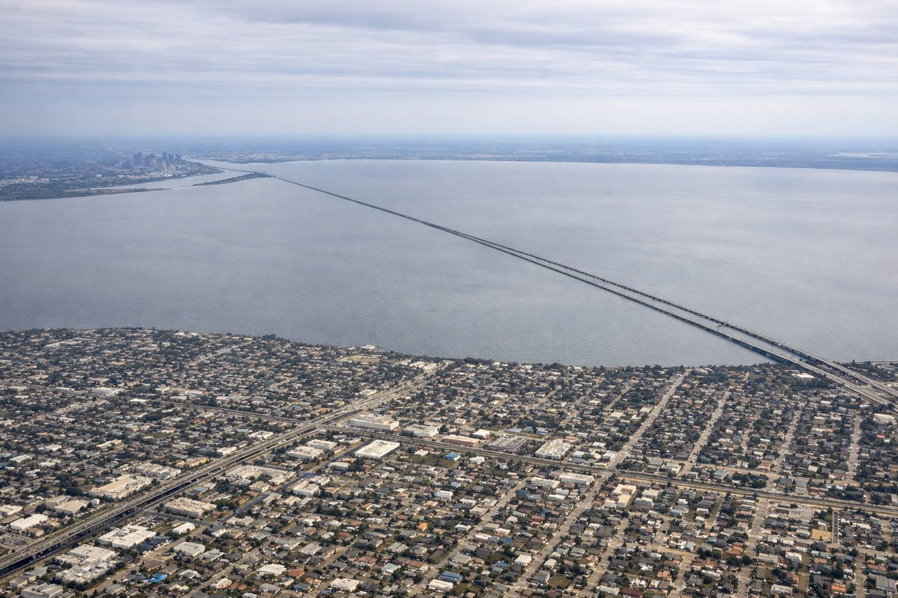
Takeoff from MSY
LEFTLeft side captures New Orleans' distinctive geography during departure: the Mississippi River delta, Lake Pontchartrain, and the city's crescent-shaped urban core along the river bend. Right side faces inland swamp and bayou with minimal visual landmarks.

Landing at RDU
RIGHTRight side offers superior landing approach scenery: the Piedmont terrain becomes visible with rolling hills, the Neuse River valley, and the urban sprawl of Raleigh-Durham. Left side shows only flat coastal plains and agricultural land with minimal topographic variation.
Will your flight be in sunlight?
Pick a date and time in the Sun Map to watch the sun move across your whole flight.
About This Route
Which side of the plane should I sit on flying from Louis Armstrong New Orleans International (MSY) to Raleigh Durham International (RDU)?
Sit on the Right side of the plane for the best views on flights from New Orleans to Raleigh-Durham. Right side scores higher due to superior landing approach scenery with Piedmont topography, river valleys, and urban landmarks visible during descent. While left side offers compelling takeoff views of the Mississippi delta and New Orleans, the cruise segment over flat coastal plains and the landing approach over featureless terrain significantly reduce its overall score. Right side provides more consistent visual interest across the full flight duration.
What can I see during takeoff from Louis Armstrong New Orleans International in New Orleans?
During takeoff from Louis Armstrong New Orleans International (MSY), sit on the Left side for the best views. Left side captures New Orleans' distinctive geography during departure: the Mississippi River delta, Lake Pontchartrain, and the city's crescent-shaped urban core along the river bend. Right side faces inland swamp and bayou with minimal visual landmarks. Notable sights include: Mississippi River delta and crescent, Lake Pontchartrain, New Orleans urban grid, Gulf of Mexico coastline.
What can I see when landing at Raleigh Durham International in Raleigh-Durham?
When landing at Raleigh Durham International (RDU), sit on the Right side for the best views. Right side offers superior landing approach scenery: the Piedmont terrain becomes visible with rolling hills, the Neuse River valley, and the urban sprawl of Raleigh-Durham. Left side shows only flat coastal plains and agricultural land with minimal topographic variation. Notable sights include: Neuse River valley, Piedmont foothills, Raleigh-Durham urban area, Research Triangle Park.
How long is the flight from New Orleans to Raleigh-Durham?
The flight from Louis Armstrong New Orleans International (MSY) to Raleigh Durham International (RDU) takes about 2 hours 15 minutes. The shortest flight path between them is 779 miles (1,254 km); winds and air traffic control usually add a few percent.
What does the New Orleans to Raleigh-Durham flight path pass over?
Coastal plains of Mississippi and Alabama, Mobile Bay area, Georgia-South Carolina border region with transition from flat coastal terrain to Piedmont foothills, Savannah River valley