While takeoff slightly favors the right side (Nagpur city views), the landing sequence on the left side provides significantly more dramatic scenery with the Tawi River gorge, Himalayan foothills, and valley approach. The landing experience outweighs the takeoff advantage, making left the better overall choice for this route.
Flown NAG to IXJ? Did we get it right?
Flight Path
Nagpur to Jammu is 842 miles (1,355 km), a flight of about 2 hours 15 minutes.
Wardha River valley, Ajanta Range foothills, transition from Deccan plateau to Indo-Gangetic plains, Satpura Range southern slopes, Narmada River valley (visible from altitude), Madhya Pradesh agricultural plains, gradual elevation gain toward Himalayan foothills
Great circle distance and headings ›Phase by phase
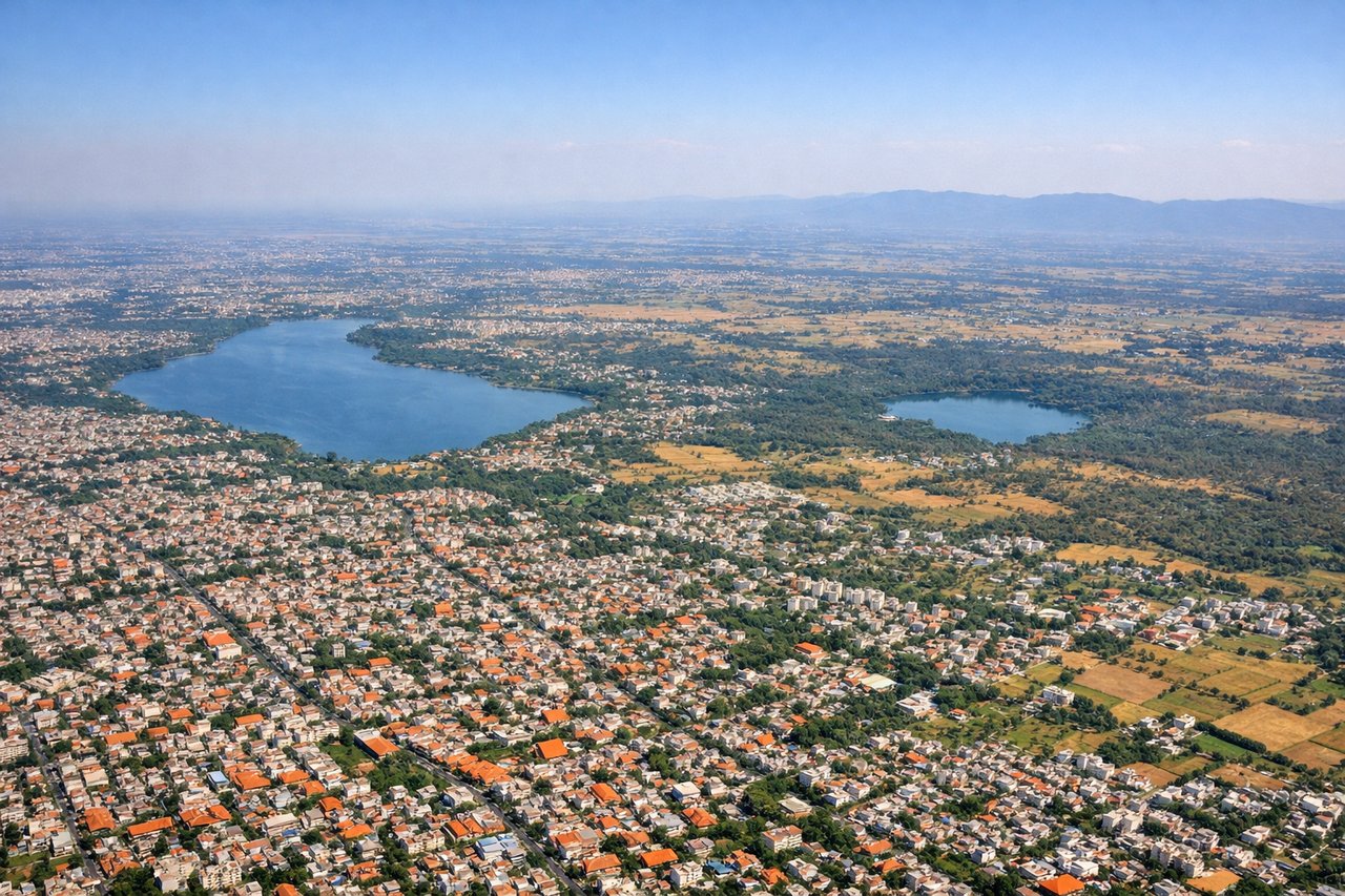
Takeoff from NAG
RIGHTRunway 32 (northwest departure) offers views of Nagpur city and surrounding agricultural plains. Runway 14 (southeast) departs over less developed terrain. Right side captures the urban sprawl and grid pattern of Nagpur during initial climb.
Landing at IXJ
LEFTApproach to Jammu typically descends from the south over the Tawi River valley and foothills of the Himalayas. Left side (west) provides views of the Tawi River gorge, Jammu city nestled in the valley, and the dramatic rise of the outer Himalayan ranges. Right side (east) shows less dramatic terrain.
Will your flight be in sunlight?
Pick a date and time in the Sun Map to watch the sun move across your whole flight.
About This Route
Which side of the plane should I sit on flying from Nagpur (NAG) to Jammu (IXJ)?
Sit on the Left side of the plane for the best views on flights from Nagpur to Jammu. While takeoff slightly favors the right side (Nagpur city views), the landing sequence on the left side provides significantly more dramatic scenery with the Tawi River gorge, Himalayan foothills, and valley approach. The landing experience outweighs the takeoff advantage, making left the better overall choice for this route.
What can I see during takeoff from Nagpur in Nagpur?
During takeoff from Nagpur (NAG), sit on the Right side for the best views. Runway 32 (northwest departure) offers views of Nagpur city and surrounding agricultural plains. Runway 14 (southeast) departs over less developed terrain. Right side captures the urban sprawl and grid pattern of Nagpur during initial climb. Notable sights include: Nagpur city grid and urban development, Futala Lake (visible as a water body within city limits), surrounding Vidarbha plateau agricultural fields.
What can I see when landing at Jammu in Jammu?
When landing at Jammu (IXJ), sit on the Left side for the best views. Approach to Jammu typically descends from the south over the Tawi River valley and foothills of the Himalayas. Left side (west) provides views of the Tawi River gorge, Jammu city nestled in the valley, and the dramatic rise of the outer Himalayan ranges. Right side (east) shows less dramatic terrain. Notable sights include: Tawi River valley and gorge, Jammu city in the valley floor, outer Himalayan foothills rising to the north, Bhadarwah Range in the distance.
How long is the flight from Nagpur to Jammu?
The flight from Nagpur (NAG) to Jammu (IXJ) takes about 2 hours 15 minutes. The shortest flight path between them is 842 miles (1,355 km); winds and air traffic control usually add a few percent.
What does the Nagpur to Jammu flight path pass over?
Wardha River valley, Ajanta Range foothills, transition from Deccan plateau to Indo-Gangetic plains, Satpura Range southern slopes, Narmada River valley (visible from altitude), Madhya Pradesh agricultural plains, gradual elevation gain toward Himalayan foothills