While takeoff from NAN offers scenic reef and island views on the right, the landing approach into SUV/Nausori on the left provides more dramatic and varied scenery—river delta systems, interior highlands, and coastal geography—making the overall flight experience better from left-side seats.
Flown NAN to SUV? Did we get it right?
Flight Path
Nandi to Nausori is 76 miles (123 km), a flight of about 50 minutes.
The flight path crosses the Koro Sea between the two airports. At midpoint, passengers may see the open ocean with occasional views of smaller islands in the Lomaiviti Group (Ovalau, Gau) depending on exact routing. The transition from Nadi's western coastal geography to Viti Levu's southeastern highlands and river systems occurs gradually over the central portion of the flight.
Great circle distance and headings ›Phase by phase
Takeoff from NAN
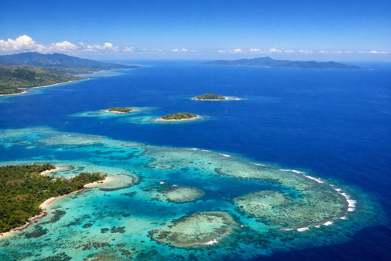
RIGHTRight-side seats offer views of Nadi's coastal geography and the Mamanuca Islands chain as the aircraft climbs eastward. The departure path from NAN typically heads east over shallow reef systems and island clusters before turning toward SUV.
Landing at SUV
LEFTLeft-side seats provide views during the descent approach into Nausori, which lies on Viti Levu's southeastern coast. The approach typically descends over Rewa Delta and the Koro Sea, with views of Viti Levu's interior highlands and the river system feeding into Suva Harbor.
Will your flight be in sunlight?
Pick a date and time in the Sun Map to watch the sun move across your whole flight.
About This Route
Which side of the plane should I sit on flying from Nadi International (NAN) to Nausori International (SUV)?
Sit on the Left side of the plane for the best views on flights from Nandi to Nausori. While takeoff from NAN offers scenic reef and island views on the right, the landing approach into SUV/Nausori on the left provides more dramatic and varied scenery—river delta systems, interior highlands, and coastal geography—making the overall flight experience better from left-side seats.
What can I see during takeoff from Nadi International in Nandi?
During takeoff from Nadi International (NAN), sit on the Right side for the best views. Right-side seats offer views of Nadi's coastal geography and the Mamanuca Islands chain as the aircraft climbs eastward. The departure path from NAN typically heads east over shallow reef systems and island clusters before turning toward SUV. Notable sights include: Mamanuca Islands (small volcanic islands dotting the shallow lagoon), Nadi Bay reef system, Viti Levu's western coastline, Sabeto Peninsula.
What can I see when landing at Nausori International in Nausori?
When landing at Nausori International (SUV), sit on the Left side for the best views. Left-side seats provide views during the descent approach into Nausori, which lies on Viti Levu's southeastern coast. The approach typically descends over Rewa Delta and the Koro Sea, with views of Viti Levu's interior highlands and the river system feeding into Suva Harbor. Notable sights include: Rewa River Delta (braided river channels and mangrove systems), Viti Levu's central highlands and ridge system, Suva Harbor entrance, Koro Sea.
How long is the flight from Nandi to Nausori?
The flight from Nadi International (NAN) to Nausori International (SUV) takes about 50 minutes. The shortest flight path between them is 76 miles (123 km); winds and air traffic control usually add a few percent.
What does the Nandi to Nausori flight path pass over?
The flight path crosses the Koro Sea between the two airports. At midpoint, passengers may see the open ocean with occasional views of smaller islands in the Lomaiviti Group (Ovalau, Gau) depending on exact routing. The transition from Nadi's western coastal geography to Viti Levu's southeastern highlands and river systems occurs gradually over the central portion of the flight.