The right side captures the two most memorable moments of the flight: Mount Fuji during the Narita departure and the Gulf of Thailand coastline plus Bangkok's delta sprawl on arrival, while the left side offers mostly featureless plains and open sea for both takeoff and landing.
Flown NRT to BKK? Did we get it right?
Flight Path
Tokyo to Bangkok is 2,889 miles (4,649 km), a flight of about 6 hours 30 minutes.
Cruise track passes over the East China Sea north of Taiwan, then across the South China Sea before crossing southern Vietnam and the Gulf of Thailand into Bangkok.
Great circle distance and headings ›


Phase by phase
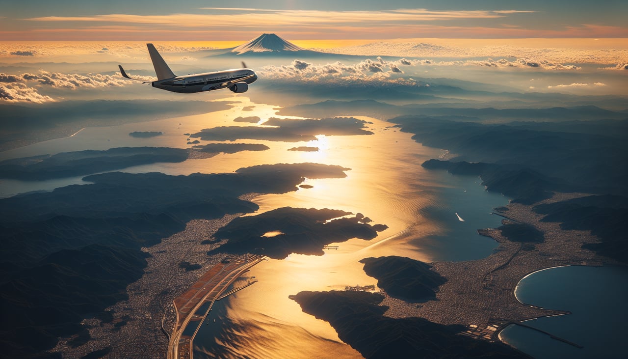
Takeoff from NRT
RIGHTClimbing out of Narita toward the southwest, the right side gives passengers a good chance at Mount Fuji's snow-capped cone rising above the Kanto plain, along with the Izu Peninsula's hills meeting the Pacific. The left side mostly shows flat Chiba farmland and open ocean.
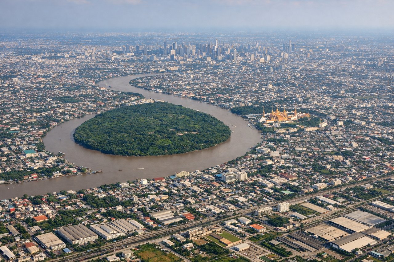
Landing at BKK
RIGHTOn approach into Suvarnabhumi from the south during the dry season pattern, the right side often reveals the Gulf of Thailand coastline and the sprawl of greater Bangkok's canals and low-rise suburbs before the turn onto final. The left side is dominated by flat agricultural land with fewer distinguishing features.
Will your flight be in sunlight?
Pick a date and time in the Sun Map to watch the sun move across your whole flight.
About This Route
Which side of the plane should I sit on flying from New Tokyo International (NRT) to Suvarnabhumi Airport (BKK)?
Sit on the Right side of the plane for the best views on flights from Tokyo to Bangkok. The right side captures the two most memorable moments of the flight: Mount Fuji during the Narita departure and the Gulf of Thailand coastline plus Bangkok's delta sprawl on arrival, while the left side offers mostly featureless plains and open sea for both takeoff and landing.
What can I see during takeoff from New Tokyo International in Tokyo?
During takeoff from New Tokyo International (NRT), sit on the Right side for the best views. Climbing out of Narita toward the southwest, the right side gives passengers a good chance at Mount Fuji's snow-capped cone rising above the Kanto plain, along with the Izu Peninsula's hills meeting the Pacific. The left side mostly shows flat Chiba farmland and open ocean. Notable sights include: Mount Fuji, Izu Peninsula, Sagami Bay coastline, Tokyo Bay industrial waterfront.
What can I see when landing at Suvarnabhumi Airport in Bangkok?
When landing at Suvarnabhumi Airport (BKK), sit on the Right side for the best views. On approach into Suvarnabhumi from the south during the dry season pattern, the right side often reveals the Gulf of Thailand coastline and the sprawl of greater Bangkok's canals and low-rise suburbs before the turn onto final. The left side is dominated by flat agricultural land with fewer distinguishing features. Notable sights include: Gulf of Thailand coastline, Chao Phraya River delta, Bangkok's eastern suburbs, aquaculture ponds near the coast.
How long is the flight from Tokyo to Bangkok?
The flight from New Tokyo International (NRT) to Suvarnabhumi Airport (BKK) takes about 6 hours 30 minutes. The shortest flight path between them is 2,889 miles (4,649 km); winds and air traffic control usually add a few percent.
What does the Tokyo to Bangkok flight path pass over?
Cruise track passes over the East China Sea north of Taiwan, then across the South China Sea before crossing southern Vietnam and the Gulf of Thailand into Bangkok.