The right side delivers Maui's mountain scenery on departure and the Big Island's volcanic lava fields and Hualalai on arrival, while the left side is dominated by open ocean and the less distinctive windward coast for most of this short interisland hop.
Flight Path
Kahului to Kona is 84 miles (135 km), a flight of about 35 minutes.
Alenuihaha Channel between Maui and the Big Island, with Haleakala visible behind and the Kohala Mountains and Mauna Kea's summit ahead
Great circle distance and headings ›.jpg?width=600)

Phase by phase
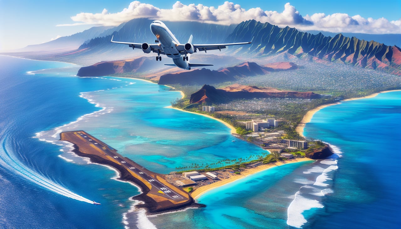
Takeoff from OGG
RIGHTDeparting OGG, the right side shows the West Maui Mountains and Kahului Harbor falling away as the aircraft climbs south, giving a last clear look at Maui's volcanic ridgelines before crossing open water. The left side mostly shows flat cane fields and open ocean toward the windward coast.
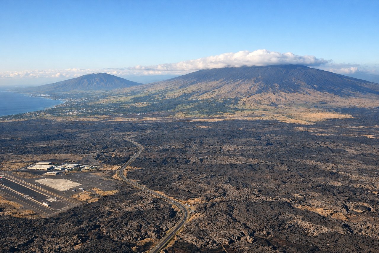
Landing at KOA
RIGHTOn approach into Kona, the aircraft tracks down the leeward Kohala-Kona coastline, and the right side faces the dramatic black lava fields, Hualalai volcano, and the resort-dotted coast as the plane descends. The left side faces open ocean with little to see until touchdown.
Landmarks on this routeAll landmarks →
Will your flight be in sunlight?
Pick a date and time in the Sun Map to watch the sun move across your whole flight.
About This Route
Which side of the plane should I sit on flying from Kahului (OGG) to Kona International At Keahole (KOA)?
Sit on the Right side of the plane for the best views on flights from Kahului to Kona. The right side delivers Maui's mountain scenery on departure and the Big Island's volcanic lava fields and Hualalai on arrival, while the left side is dominated by open ocean and the less distinctive windward coast for most of this short interisland hop.
What can I see during takeoff from Kahului in Kahului?
During takeoff from Kahului (OGG), sit on the Right side for the best views. Departing OGG, the right side shows the West Maui Mountains and Kahului Harbor falling away as the aircraft climbs south, giving a last clear look at Maui's volcanic ridgelines before crossing open water. The left side mostly shows flat cane fields and open ocean toward the windward coast. Notable sights include: West Maui Mountains, Kahului Harbor, Maalaea Bay, Haleakala's lower slopes.
What can I see when landing at Kona International At Keahole in Kona?
When landing at Kona International At Keahole (KOA), sit on the Right side for the best views. On approach into Kona, the aircraft tracks down the leeward Kohala-Kona coastline, and the right side faces the dramatic black lava fields, Hualalai volcano, and the resort-dotted coast as the plane descends. The left side faces open ocean with little to see until touchdown. Notable sights include: Hualalai volcano, Kohala coast lava fields, Kona coastline resorts, Keahole Point.
How long is the flight from Kahului to Kona?
The flight from Kahului (OGG) to Kona International At Keahole (KOA) takes about 35 minutes. The shortest flight path between them is 84 miles (135 km); winds and air traffic control usually add a few percent.
What does the Kahului to Kona flight path pass over?
Alenuihaha Channel between Maui and the Big Island, with Haleakala visible behind and the Kohala Mountains and Mauna Kea's summit ahead