The right side wins on both ends of the flight — Mount Hood at departure and the Philadelphia skyline/Delaware River at arrival — plus better odds of seeing the Rockies' foothills near Yellowstone during cruise, while the left side offers comparatively flat, less distinctive terrain for most of the route.
Flown PDX to PHL? Did we get it right?
Flight Path
Portland to Philadelphia is 2,400 miles (3,863 km), a flight of about 5 hours 5 minutes.
Flight path crosses the northern Rockies near the Idaho-Montana border and the Yellowstone/Grand Teton region, then flattens out over the Great Plains of Wyoming, South Dakota, and Nebraska, with the Missouri River and Black Hills visible near the geographic midpoint before the terrain gives way to the Midwest's farmland.
Great circle distance and headings ›


Phase by phase
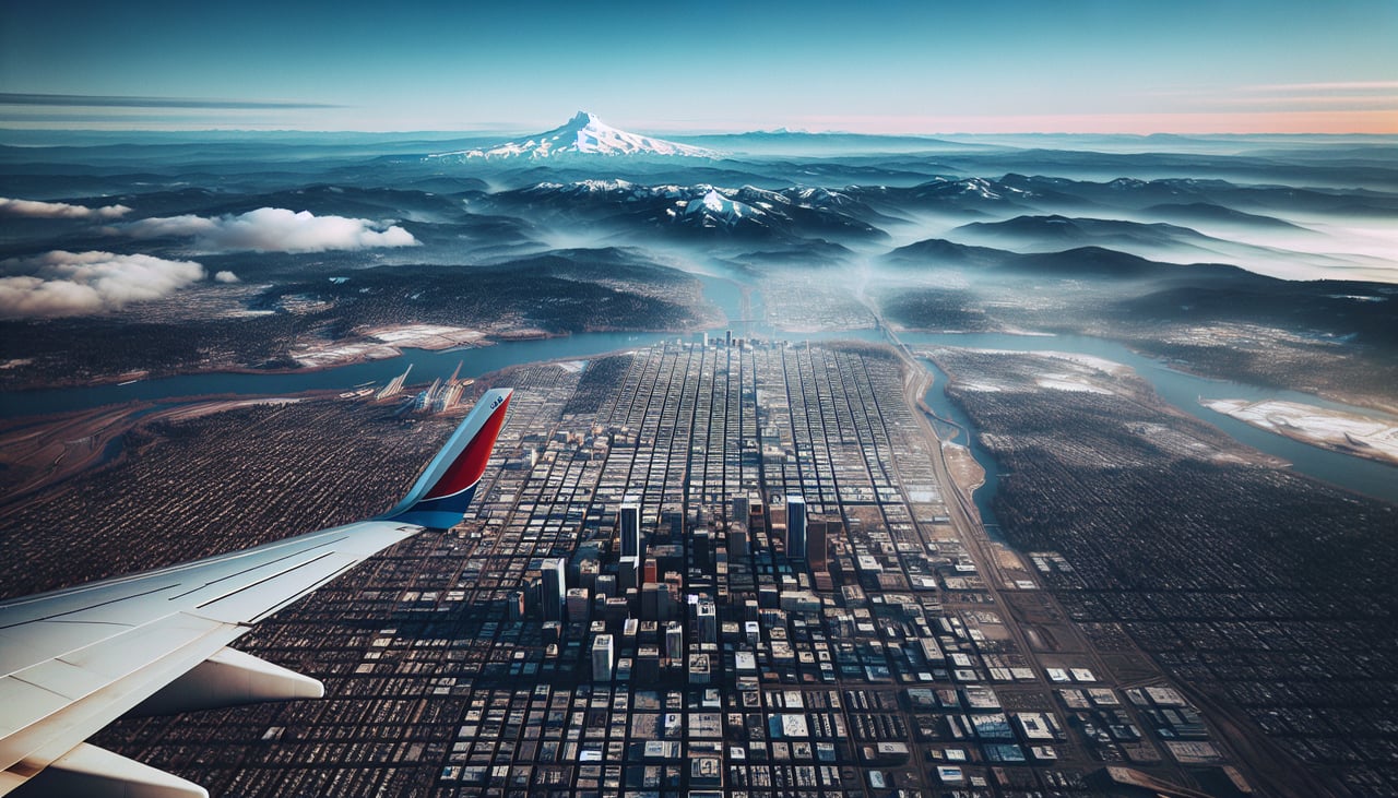
Takeoff from PDX
RIGHTDeparting PDX to the west before turning onto an eastbound heading brings Mount Hood's snow-capped cone into clear view on the right side of the aircraft, with the Willamette Valley farmland spreading below. The left side only offers a distant, smaller glimpse of Mount St. Helens before it's lost behind the wing.

Landing at PHL
RIGHTArrivals into PHL landing to the west typically loop around to approach from the east, carrying the aircraft over the Delaware River with Philadelphia's Center City skyline visible off the right side. The left side mostly shows flat New Jersey suburbs and marshland with no comparable landmark.
Will your flight be in sunlight?
Pick a date and time in the Sun Map to watch the sun move across your whole flight.
About This Route
Which side of the plane should I sit on flying from Portland International (PDX) to Philadelphia International (PHL)?
Sit on the Right side of the plane for the best views on flights from Portland to Philadelphia. The right side wins on both ends of the flight — Mount Hood at departure and the Philadelphia skyline/Delaware River at arrival — plus better odds of seeing the Rockies' foothills near Yellowstone during cruise, while the left side offers comparatively flat, less distinctive terrain for most of the route.
What can I see during takeoff from Portland International in Portland?
During takeoff from Portland International (PDX), sit on the Right side for the best views. Departing PDX to the west before turning onto an eastbound heading brings Mount Hood's snow-capped cone into clear view on the right side of the aircraft, with the Willamette Valley farmland spreading below. The left side only offers a distant, smaller glimpse of Mount St. Helens before it's lost behind the wing. Notable sights include: Mount Hood, Willamette River, Willamette Valley farmland, Columbia River (distant).
What can I see when landing at Philadelphia International in Philadelphia?
When landing at Philadelphia International (PHL), sit on the Right side for the best views. Arrivals into PHL landing to the west typically loop around to approach from the east, carrying the aircraft over the Delaware River with Philadelphia's Center City skyline visible off the right side. The left side mostly shows flat New Jersey suburbs and marshland with no comparable landmark. Notable sights include: Philadelphia skyline, Delaware River, Benjamin Franklin Bridge, Camden waterfront.
How long is the flight from Portland to Philadelphia?
The flight from Portland International (PDX) to Philadelphia International (PHL) takes about 5 hours 5 minutes. The shortest flight path between them is 2,400 miles (3,863 km); winds and air traffic control usually add a few percent.
What does the Portland to Philadelphia flight path pass over?
Flight path crosses the northern Rockies near the Idaho-Montana border and the Yellowstone/Grand Teton region, then flattens out over the Great Plains of Wyoming, South Dakota, and Nebraska, with the Missouri River and Black Hills visible near the geographic midpoint before the terrain gives way to the Midwest's farmland.