Right side scores higher due to superior scenic content on both takeoff and landing. Departure captures Perth's dramatic coastline and harbor; the cruise phase over the Indian Ocean and across the Pacific offers consistent water views with occasional island chains; arrival into Vancouver showcases the North Shore Mountains and Burrard Inlet—genuine alpine and coastal drama. Left side is dominated by flat terrain, inland scrubland, and open ocean with minimal landmark density.
Flown PER to YVR? Did we get it right?
Flight Path
Perth to Vancouver is 9,205 miles (14,813 km), a flight of about 17 hours 15 minutes.
Indian Ocean (open water for 8+ hours with occasional views of the Cocos Islands and Christmas Island if flight path permits), Equatorial Pacific crossing, Hawaiian Islands (if visible during cruise at altitude—typically too distant for clear detail), Cascade Range and Sierra Nevada mountains during approach to North America
Great circle distance and headings ›Phase by phase
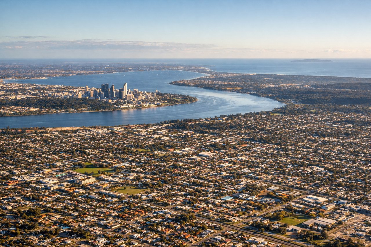
Takeoff from PER
RIGHTRight side captures Perth's Indian Ocean coastline and the Swan River estuary during initial climb. Left side faces inland toward flat, featureless scrubland with minimal visual interest during the critical departure phase.
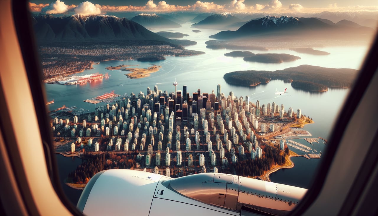
Landing at YVR
RIGHTRight side offers the superior approach experience into Vancouver. Descending from the east, passengers see the North Shore Mountains, Burrard Inlet, and the city skyline. Left side faces the flat Fraser River delta and suburban sprawl with minimal dramatic terrain.
Will your flight be in sunlight?
Pick a date and time in the Sun Map to watch the sun move across your whole flight.
About This Route
Which side of the plane should I sit on flying from Perth International (PER) to Vancouver International (YVR)?
Sit on the Right side of the plane for the best views on flights from Perth to Vancouver. Right side scores higher due to superior scenic content on both takeoff and landing. Departure captures Perth's dramatic coastline and harbor; the cruise phase over the Indian Ocean and across the Pacific offers consistent water views with occasional island chains; arrival into Vancouver showcases the North Shore Mountains and Burrard Inlet—genuine alpine and coastal drama. Left side is dominated by flat terrain, inland scrubland, and open ocean with minimal landmark density.
What can I see during takeoff from Perth International in Perth?
During takeoff from Perth International (PER), sit on the Right side for the best views. Right side captures Perth's Indian Ocean coastline and the Swan River estuary during initial climb. Left side faces inland toward flat, featureless scrubland with minimal visual interest during the critical departure phase. Notable sights include: Swan River estuary, Fremantle Harbor, Indian Ocean coastline, Perth city skyline.
What can I see when landing at Vancouver International in Vancouver?
When landing at Vancouver International (YVR), sit on the Right side for the best views. Right side offers the superior approach experience into Vancouver. Descending from the east, passengers see the North Shore Mountains, Burrard Inlet, and the city skyline. Left side faces the flat Fraser River delta and suburban sprawl with minimal dramatic terrain. Notable sights include: North Shore Mountains (Grouse, Seymour, Cypress peaks), Burrard Inlet, Vancouver downtown skyline, Stanley Park.
How long is the flight from Perth to Vancouver?
The flight from Perth International (PER) to Vancouver International (YVR) takes about 17 hours 15 minutes. The shortest flight path between them is 9,205 miles (14,813 km); winds and air traffic control usually add a few percent.
What does the Perth to Vancouver flight path pass over?
Indian Ocean (open water for 8+ hours with occasional views of the Cocos Islands and Christmas Island if flight path permits), Equatorial Pacific crossing, Hawaiian Islands (if visible during cruise at altitude—typically too distant for clear detail), Cascade Range and Sierra Nevada mountains during approach to North America