Phoenix to Monterrey is 888 miles (1,429 km), a flight of about 2 hours 15 minutes.
Right-side seats dominate this route. Takeoff offers excellent views of Phoenix's urban-desert transition and the Superstition Mountains. The flight path south crosses the Sonoran Desert with occasional views of isolated peaks. Landing on the left is secondary, but the right side's takeoff scenery is more visually compelling and sustained.
Flight Path
The flight crosses the Sonoran Desert south of Phoenix, passing east of the Gila River valley. Notable features include the Rincon Mountains (visible to the east from the flight path), and the transition from Arizona's saguaro-studded desert into Sonora's more arid landscape. As the aircraft approaches Monterrey, the Sierra Madre Oriental becomes increasingly prominent, with the terrain rising from desert scrubland into forested foothills. The Cerro de la Silla becomes visible roughly 30 miles north of Monterrey, serving as a landmark for the final descent into the valley.
Great circle distance and headings ›Phase by phase
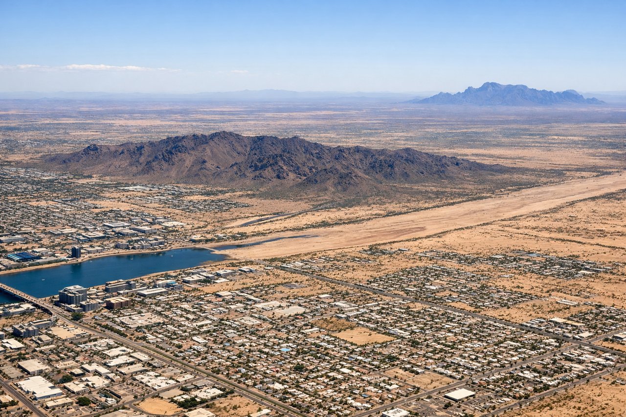
Takeoff from PHX
RIGHTRight-side seats capture the Salt River Valley and the Phoenix metropolitan area spreading eastward, plus the distant Four Peaks on the horizon. The climb-out path typically heads southeast, making the right side ideal for viewing the city grid and surrounding desert terrain.
Landing at MTY
LEFTLeft-side seats offer views of the Sierra Madre Oriental foothills and the approach into Monterrey's valley. The descent path typically brings aircraft in from the north, so left-side windows show the mountainous terrain west of the airport and the city nestled in its basin.
Will your flight be in sunlight?
Pick a date and time in the Sun Map to watch the sun move across your whole flight.
About This Route
Which side of the plane should I sit on flying from Phoenix Sky Harbor International (PHX) to General Mariano Escobedo International (MTY)?
Sit on the Right side of the plane for the best views on flights from Phoenix to Monterrey. Right-side seats dominate this route. Takeoff offers excellent views of Phoenix's urban-desert transition and the Superstition Mountains. The flight path south crosses the Sonoran Desert with occasional views of isolated peaks. Landing on the left is secondary, but the right side's takeoff scenery is more visually compelling and sustained.
What can I see during takeoff from Phoenix Sky Harbor International in Phoenix?
During takeoff from Phoenix Sky Harbor International (PHX), sit on the Right side for the best views. Right-side seats capture the Salt River Valley and the Phoenix metropolitan area spreading eastward, plus the distant Four Peaks on the horizon. The climb-out path typically heads southeast, making the right side ideal for viewing the city grid and surrounding desert terrain. Notable sights include: Phoenix downtown skyline, Salt River Valley floor, Four Peaks (Mazatzal Range), Superstition Mountains (distant eastern horizon).
What can I see when landing at General Mariano Escobedo International in Monterrey?
When landing at General Mariano Escobedo International (MTY), sit on the Left side for the best views. Left-side seats offer views of the Sierra Madre Oriental foothills and the approach into Monterrey's valley. The descent path typically brings aircraft in from the north, so left-side windows show the mountainous terrain west of the airport and the city nestled in its basin. Notable sights include: Sierra Madre Oriental peaks, Barrio Antiguo (historic Monterrey center), Cerro de la Silla (iconic saddle-shaped peak), Monterrey metropolitan sprawl.
How long is the flight from Phoenix to Monterrey?
The flight from Phoenix Sky Harbor International (PHX) to General Mariano Escobedo International (MTY) takes about 2 hours 15 minutes. The shortest flight path between them is 888 miles (1,429 km); winds and air traffic control usually add a few percent.
What does the Phoenix to Monterrey flight path pass over?
The flight crosses the Sonoran Desert south of Phoenix, passing east of the Gila River valley. Notable features include the Rincon Mountains (visible to the east from the flight path), and the transition from Arizona's saguaro-studded desert into Sonora's more arid landscape. As the aircraft approaches Monterrey, the Sierra Madre Oriental becomes increasingly prominent, with the terrain rising from desert scrubland into forested foothills. The Cerro de la Silla becomes visible roughly 30 miles north of Monterrey, serving as a landmark for the final descent into the valley.