With roughly 13 hours of open Pacific Ocean dominating the cruise on both sides, the deciding factor is the departure and arrival scenery; the right side's low-altitude pass over central Phoenix with its skyline and desert mountains is a more sustained and vivid sequence than the brief, distant mountain glimpse on landing's left side.
Flown PHX to TPE? Did we get it right?
Flight Path
Phoenix to Taipei is 7,092 miles (11,413 km), a flight of about 13 hours 50 minutes.
The route crosses the vast North Pacific Ocean for the majority of the flight, generally trending northwest from the U.S. Southwest before curving back southwest toward East Asia; the flight path passes well south of the Aleutians and eventually nears the Ryukyu Island chain (Okinawa) before descending toward Taiwan, with no major landmasses visible for most of the crossing.
Great circle distance and headings ›


Phase by phase
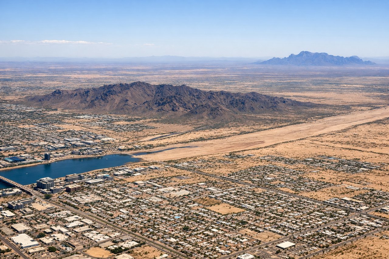
Takeoff from PHX
RIGHTDeparting PHX in the common west-flow pattern, the aircraft climbs out over the city and typically banks north to pick up its Pacific-bound heading, putting Phoenix's downtown skyline and its signature desert buttes on the right side. The left side only shows the flatter South Mountain Park and open Sonoran desert.
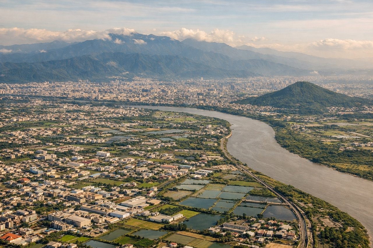
Landing at TPE
LEFTOn the typical northeast-wind approach into Taoyuan (runway 23), the aircraft descends from over the Taipei area toward the southwest, so the left side faces inland, revealing the green foothills of Taiwan's Central Mountain Range and the Taipei basin. The right side mainly faces the flat waters of the Taiwan Strait.
Will your flight be in sunlight?
Pick a date and time in the Sun Map to watch the sun move across your whole flight.
About This Route
Which side of the plane should I sit on flying from Phoenix Sky Harbor International (PHX) to Chiang Kai Shek International (TPE)?
Sit on the Right side of the plane for the best views on flights from Phoenix to Taipei. With roughly 13 hours of open Pacific Ocean dominating the cruise on both sides, the deciding factor is the departure and arrival scenery; the right side's low-altitude pass over central Phoenix with its skyline and desert mountains is a more sustained and vivid sequence than the brief, distant mountain glimpse on landing's left side.
What can I see during takeoff from Phoenix Sky Harbor International in Phoenix?
During takeoff from Phoenix Sky Harbor International (PHX), sit on the Right side for the best views. Departing PHX in the common west-flow pattern, the aircraft climbs out over the city and typically banks north to pick up its Pacific-bound heading, putting Phoenix's downtown skyline and its signature desert buttes on the right side. The left side only shows the flatter South Mountain Park and open Sonoran desert. Notable sights include: Downtown Phoenix skyline, Camelback Mountain, Piestewa Peak, McDowell Mountains in the distance.
What can I see when landing at Chiang Kai Shek International in Taipei?
When landing at Chiang Kai Shek International (TPE), sit on the Left side for the best views. On the typical northeast-wind approach into Taoyuan (runway 23), the aircraft descends from over the Taipei area toward the southwest, so the left side faces inland, revealing the green foothills of Taiwan's Central Mountain Range and the Taipei basin. The right side mainly faces the flat waters of the Taiwan Strait. Notable sights include: Central Mountain Range foothills, Taipei basin, terraced farmland, northern Taiwan coastline.
How long is the flight from Phoenix to Taipei?
The flight from Phoenix Sky Harbor International (PHX) to Chiang Kai Shek International (TPE) takes about 13 hours 50 minutes. The shortest flight path between them is 7,092 miles (11,413 km); winds and air traffic control usually add a few percent.
What does the Phoenix to Taipei flight path pass over?
The route crosses the vast North Pacific Ocean for the majority of the flight, generally trending northwest from the U.S. Southwest before curving back southwest toward East Asia; the flight path passes well south of the Aleutians and eventually nears the Ryukyu Island chain (Okinawa) before descending toward Taiwan, with no major landmasses visible for most of the crossing.