Right-side seats capture the most dramatic scenery at departure (Panama Canal and Gatun Lake), which is the most visually distinctive portion of this route. While Lake Ontario favors the left on descent, the takeoff views are more geographically unique and memorable.
Flown PTY to YYZ? Did we get it right?
Flight Path
Panama City to Toronto is 2,391 miles (3,848 km), a flight of about 5 hours.
The flight path crosses the Caribbean Sea and Gulf of Mexico, then tracks over the southeastern United States. Notable features include the Yucatan Peninsula (visible as a low landmass if flying slightly south of direct routing), the Florida peninsula and coastline, the Appalachian Mountains in the eastern U.S. (visible as subtle ridges during descent into Ontario), and the Great Lakes system. Most of the mid-flight segment occurs over open water or sparse terrain with limited dramatic landmarks.
Great circle distance and headings ›


Phase by phase

Takeoff from PTY
RIGHTRight-side seats capture the Panama Canal and Gatun Lake during initial climb. The aircraft departs eastbound from Tocumen, and the canal system lies directly north of the airport, visible within the first 10-15 minutes of flight.
Landing at YYZ
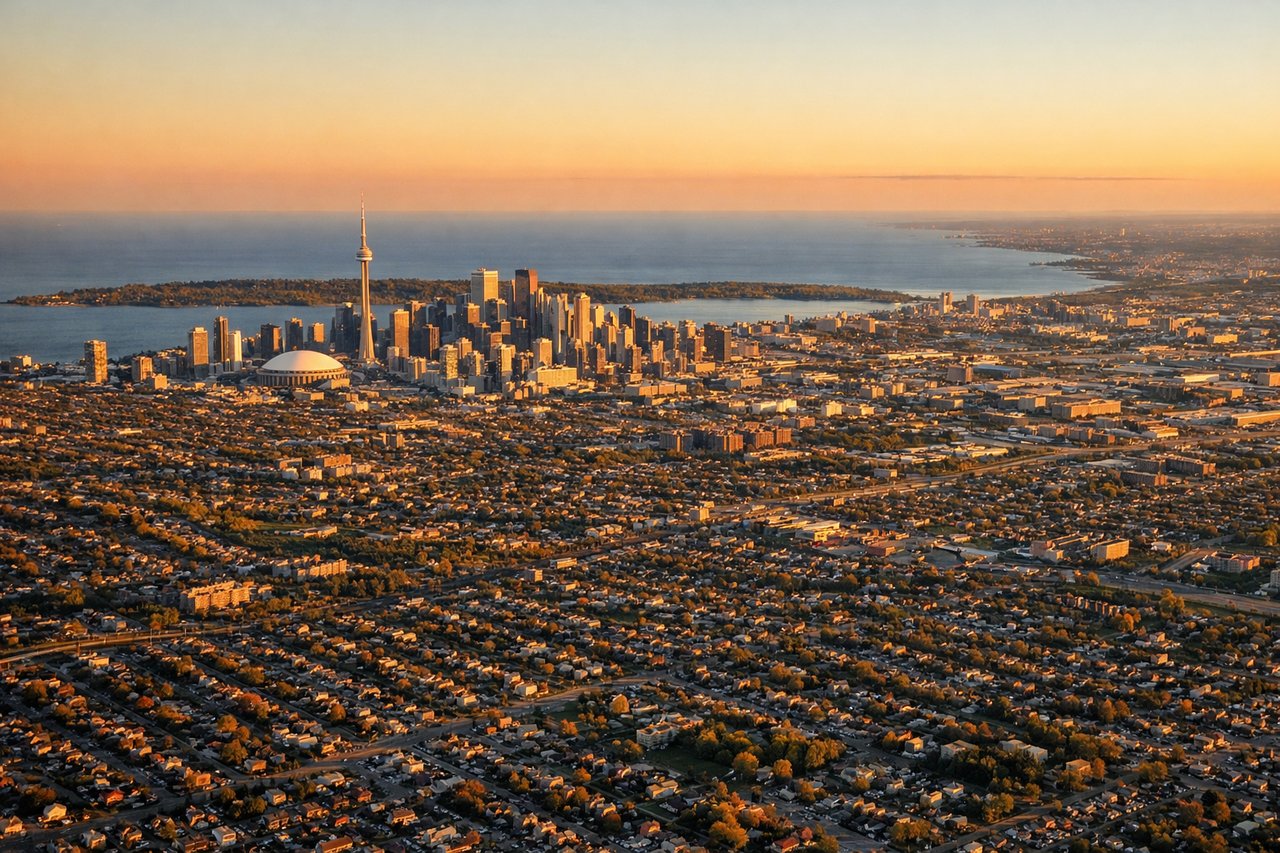
LEFTLeft-side seats offer views of the Great Lakes during descent into Toronto. The aircraft approaches from the southwest, and Lake Ontario dominates the final 30 minutes of descent, with the Toronto waterfront and downtown skyline visible on the left side.
Will your flight be in sunlight?
Pick a date and time in the Sun Map to watch the sun move across your whole flight.
About This Route
Which side of the plane should I sit on flying from Tocumen International (PTY) to Lester B Pearson International (YYZ)?
Sit on the Right side of the plane for the best views on flights from Panama City to Toronto. Right-side seats capture the most dramatic scenery at departure (Panama Canal and Gatun Lake), which is the most visually distinctive portion of this route. While Lake Ontario favors the left on descent, the takeoff views are more geographically unique and memorable.
What can I see during takeoff from Tocumen International in Panama City?
During takeoff from Tocumen International (PTY), sit on the Right side for the best views. Right-side seats capture the Panama Canal and Gatun Lake during initial climb. The aircraft departs eastbound from Tocumen, and the canal system lies directly north of the airport, visible within the first 10-15 minutes of flight. Notable sights include: Panama Canal (Gatun Locks and Gatun Lake), Colón city on the Caribbean coast, Darién Gap rainforest to the southeast.
What can I see when landing at Lester B Pearson International in Toronto?
When landing at Lester B Pearson International (YYZ), sit on the Left side for the best views. Left-side seats offer views of the Great Lakes during descent into Toronto. The aircraft approaches from the southwest, and Lake Ontario dominates the final 30 minutes of descent, with the Toronto waterfront and downtown skyline visible on the left side. Notable sights include: Lake Ontario, Niagara Escarpment (southern Ontario ridge), Toronto downtown and waterfront, Hamilton and the western Lake Ontario shoreline.
How long is the flight from Panama City to Toronto?
The flight from Tocumen International (PTY) to Lester B Pearson International (YYZ) takes about 5 hours. The shortest flight path between them is 2,391 miles (3,848 km); winds and air traffic control usually add a few percent.
What does the Panama City to Toronto flight path pass over?
The flight path crosses the Caribbean Sea and Gulf of Mexico, then tracks over the southeastern United States. Notable features include the Yucatan Peninsula (visible as a low landmass if flying slightly south of direct routing), the Florida peninsula and coastline, the Appalachian Mountains in the eastern U.S. (visible as subtle ridges during descent into Ontario), and the Great Lakes system. Most of the mid-flight segment occurs over open water or sparse terrain with limited dramatic landmarks.