Rapid City to Denver is 307 miles (494 km), a flight of about 1 hour 10 minutes.
While the left side wins at takeoff for the Black Hills view, the right side delivers the more dramatic payoff on approach into Denver with the full Front Range panorama. Switching to right for landing is the priority move on this route.
Flight Path
The flight crosses the high plains of eastern Wyoming and northeastern Colorado — largely flat shortgrass prairie at 4,000-5,500 ft elevation. The Laramie Range is visible to the west as a low ridge. The Cheyenne area appears below roughly two-thirds through the flight. As you approach Denver, the terrain begins its subtle rise toward the Front Range and the Rocky Mountain foothills become visible on the western horizon.
Great circle distance and headings ›Phase by phase
Takeoff from RCA
LEFTEllsworth AFB runways are oriented roughly northeast-southwest. Departing southwest toward Denver, the left (south) side gives you a clear view of the Black Hills rising dramatically from the plains, with Harney Peak and the surrounding forested ridgelines visible. The right side faces open prairie with little of interest.
Landing at DEN
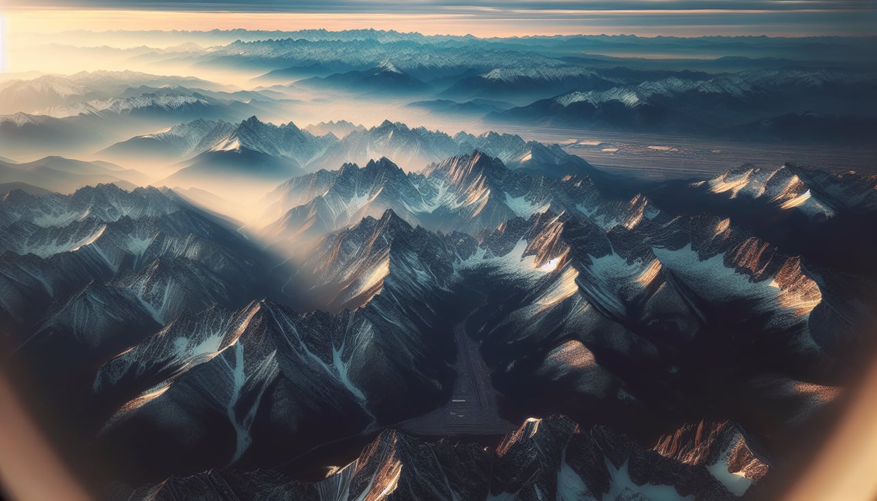
RIGHTDenver International sits east of the city, and aircraft typically approach from the north or northeast on runways oriented north-south. On approach from the north, the right (west) side gives a sweeping view of the entire Front Range — from Longs Peak down through the Denver metro foothills — while the left side looks east over the flat eastern plains.
Landmarks on this routeAll landmarks →
Will your flight be in sunlight?
Pick a date and time in the Sun Map to watch the sun move across your whole flight.
About This Route
Which side of the plane should I sit on flying from Ellsworth Afb (RCA) to Denver International (DEN)?
Sit on the Right side of the plane for the best views on flights from Rapid City to Denver. While the left side wins at takeoff for the Black Hills view, the right side delivers the more dramatic payoff on approach into Denver with the full Front Range panorama. Switching to right for landing is the priority move on this route.
What can I see during takeoff from Ellsworth Afb in Rapid City?
During takeoff from Ellsworth Afb (RCA), sit on the Left side for the best views. Ellsworth AFB runways are oriented roughly northeast-southwest. Departing southwest toward Denver, the left (south) side gives you a clear view of the Black Hills rising dramatically from the plains, with Harney Peak and the surrounding forested ridgelines visible. The right side faces open prairie with little of interest. Notable sights include: Black Hills ridgeline, Harney Peak (Black Elk Peak) at 7,244 ft, the forested escarpment dropping to the Badlands plateau to the southeast.
What can I see when landing at Denver International in Denver?
When landing at Denver International (DEN), sit on the Right side for the best views. Denver International sits east of the city, and aircraft typically approach from the north or northeast on runways oriented north-south. On approach from the north, the right (west) side gives a sweeping view of the entire Front Range — from Longs Peak down through the Denver metro foothills — while the left side looks east over the flat eastern plains. Notable sights include: Front Range of the Rocky Mountains (Longs Peak, Mount Evans, Pikes Peak visible to the south), Denver city skyline to the west, Cherry Creek Reservoir.
How long is the flight from Rapid City to Denver?
The flight from Ellsworth Afb (RCA) to Denver International (DEN) takes about 1 hour 10 minutes. The shortest flight path between them is 307 miles (494 km); winds and air traffic control usually add a few percent.
What does the Rapid City to Denver flight path pass over?
The flight crosses the high plains of eastern Wyoming and northeastern Colorado — largely flat shortgrass prairie at 4,000-5,500 ft elevation. The Laramie Range is visible to the west as a low ridge. The Cheyenne area appears below roughly two-thirds through the flight. As you approach Denver, the terrain begins its subtle rise toward the Front Range and the Rocky Mountain foothills become visible on the western horizon.