Rapid City to Los Angeles is 1,079 miles (1,737 km), a flight of about 2 hours 45 minutes.
Right-side seats capture the most dramatic scenery: the Black Hills and high plains during departure, then the Rocky Mountain Front and high desert terrain during the long westbound cruise across Wyoming and Utah. Left-side seats only become scenic during the final descent into Los Angeles.
Flight Path
Wyoming high plains and basins, Bighorn Mountains (north of flight path), Great Divide Basin, Utah's high desert plateau, Wasatch Range (south of typical approach), Great Salt Lake (north of typical approach), transition from high elevation terrain to lower Mojave Desert as aircraft approaches California
Great circle distance and headings ›.jpg?width=600)


.jpg?width=600)
Phase by phase
Takeoff from RCA
RIGHTRight-side seats offer immediate views of the Black Hills and surrounding high plains as the aircraft climbs westbound from Rapid City. The terrain rises dramatically to the west, making this the scenic side during departure.
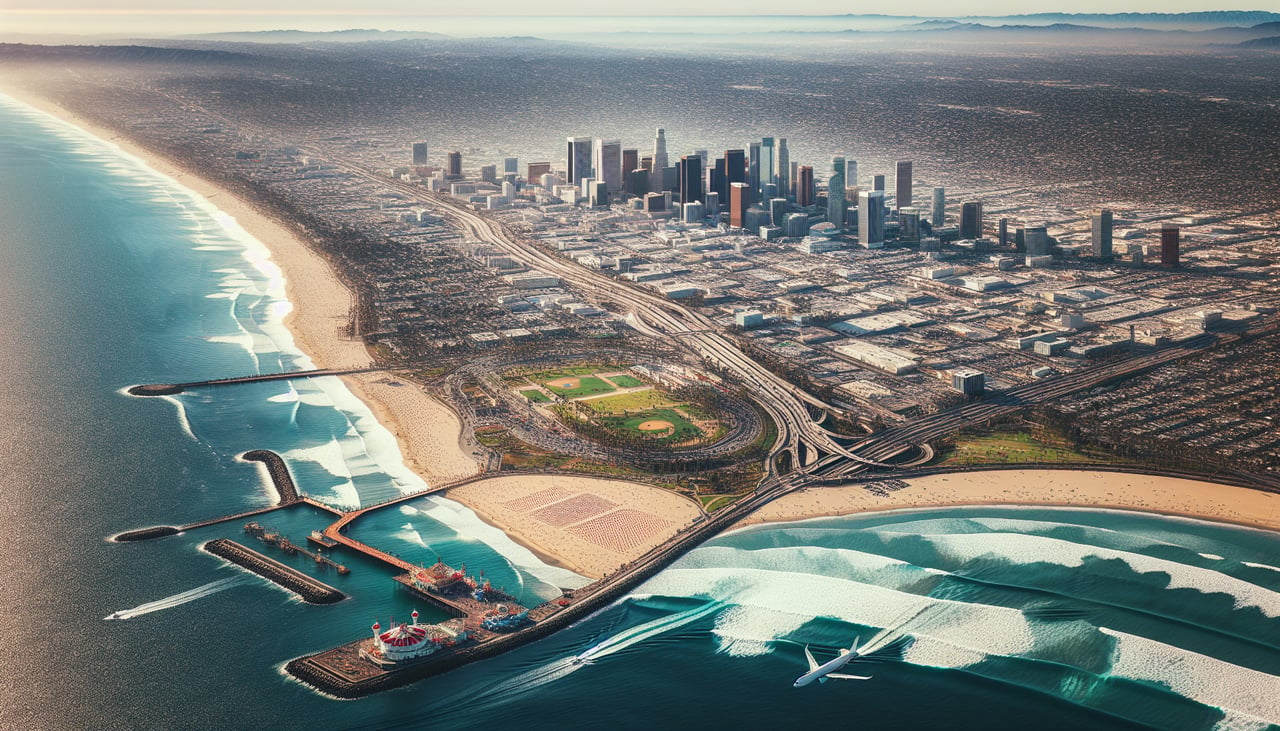
Landing at LAX
LEFTLeft-side seats provide excellent views during the descent into LAX, particularly the San Gabriel Mountains, the Los Angeles Basin sprawl, and the Pacific coastline. The approach path from the east brings these features into clear view on the left side.
Landmarks on this routeAll landmarks →
Will your flight be in sunlight?
Pick a date and time in the Sun Map to watch the sun move across your whole flight.
About This Route
Which side of the plane should I sit on flying from Ellsworth Afb (RCA) to Los Angeles International (LAX)?
Sit on the Right side of the plane for the best views on flights from Rapid City to Los Angeles. Right-side seats capture the most dramatic scenery: the Black Hills and high plains during departure, then the Rocky Mountain Front and high desert terrain during the long westbound cruise across Wyoming and Utah. Left-side seats only become scenic during the final descent into Los Angeles.
What can I see during takeoff from Ellsworth Afb in Rapid City?
During takeoff from Ellsworth Afb (RCA), sit on the Right side for the best views. Right-side seats offer immediate views of the Black Hills and surrounding high plains as the aircraft climbs westbound from Rapid City. The terrain rises dramatically to the west, making this the scenic side during departure. Notable sights include: Black Hills (immediately west), Harney Peak (highest point in South Dakota), Belle Fourche River valley, High Plains plateau.
What can I see when landing at Los Angeles International in Los Angeles?
When landing at Los Angeles International (LAX), sit on the Left side for the best views. Left-side seats provide excellent views during the descent into LAX, particularly the San Gabriel Mountains, the Los Angeles Basin sprawl, and the Pacific coastline. The approach path from the east brings these features into clear view on the left side. Notable sights include: San Gabriel Mountains, Los Angeles Basin urban grid, Pacific Ocean coastline, Santa Monica Bay.
How long is the flight from Rapid City to Los Angeles?
The flight from Ellsworth Afb (RCA) to Los Angeles International (LAX) takes about 2 hours 45 minutes. The shortest flight path between them is 1,079 miles (1,737 km); winds and air traffic control usually add a few percent.
What does the Rapid City to Los Angeles flight path pass over?
Wyoming high plains and basins, Bighorn Mountains (north of flight path), Great Divide Basin, Utah's high desert plateau, Wasatch Range (south of typical approach), Great Salt Lake (north of typical approach), transition from high elevation terrain to lower Mojave Desert as aircraft approaches California