The Andes departure offers a more dramatic, immediate mountain spectacle right at takeoff, while the rest of the roughly 11-hour flight is dominated by open, featureless South Pacific Ocean on both sides, giving the left side a slight overall edge.
Flown SCL to AKL? Did we get it right?
Flight Path
Santiago to Auckland is 5,998 miles (9,653 km), a flight of about 11 hours 50 minutes.
Vast, largely empty South Pacific Ocean with no landmasses directly on the flight path; the route passes well south of Easter Island and north of the Pitcairn Islands group, offering nothing but open water for most of the cruise.
Great circle distance and headings ›Phase by phase
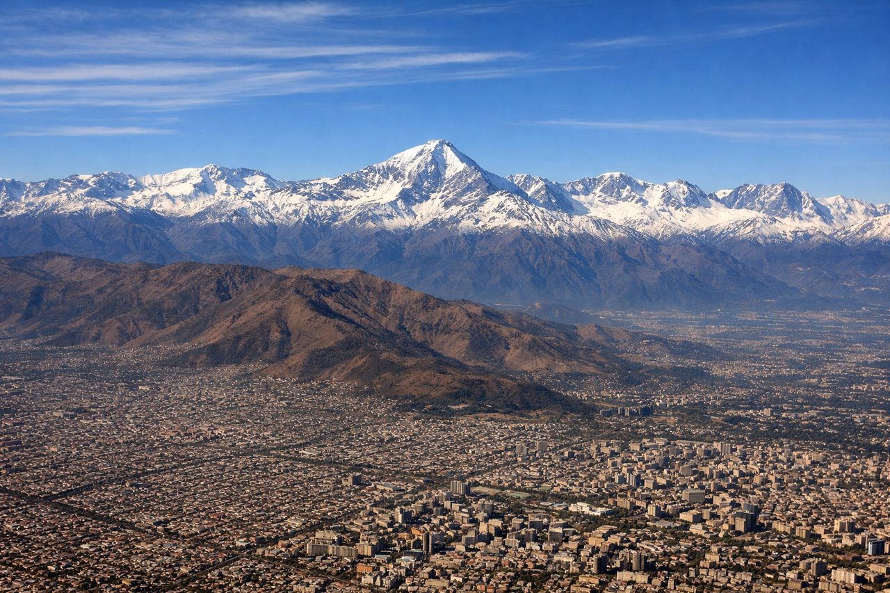
Takeoff from SCL
LEFTDeparting SCL southbound on runway 17, the Andes rise immediately to the east, putting the snow-capped peaks and ridgelines directly on the left side during the climb before the aircraft banks west toward the Pacific.
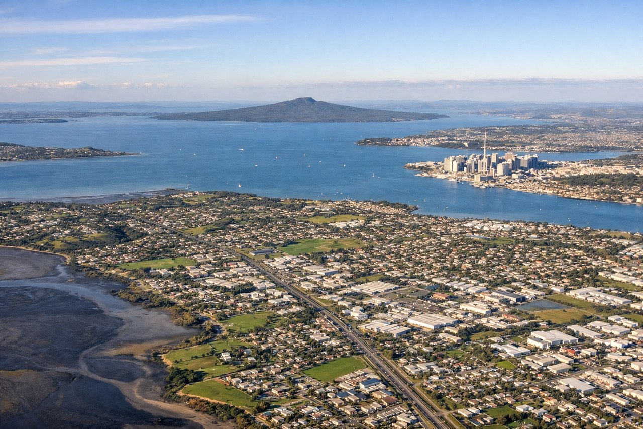
Landing at AKL
RIGHTAKL's typical approach to runway 23L comes in from the northeast over the Hauraki Gulf, so the descent puts Auckland's skyline, Rangitoto's distinctive volcanic cone, and the harbor islands on the right side of the aircraft.
Will your flight be in sunlight?
Pick a date and time in the Sun Map to watch the sun move across your whole flight.
About This Route
Which side of the plane should I sit on flying from Arturo Merino Benitez International (SCL) to Auckland International (AKL)?
Sit on the Left side of the plane for the best views on flights from Santiago to Auckland. The Andes departure offers a more dramatic, immediate mountain spectacle right at takeoff, while the rest of the roughly 11-hour flight is dominated by open, featureless South Pacific Ocean on both sides, giving the left side a slight overall edge.
What can I see during takeoff from Arturo Merino Benitez International in Santiago?
During takeoff from Arturo Merino Benitez International (SCL), sit on the Left side for the best views. Departing SCL southbound on runway 17, the Andes rise immediately to the east, putting the snow-capped peaks and ridgelines directly on the left side during the climb before the aircraft banks west toward the Pacific. Notable sights include: Andes Cordillera, Cerro El Plomo, Maipo Valley foothills, Santiago basin.
What can I see when landing at Auckland International in Auckland?
When landing at Auckland International (AKL), sit on the Right side for the best views. AKL's typical approach to runway 23L comes in from the northeast over the Hauraki Gulf, so the descent puts Auckland's skyline, Rangitoto's distinctive volcanic cone, and the harbor islands on the right side of the aircraft. Notable sights include: Rangitoto Island, Hauraki Gulf islands, Auckland CBD skyline, Waitemata Harbour.
How long is the flight from Santiago to Auckland?
The flight from Arturo Merino Benitez International (SCL) to Auckland International (AKL) takes about 11 hours 50 minutes. The shortest flight path between them is 5,998 miles (9,653 km); winds and air traffic control usually add a few percent.
What does the Santiago to Auckland flight path pass over?
Vast, largely empty South Pacific Ocean with no landmasses directly on the flight path; the route passes well south of Easter Island and north of the Pitcairn Islands group, offering nothing but open water for most of the cruise.