The takeoff view of the Andes from the right side is more visually striking and geographically significant than the landing view. While the Rio Grande on approach is notable, the dramatic cordillera departure offers superior scenery for most passengers.
Flown SCL to VVI? Did we get it right?
Flight Path
Santiago to Santa Cruz is 1,187 miles (1,910 km), a flight of about 2 hours 15 minutes.
The flight path crosses the Andes at roughly 14,000-16,000 feet, passing over high-altitude valleys and peaks in the Cochabamba region. The terrain transitions from the steep western Andean slopes to the gentler eastern slopes and eventually to the Bolivian lowlands. The Chapare region (coca-growing area with distinctive deforestation patterns) becomes visible in the descent phase. No major bodies of water are crossed, but numerous river valleys cut through the terrain below.
Great circle distance and headings ›


Phase by phase
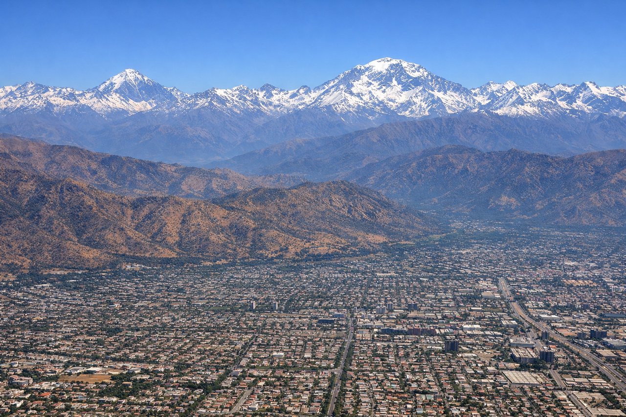
Takeoff from SCL
RIGHTSCL typically departs northbound (Runway 35L/R). Right-side seats face east toward the Andes cordillera, which rises dramatically from the Central Valley. Left seats look west toward the Pacific coastal plain, which is flatter and less visually distinctive.
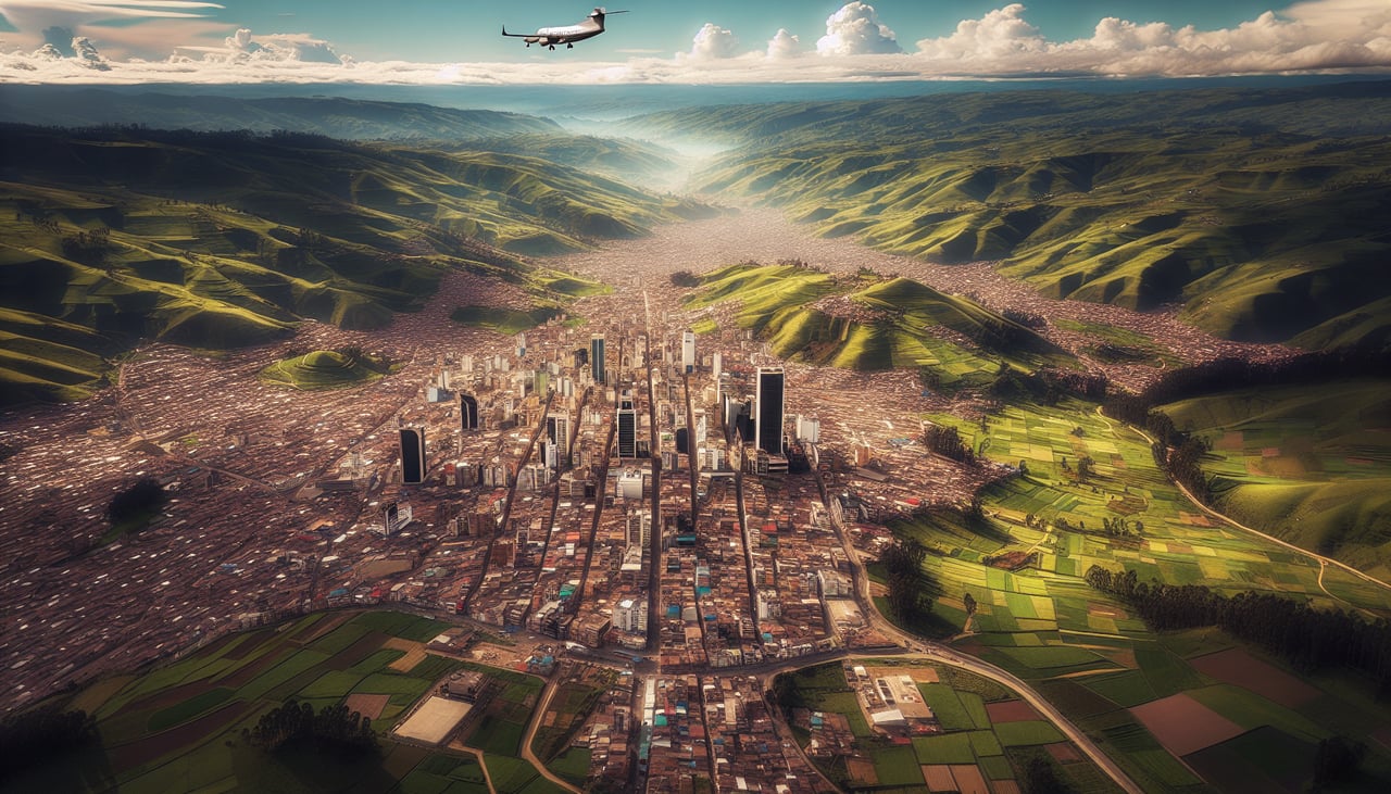
Landing at VVI
LEFTVVI approaches from the east (Runway 09). Left-side seats face south toward the Cerrado savanna and the Rio Grande, which is the dominant geographical feature near Santa Cruz. Right seats face north toward the city itself, which lacks distinctive natural landmarks from altitude.
Will your flight be in sunlight?
Pick a date and time in the Sun Map to watch the sun move across your whole flight.
About This Route
Which side of the plane should I sit on flying from Arturo Merino Benitez International (SCL) to Viru Viru International (VVI)?
Sit on the Right side of the plane for the best views on flights from Santiago to Santa Cruz. The takeoff view of the Andes from the right side is more visually striking and geographically significant than the landing view. While the Rio Grande on approach is notable, the dramatic cordillera departure offers superior scenery for most passengers.
What can I see during takeoff from Arturo Merino Benitez International in Santiago?
During takeoff from Arturo Merino Benitez International (SCL), sit on the Right side for the best views. SCL typically departs northbound (Runway 35L/R). Right-side seats face east toward the Andes cordillera, which rises dramatically from the Central Valley. Left seats look west toward the Pacific coastal plain, which is flatter and less visually distinctive. Notable sights include: Andes Mountains (eastern horizon, snow-capped peaks visible in clear conditions), Santiago urban sprawl (directly below during initial climb), Mapocho River valley (threading through the city), Coastal Range foothills (western edge of the valley, lower elevation).
What can I see when landing at Viru Viru International in Santa Cruz?
When landing at Viru Viru International (VVI), sit on the Left side for the best views. VVI approaches from the east (Runway 09). Left-side seats face south toward the Cerrado savanna and the Rio Grande, which is the dominant geographical feature near Santa Cruz. Right seats face north toward the city itself, which lacks distinctive natural landmarks from altitude. Notable sights include: Rio Grande (major river, visible as a winding brown/tan line in the landscape), Cerrado vegetation (semi-arid scrubland with distinctive sparse tree coverage), Santa Cruz city (urban grid visible but less dramatic than Santiago), Agricultural clearings (rectangular patches of deforestation in the surrounding forest-savanna transition).
How long is the flight from Santiago to Santa Cruz?
The flight from Arturo Merino Benitez International (SCL) to Viru Viru International (VVI) takes about 2 hours 15 minutes. The shortest flight path between them is 1,187 miles (1,910 km); winds and air traffic control usually add a few percent.
What does the Santiago to Santa Cruz flight path pass over?
The flight path crosses the Andes at roughly 14,000-16,000 feet, passing over high-altitude valleys and peaks in the Cochabamba region. The terrain transitions from the steep western Andean slopes to the gentler eastern slopes and eventually to the Bolivian lowlands. The Chapare region (coca-growing area with distinctive deforestation patterns) becomes visible in the descent phase. No major bodies of water are crossed, but numerous river valleys cut through the terrain below.