The right side captures the spectacular Puget Sound and Olympic Mountains departure, then as the flight tracks south-southeast over Oregon and into the Great Basin, the right side also picks up views of the Cascade volcanoes including Mount Rainier close by during initial climb, and later the high desert terrain of eastern Oregon and Nevada. The left side has the edge at landing with the Sandias, but the right side wins overall for the sheer drama of the Seattle departure alone.
Flown SEA to ABQ? Did we get it right?
Flight Path
Seattle to Albuquerque is 1,179 miles (1,897 km), a flight of about 2 hours 55 minutes.
The flight path crosses the southern Washington Cascades near Mount Adams, then tracks over the high desert of eastern Oregon including the Columbia Plateau, the Basin and Range terrain of northern Nevada, and the Colorado Plateau before descending into the Rio Grande rift valley at Albuquerque. The Great Salt Lake may be visible to the east depending on exact routing. The transition from green Pacific Northwest terrain to stark tan desert is dramatic and occurs roughly over the Oregon-Nevada border.
Great circle distance and headings ›


Phase by phase
Takeoff from SEA
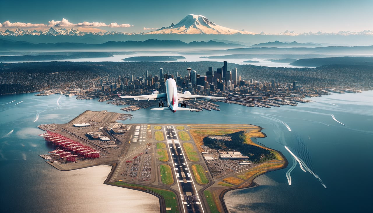
RIGHTSEA primarily uses runways 16L/16R for southbound departures, meaning the aircraft heads south-southeast. The right side faces west toward Puget Sound, Vashon Island, and the Olympic Mountains across the water. This is a dramatically scenic departure with open water and snow-capped peaks filling the view.
Landing at ABQ
LEFTABQ typically uses runways 08/26 or 03/21. On approach from the north on runway 08 or 21, the left side faces north and west toward the Sandia Mountains, which rise dramatically 5,000 feet above the city to the east of Albuquerque — but on a standard westerly approach the Sandias are on the left. The Rio Grande valley and the city grid are also clearly visible on the left during final approach.
Will your flight be in sunlight?
Pick a date and time in the Sun Map to watch the sun move across your whole flight.
About This Route
Which side of the plane should I sit on flying from Seattle Tacoma International (SEA) to Albuquerque International Sunport (ABQ)?
Sit on the Right side of the plane for the best views on flights from Seattle to Albuquerque. The right side captures the spectacular Puget Sound and Olympic Mountains departure, then as the flight tracks south-southeast over Oregon and into the Great Basin, the right side also picks up views of the Cascade volcanoes including Mount Rainier close by during initial climb, and later the high desert terrain of eastern Oregon and Nevada. The left side has the edge at landing with the Sandias, but the right side wins overall for the sheer drama of the Seattle departure alone.
What can I see during takeoff from Seattle Tacoma International in Seattle?
During takeoff from Seattle Tacoma International (SEA), sit on the Right side for the best views. SEA primarily uses runways 16L/16R for southbound departures, meaning the aircraft heads south-southeast. The right side faces west toward Puget Sound, Vashon Island, and the Olympic Mountains across the water. This is a dramatically scenic departure with open water and snow-capped peaks filling the view. Notable sights include: Puget Sound, Vashon Island, Olympic Mountains, Commencement Bay near Tacoma.
What can I see when landing at Albuquerque International Sunport in Albuquerque?
When landing at Albuquerque International Sunport (ABQ), sit on the Left side for the best views. ABQ typically uses runways 08/26 or 03/21. On approach from the north on runway 08 or 21, the left side faces north and west toward the Sandia Mountains, which rise dramatically 5,000 feet above the city to the east of Albuquerque — but on a standard westerly approach the Sandias are on the left. The Rio Grande valley and the city grid are also clearly visible on the left during final approach. Notable sights include: Sandia Mountains, Rio Grande valley, Albuquerque city grid, West Mesa volcanic escarpment.
How long is the flight from Seattle to Albuquerque?
The flight from Seattle Tacoma International (SEA) to Albuquerque International Sunport (ABQ) takes about 2 hours 55 minutes. The shortest flight path between them is 1,179 miles (1,897 km); winds and air traffic control usually add a few percent.
What does the Seattle to Albuquerque flight path pass over?
The flight path crosses the southern Washington Cascades near Mount Adams, then tracks over the high desert of eastern Oregon including the Columbia Plateau, the Basin and Range terrain of northern Nevada, and the Colorado Plateau before descending into the Rio Grande rift valley at Albuquerque. The Great Salt Lake may be visible to the east depending on exact routing. The transition from green Pacific Northwest terrain to stark tan desert is dramatic and occurs roughly over the Oregon-Nevada border.