The right side wins on both ends of the flight: Mount Rainier dominates the SEA departure view, and Boston Harbor with the city skyline anchors the BOS arrival, while the cruise portion over the northern Plains and Great Lakes is comparatively flat and offers no strong advantage to either side.
Flown SEA to BOS? Did we get it right?
Flight Path
Seattle to Boston is 2,489 miles (4,006 km), a flight of about 5 hours 10 minutes.
Route crosses the Northern Rockies near Montana, the flat farmland of North Dakota and Minnesota, and passes near the southern shore of Lake Superior and Lake Michigan before continuing over southern Ontario and upstate New York toward New England.
Great circle distance and headings ›


Phase by phase
Takeoff from SEA
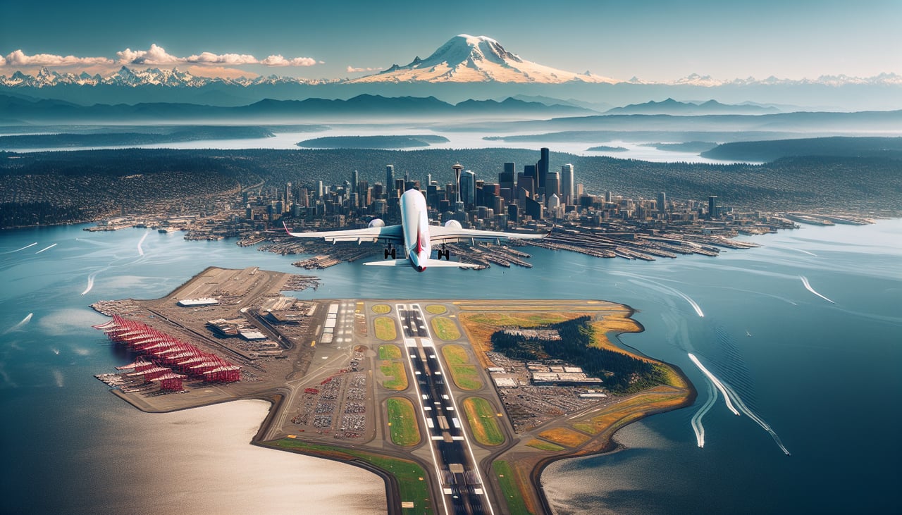
RIGHTDepartures off SEA typically roll south before turning east toward the Cascades, and during that turn Mount Rainier's snow-capped cone sits prominently off the right side along with the forested foothills leading into the mountains. The left side mostly shows Seattle's suburbs and Puget Sound receding rather than a dramatic peak.
Landing at BOS
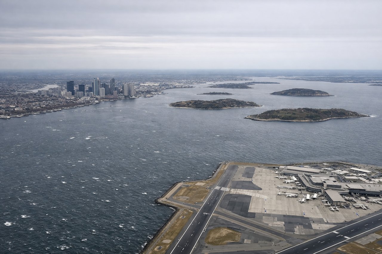
RIGHTOn the approach into Logan, the final turn toward the harbor-adjacent runways brings Boston Harbor's islands and the downtown skyline into view on the right side of the aircraft, with the Atlantic coastline framing the scene. The left side mostly faces inland residential neighborhoods with fewer distinctive landmarks.
Will your flight be in sunlight?
Pick a date and time in the Sun Map to watch the sun move across your whole flight.
About This Route
Which side of the plane should I sit on flying from Seattle Tacoma International (SEA) to General Edward Lawrence Logan International (BOS)?
Sit on the Right side of the plane for the best views on flights from Seattle to Boston. The right side wins on both ends of the flight: Mount Rainier dominates the SEA departure view, and Boston Harbor with the city skyline anchors the BOS arrival, while the cruise portion over the northern Plains and Great Lakes is comparatively flat and offers no strong advantage to either side.
What can I see during takeoff from Seattle Tacoma International in Seattle?
During takeoff from Seattle Tacoma International (SEA), sit on the Right side for the best views. Departures off SEA typically roll south before turning east toward the Cascades, and during that turn Mount Rainier's snow-capped cone sits prominently off the right side along with the forested foothills leading into the mountains. The left side mostly shows Seattle's suburbs and Puget Sound receding rather than a dramatic peak. Notable sights include: Mount Rainier, Puget Sound, Cascade foothills, Seattle skyline (distant).
What can I see when landing at General Edward Lawrence Logan International in Boston?
When landing at General Edward Lawrence Logan International (BOS), sit on the Right side for the best views. On the approach into Logan, the final turn toward the harbor-adjacent runways brings Boston Harbor's islands and the downtown skyline into view on the right side of the aircraft, with the Atlantic coastline framing the scene. The left side mostly faces inland residential neighborhoods with fewer distinctive landmarks. Notable sights include: Boston Harbor Islands, Boston skyline (Financial District/Back Bay), Logan Airport peninsula, Atlantic coastline.
How long is the flight from Seattle to Boston?
The flight from Seattle Tacoma International (SEA) to General Edward Lawrence Logan International (BOS) takes about 5 hours 10 minutes. The shortest flight path between them is 2,489 miles (4,006 km); winds and air traffic control usually add a few percent.
What does the Seattle to Boston flight path pass over?
Route crosses the Northern Rockies near Montana, the flat farmland of North Dakota and Minnesota, and passes near the southern shore of Lake Superior and Lake Michigan before continuing over southern Ontario and upstate New York toward New England.