Seattle to Belize City is 2,822 miles (4,541 km), a flight of about 6 hours 30 minutes.
The right side delivers the most dramatic single moment of the flight with Mount Rainier on departure, and throughout the cruise you get westward views over the Gulf of Mexico approach. The landing view on the left is spectacular but briefer. Right side wins overall for the Rainier departure alone.
Flight Path
The route tracks southeast over Oregon and northern California, then over the Sierra Nevada, crossing into Mexico over Sonora or Chihuahua. The flight passes over the Sierra Madre Occidental range in Mexico, then crosses the Gulf of Mexico or the Yucatan Peninsula depending on routing, before descending over the Caribbean coast of Belize. The Yucatan jungle and the turquoise Gulf of Honduras are visible in the final hour.
Great circle distance and headings ›

.jpg?width=600)
Phase by phase
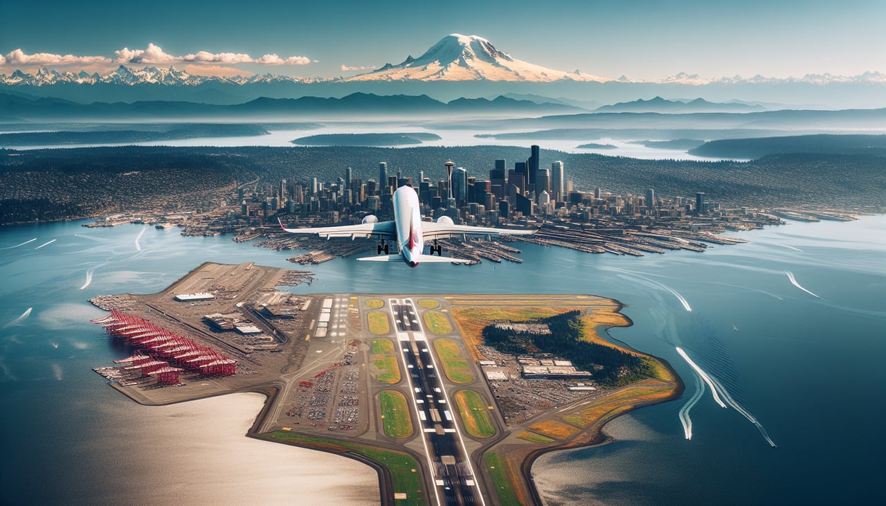
Takeoff from SEA
RIGHTSEA typically departs south on runway 16R/16C, then turns southeast. The right side gives you a clear view of Mount Rainier dominating the eastern skyline, with the Cascade Range stretching north and south. You also get a good look at Lake Washington and the Seattle city grid before the turn.
Landing at BZE
LEFTBZE approaches typically from the northeast over the Caribbean, landing on runway 07/25. On a southwesterly approach, the left side looks out over the turquoise shallow waters of Belize Harbour and the barrier reef system, with the cayes visible as low sandy strips. The right side faces inland toward mangrove and jungle.
Landmarks on this routeAll landmarks →
Will your flight be in sunlight?
Pick a date and time in the Sun Map to watch the sun move across your whole flight.
About This Route
Which side of the plane should I sit on flying from Seattle Tacoma International (SEA) to Philip S W Goldson International (BZE)?
Sit on the Right side of the plane for the best views on flights from Seattle to Belize City. The right side delivers the most dramatic single moment of the flight with Mount Rainier on departure, and throughout the cruise you get westward views over the Gulf of Mexico approach. The landing view on the left is spectacular but briefer. Right side wins overall for the Rainier departure alone.
What can I see during takeoff from Seattle Tacoma International in Seattle?
During takeoff from Seattle Tacoma International (SEA), sit on the Right side for the best views. SEA typically departs south on runway 16R/16C, then turns southeast. The right side gives you a clear view of Mount Rainier dominating the eastern skyline, with the Cascade Range stretching north and south. You also get a good look at Lake Washington and the Seattle city grid before the turn. Notable sights include: Mount Rainier (14,411 ft), Lake Washington, Seattle downtown skyline, Cascade Range foothills.
What can I see when landing at Philip S W Goldson International in Belize City?
When landing at Philip S W Goldson International (BZE), sit on the Left side for the best views. BZE approaches typically from the northeast over the Caribbean, landing on runway 07/25. On a southwesterly approach, the left side looks out over the turquoise shallow waters of Belize Harbour and the barrier reef system, with the cayes visible as low sandy strips. The right side faces inland toward mangrove and jungle. Notable sights include: Belize Barrier Reef, Belize City coastal grid, Caribbean cayes (Caye Caulker, Ambergris Caye visible to the north), Belize Harbour.
How long is the flight from Seattle to Belize City?
The flight from Seattle Tacoma International (SEA) to Philip S W Goldson International (BZE) takes about 6 hours 30 minutes. The shortest flight path between them is 2,822 miles (4,541 km); winds and air traffic control usually add a few percent.
What does the Seattle to Belize City flight path pass over?
The route tracks southeast over Oregon and northern California, then over the Sierra Nevada, crossing into Mexico over Sonora or Chihuahua. The flight passes over the Sierra Madre Occidental range in Mexico, then crosses the Gulf of Mexico or the Yucatan Peninsula depending on routing, before descending over the Caribbean coast of Belize. The Yucatan jungle and the turquoise Gulf of Honduras are visible in the final hour.