Right-side seats offer superior scenery for the majority of the flight. The takeoff climb provides dramatic Cascade Range views including Mount Rainier, and the right side maintains better visibility of the mountain terrain as the aircraft tracks eastward across Washington state toward Wenatchee.
Flown SEA to EAT? Did we get it right?
Flight Path
Seattle to Wenatchee is 98 miles (158 km), a flight of about 55 minutes.
The flight path crosses the Cascade Range crest between Seattle and Wenatchee. Notable features visible from altitude include the Snoqualmie Pass area (around 3,000 feet elevation), the transition from dense Pacific Northwest forest to increasingly sparse vegetation, and the dramatic elevation change from sea-level Puget Sound to the 1,200-foot elevation of Wenatchee. The Columbia River becomes visible as the aircraft descends into the Wenatchee valley on final approach.
Great circle distance and headings ›Phase by phase
Takeoff from SEA
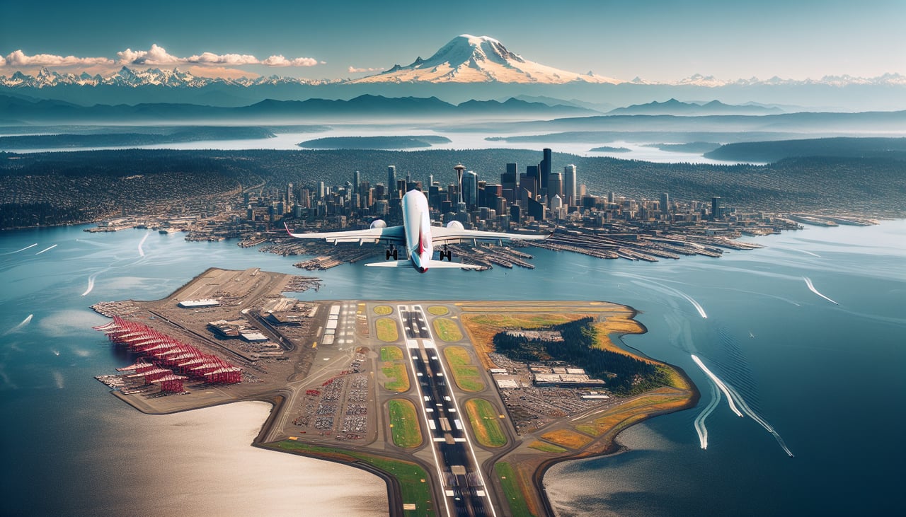
RIGHTRight-side seats offer clear views of the Cascade Range as the aircraft climbs eastward from Seattle-Tacoma. The mountains dominate the eastern horizon during the initial climb-out, providing dramatic scenery within the first 10-15 minutes of flight.
Landing at EAT
LEFTLeft-side seats provide excellent views during the descent into Wenatchee, with clear sightlines to the Columbia River and the surrounding semi-arid landscape. The river valley and the town itself become visible on the left as the aircraft descends from the west.
Will your flight be in sunlight?
Pick a date and time in the Sun Map to watch the sun move across your whole flight.
About This Route
Which side of the plane should I sit on flying from Seattle Tacoma International (SEA) to Pangborn Memorial Airport (EAT)?
Sit on the Right side of the plane for the best views on flights from Seattle to Wenatchee. Right-side seats offer superior scenery for the majority of the flight. The takeoff climb provides dramatic Cascade Range views including Mount Rainier, and the right side maintains better visibility of the mountain terrain as the aircraft tracks eastward across Washington state toward Wenatchee.
What can I see during takeoff from Seattle Tacoma International in Seattle?
During takeoff from Seattle Tacoma International (SEA), sit on the Right side for the best views. Right-side seats offer clear views of the Cascade Range as the aircraft climbs eastward from Seattle-Tacoma. The mountains dominate the eastern horizon during the initial climb-out, providing dramatic scenery within the first 10-15 minutes of flight. Notable sights include: Cascade Range (Mount Rainier visible on clear days), Puget Sound to the west, Lake Washington below the airport, foothills of the Cascades rising progressively eastward.
What can I see when landing at Pangborn Memorial Airport in Wenatchee?
When landing at Pangborn Memorial Airport (EAT), sit on the Left side for the best views. Left-side seats provide excellent views during the descent into Wenatchee, with clear sightlines to the Columbia River and the surrounding semi-arid landscape. The river valley and the town itself become visible on the left as the aircraft descends from the west. Notable sights include: Columbia River (the primary visual reference for approach), Wenatchee city and urban area, Cascade Range receding to the west, semi-arid shrubland and agricultural areas of central Washington.
How long is the flight from Seattle to Wenatchee?
The flight from Seattle Tacoma International (SEA) to Pangborn Memorial Airport (EAT) takes about 55 minutes. The shortest flight path between them is 98 miles (158 km); winds and air traffic control usually add a few percent.
What does the Seattle to Wenatchee flight path pass over?
The flight path crosses the Cascade Range crest between Seattle and Wenatchee. Notable features visible from altitude include the Snoqualmie Pass area (around 3,000 feet elevation), the transition from dense Pacific Northwest forest to increasingly sparse vegetation, and the dramatic elevation change from sea-level Puget Sound to the 1,200-foot elevation of Wenatchee. The Columbia River becomes visible as the aircraft descends into the Wenatchee valley on final approach.